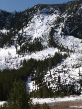
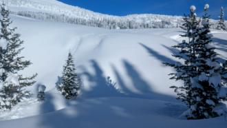
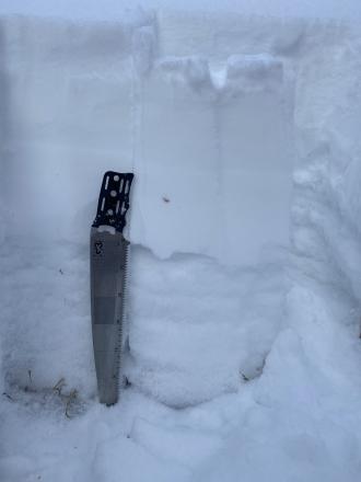
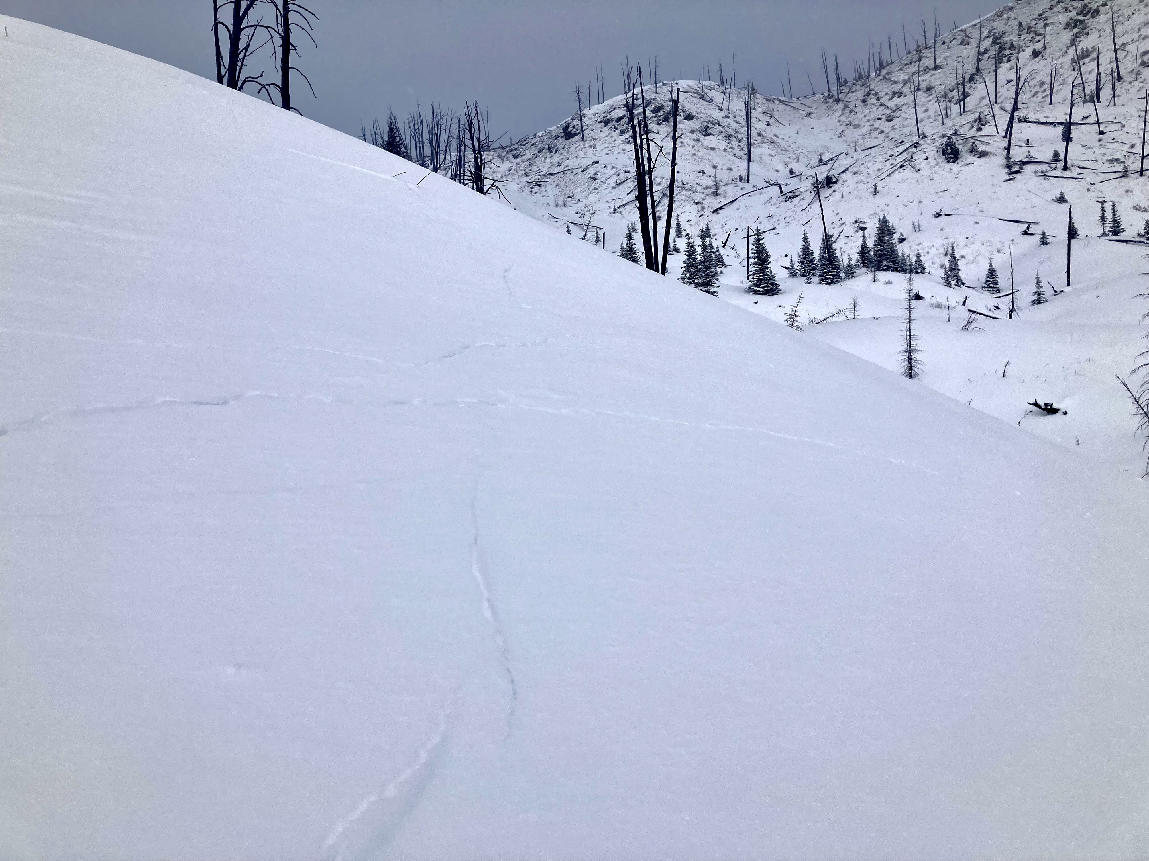
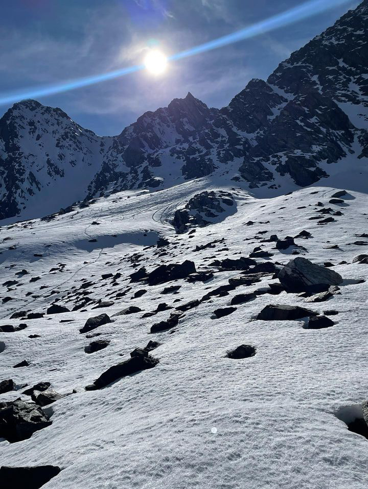
Saw what looked like a wet slab avalanche from the road along the Madison River. Roughly north facing slope at 7500'.
Trip Planning for Southern Gallatin

Primary Problem: New Snow
Bottom Line: Over the next few days avalanches will primarily involve the recent snow and more snow that falls. Large wet slabs, and wet-loose avalanches deeper than the new snow, are not as likely the next few days. The variable and quickly changing spring weather creates a mix of avalanche concerns to watch for. The snowpack can change drastically from day to day, throughout the day, and across different aspects and elevations. Carefully evaluate the snowpack throughout the day, and have alternate plans in case you find unstable snow. Lower elevations are showing dirt and grass, but snow in the mountains means avalanches are possible. Remain diligent with careful snowpack assessment and route-finding, and carry proper avalanche rescue gear.Past 5 Days
Mon Apr 15

None
None
Fri Apr 19
None
None
Mon Apr 22
None
None
Fri Apr 26
None
None
Mon Apr 29
None
None
Relevant Avalanche Activity
Out of Advisory Area
Other place
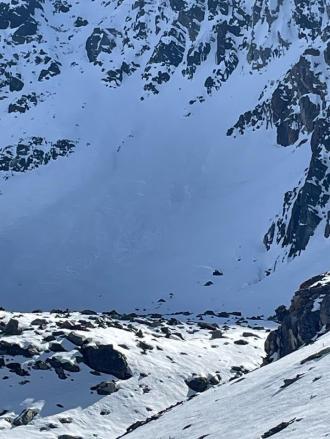
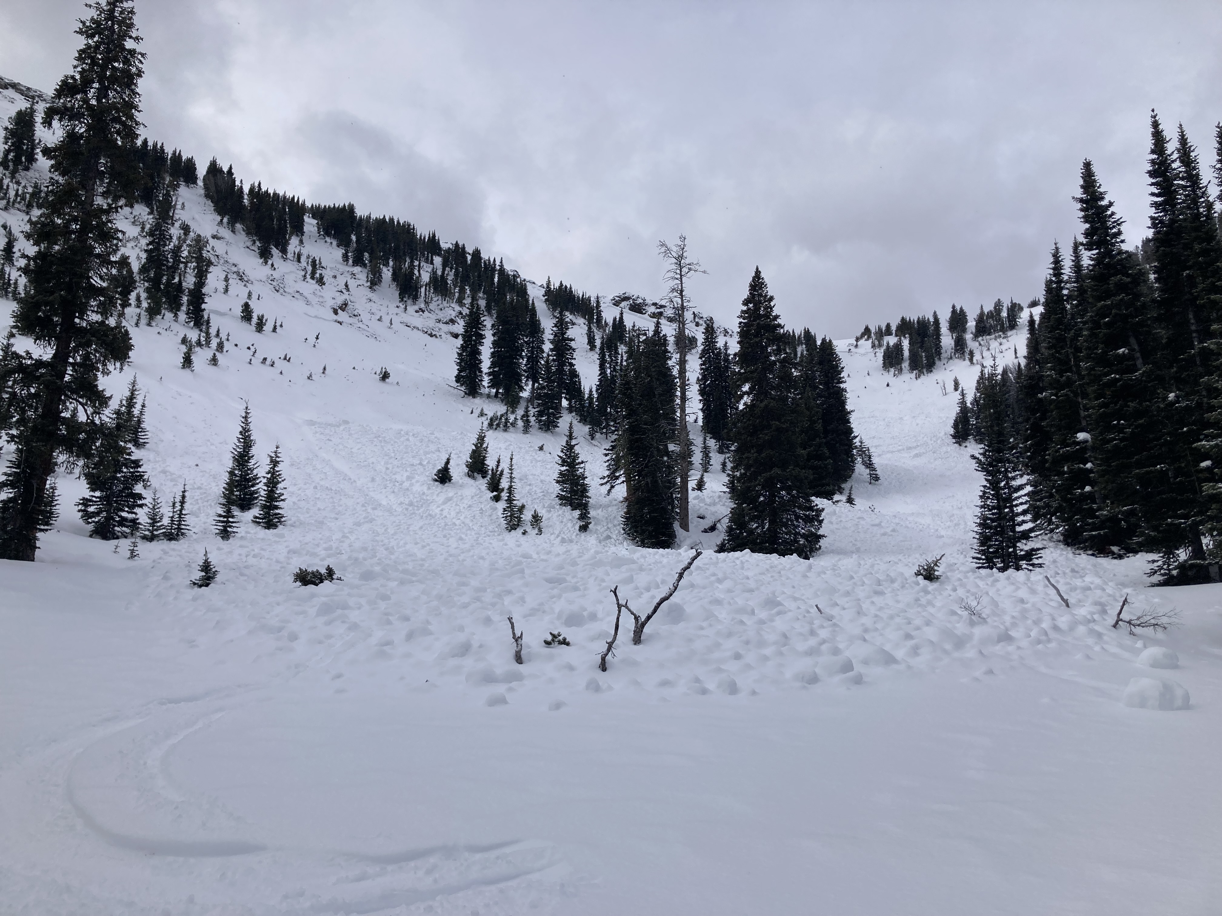
Wet Slab in Yellowstone
Other place
WS-N-R2-D2-O
Elevation: 7,500
Aspect: N
Coordinates: 44.6432, -110.9540
Caught: 0 ; Buried: 0
More Avalanche Details
WS-N-R2-D2-O
Elevation: 7,500
Aspect: N
Coordinates: 44.6432, -110.9540
Caught: 0 ; Buried: 0
Saw what looked like a wet slab avalanche from the road along the Madison River. Roughly north facing slope at 7500'.
More Avalanche Details
Southern Madison
Quake Lake
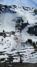
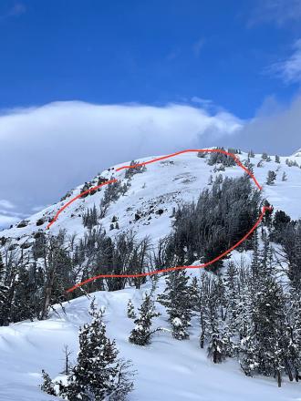
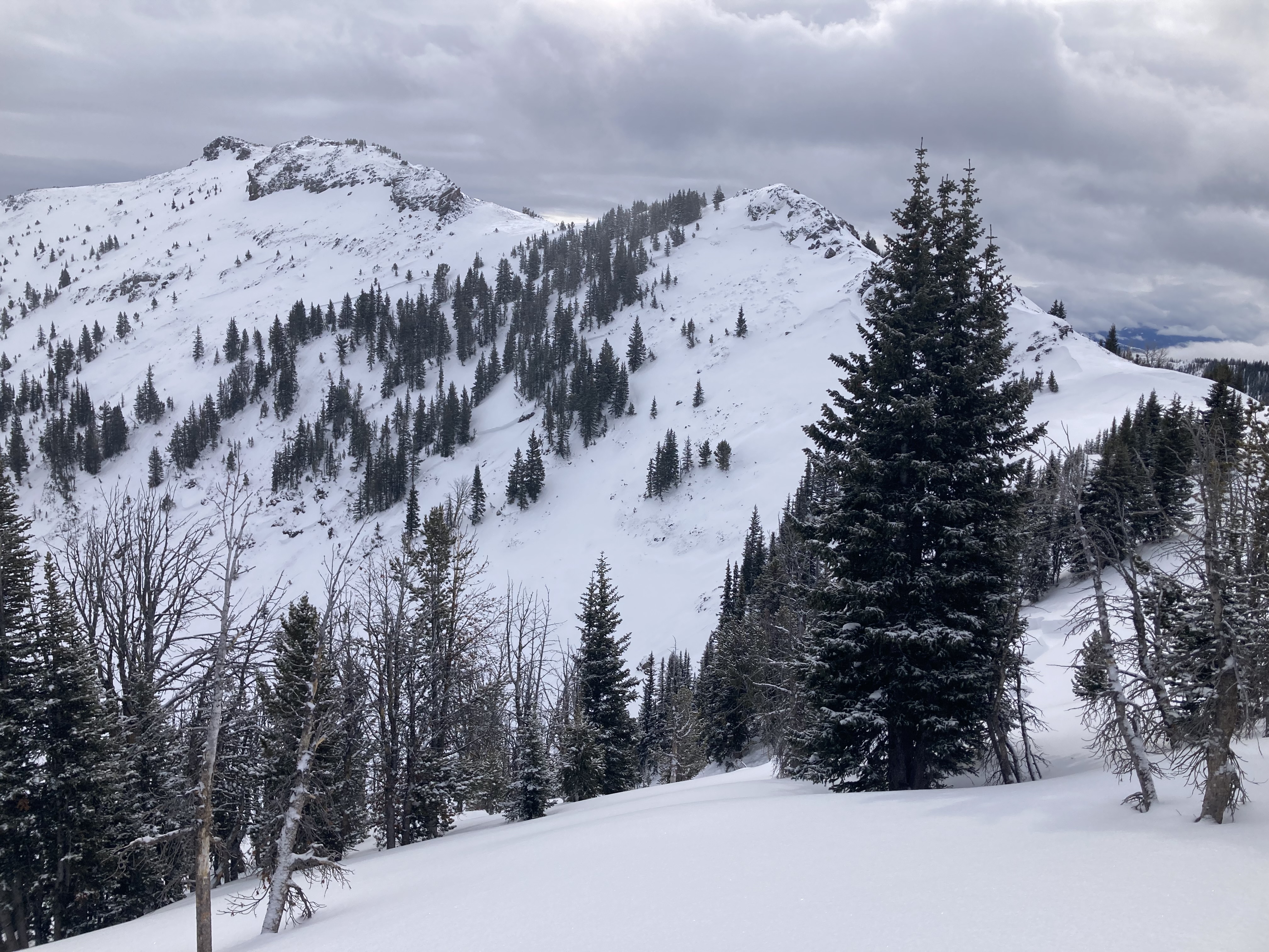
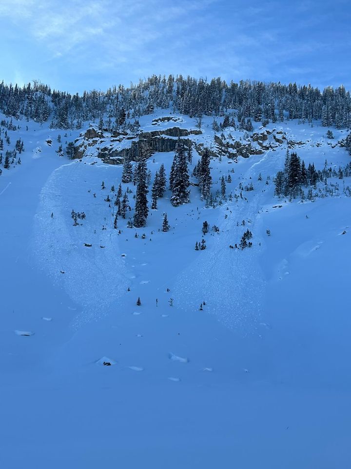
Wet Slab Avalanche Above Quake Lake
Quake Lake
WS-N-R2-D2-G
Coordinates: 44.8524, -111.3920
Caught: 0 ; Buried: 0
More Avalanche Details
WS-N-R2-D2-G
Coordinates: 44.8524, -111.3920
Caught: 0 ; Buried: 0
From IG: Wet slide to the ground above Quake Lake.
More Avalanche Details
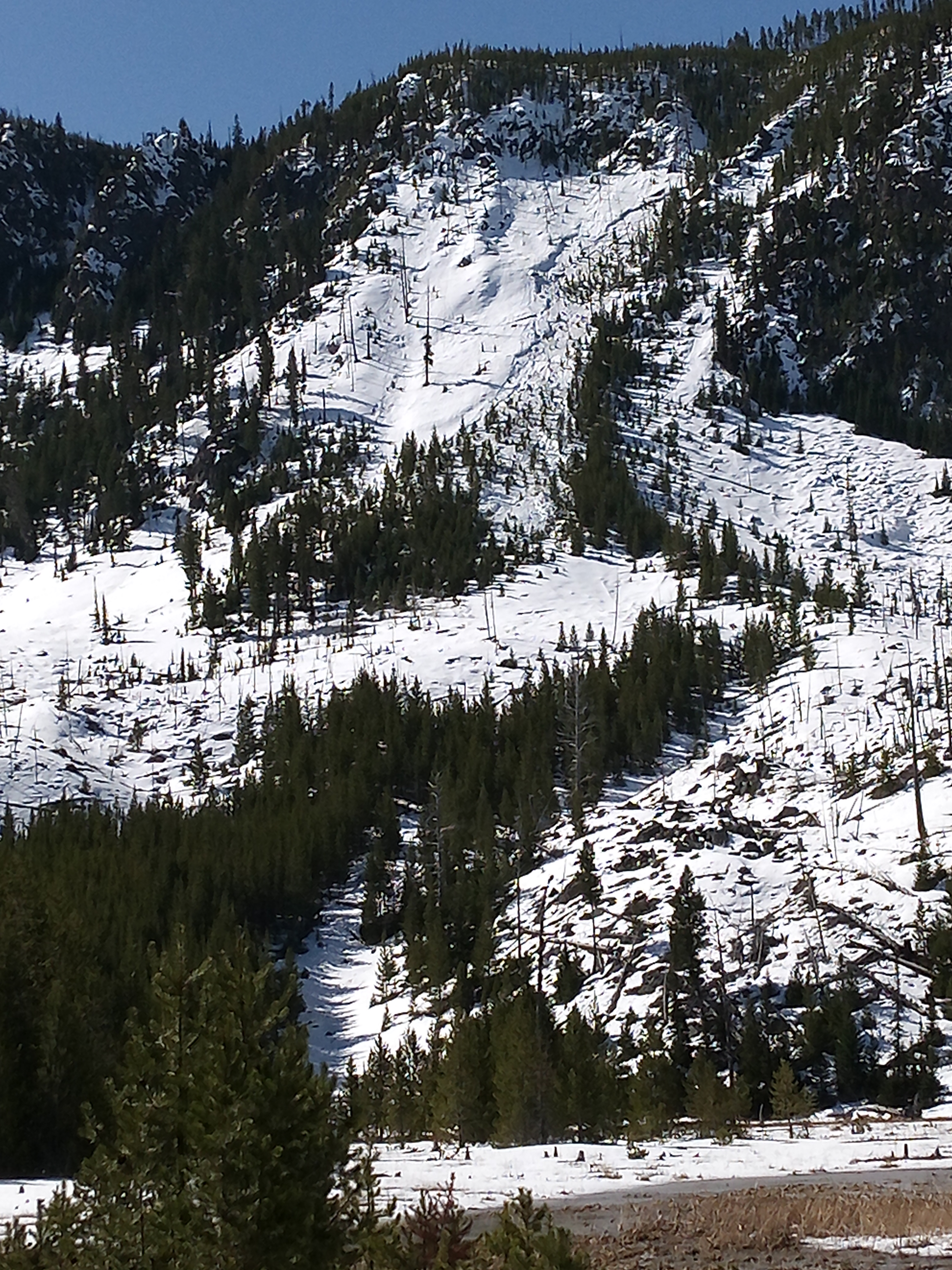
Relevant Photos
Displaying 1 - 18
-

-

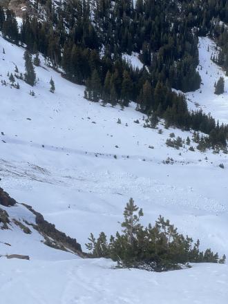
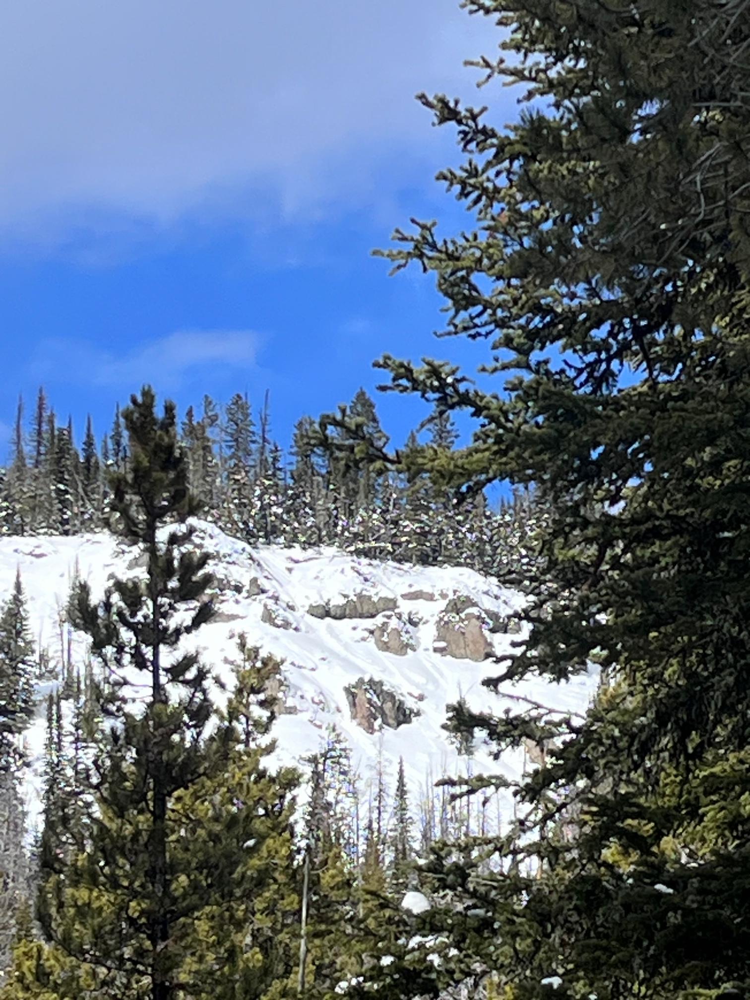
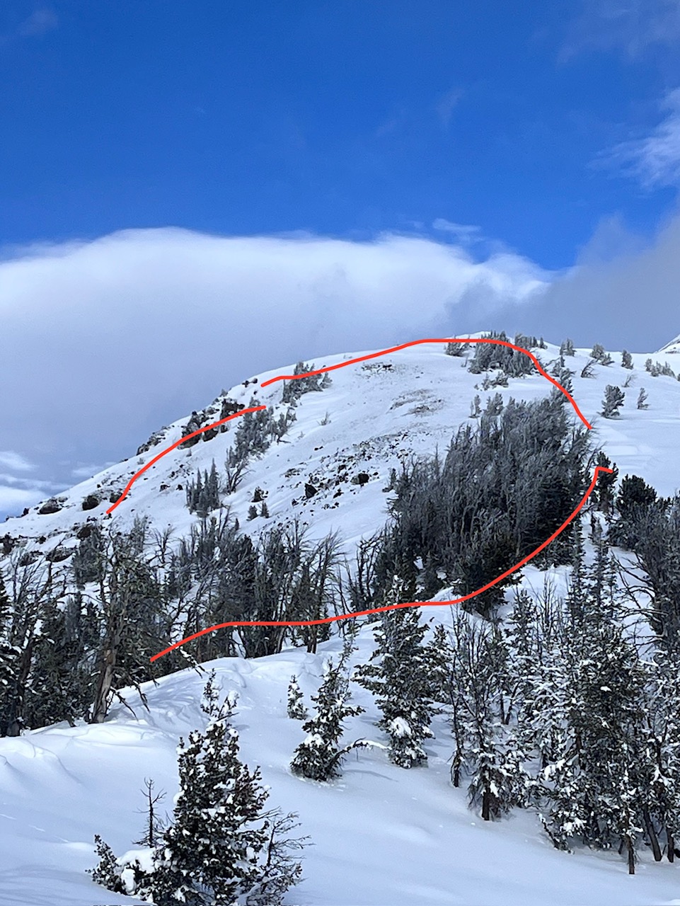
Skiers a few days ago saw several deep natural avalanches near the head of Swan Creek. These avalanches broke 2-5' deep, 2000' wide, and ran "full track". The exact date of when these avalanches happened is unknown but they likely happened over a week ago in the first few days of March. Photo: S. Reinsel
-
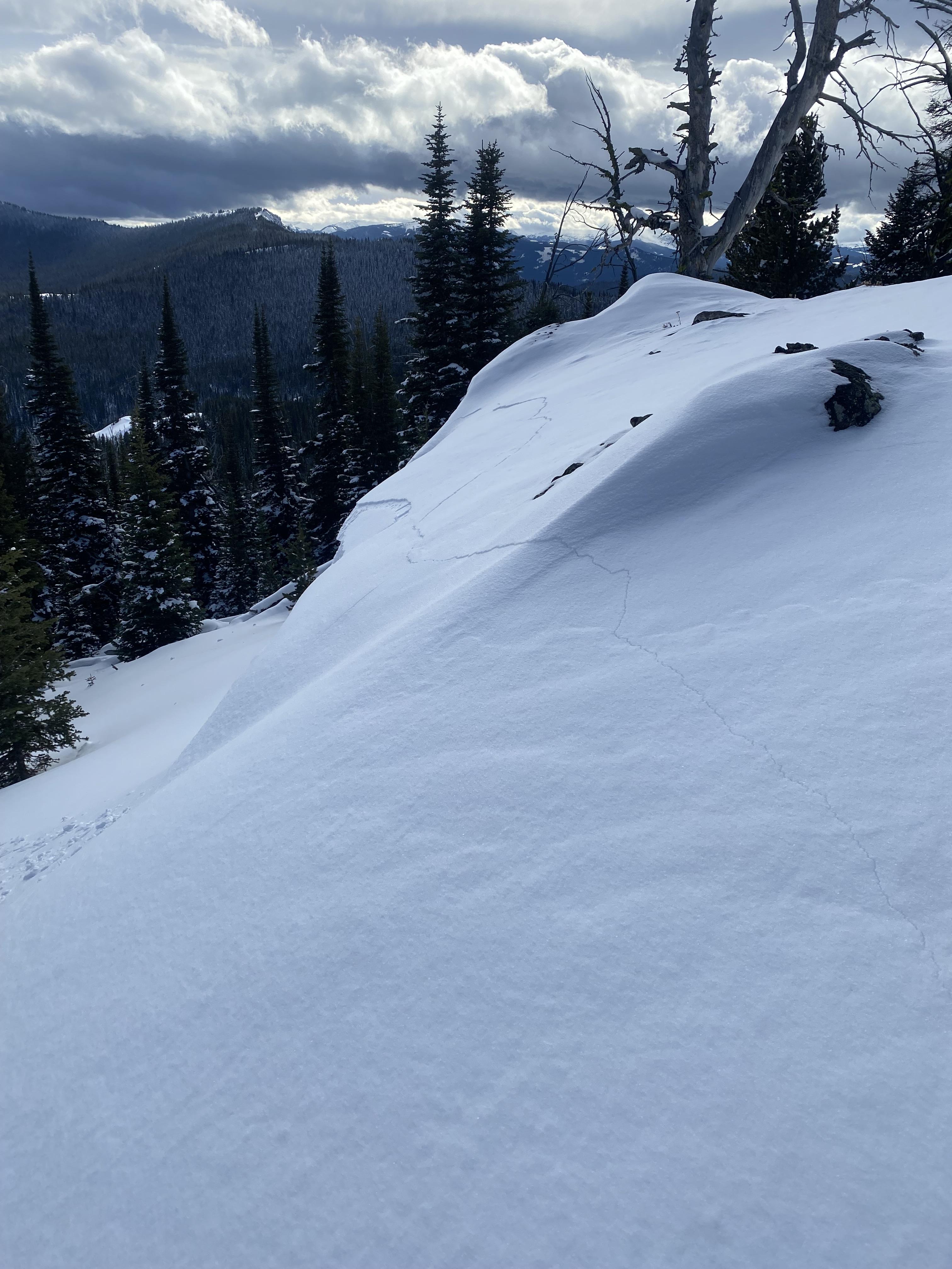
Riders saw a large crack in the snow near the Cabin Creek Cabin in the S. Madison Range. This is a red flag for unstable conditions. Anonymous
-

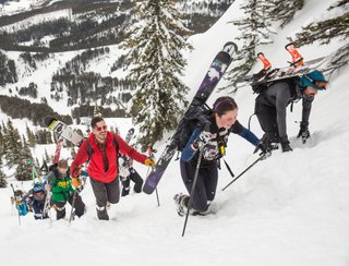
Do you like to hike? Do you like to ski? Then the King & Queen of the Ridge is for you. Hike, ski and raise money for the Friends of the Avalanche Center in their 2nd biggest fundraiser of the year. Join the effort to promote and support avalanche safety and awareness! Fundraising prizes for top 5 individuals who raise over $500. No racing is necessary to compete for the fundraising prizes. Info to fundraise is HERE or donate here. Race participants for the [insert dates] event must register separately with Bridger Bowl here.
-

Photo and observation from 01/20
From obs: "Large roller balls were observed in avalanche terrain on a SE aspect at 8,300'. Alongside this observation, rather wet, sticky snow was observed throughout the tour, causing multiple glopping incidents on our skins." Photo: E. Webb
-
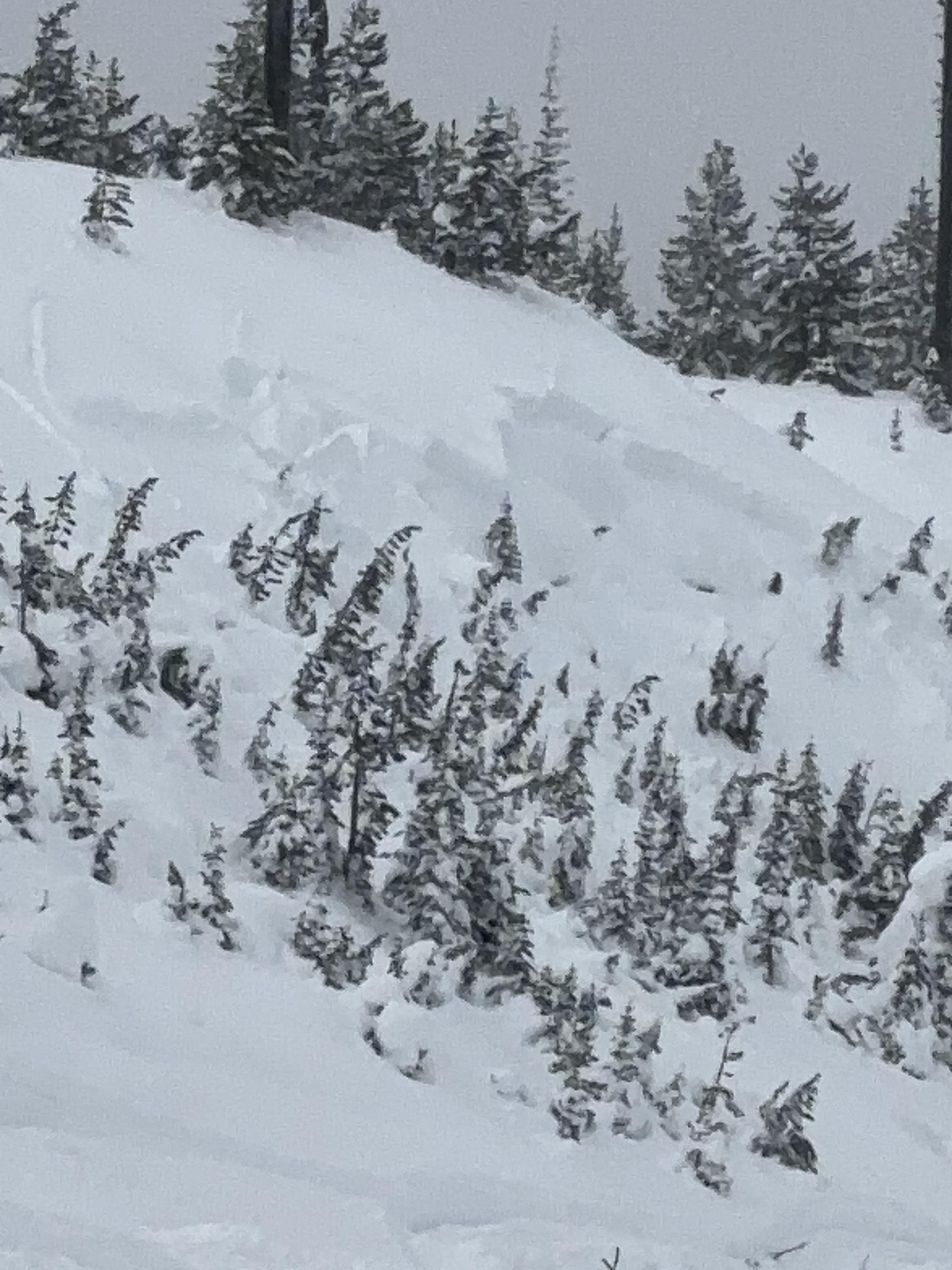
Skiers on 01/20 saw a natural avalanche that happened the day before on 01/19. Photo: E. Webb
-

From observations on 01/20:
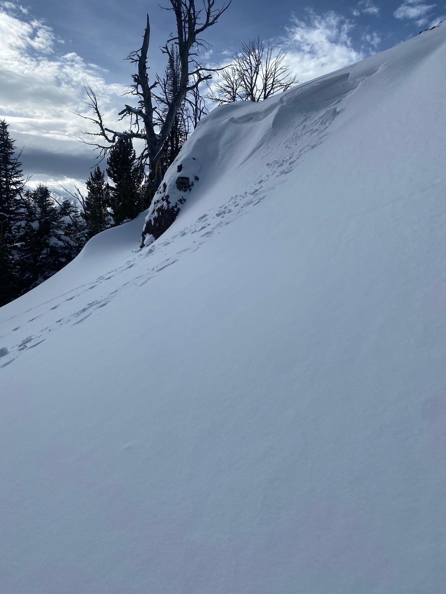
Shooting cracks above a cornice that created a small avalanche. Photo: D. Halama
-

From observation on 01/20:
While approaching a cornice skiers collapsed the slope and triggered a small cornice. Photo: E. Webb
-

A small avalanche was seen in Black Bear Canyon on 01/14. This was a recent avalanche that happened today or yesterday 01/13.
-
Cracking at Fawn Pass this was accompanied by multiple collapses during the tour. Photo: S. Reinsel
-
Large surface near Little Bear. Photo: JR Mooney
-

From IG on 12/10: "2 slides we triggered remotely in tepee yesterday"
-
From obs: "Dug into the hillside right before going up the creek. Snow pack was 75 cm deep consisting of three layers. Bottom 35cm is obviously faceted, grain size is around 2mm. Very thin ice crust at around 35cm. Upper 35 cm of snow is brand new snow from this current storm, precipitation particles, low density, with minor wind effect. Performed a quick Compression Test and the ice crust layer failed on the second tap." Photo: S. Gralla
-
From IG: “Pine creek today, some small wind slabs and a full depth wet slide off black mountain”
-
From IG: “Pine creek today (10/21), some small wind slabs and a full depth wet slide off black mountain”
-
From obs. "Was out alpine climbing today and observed the north face of Blackmore had slid already."
-

Get your tickets and online bid for items HERE!


Videos- Southern Gallatin
WebCams
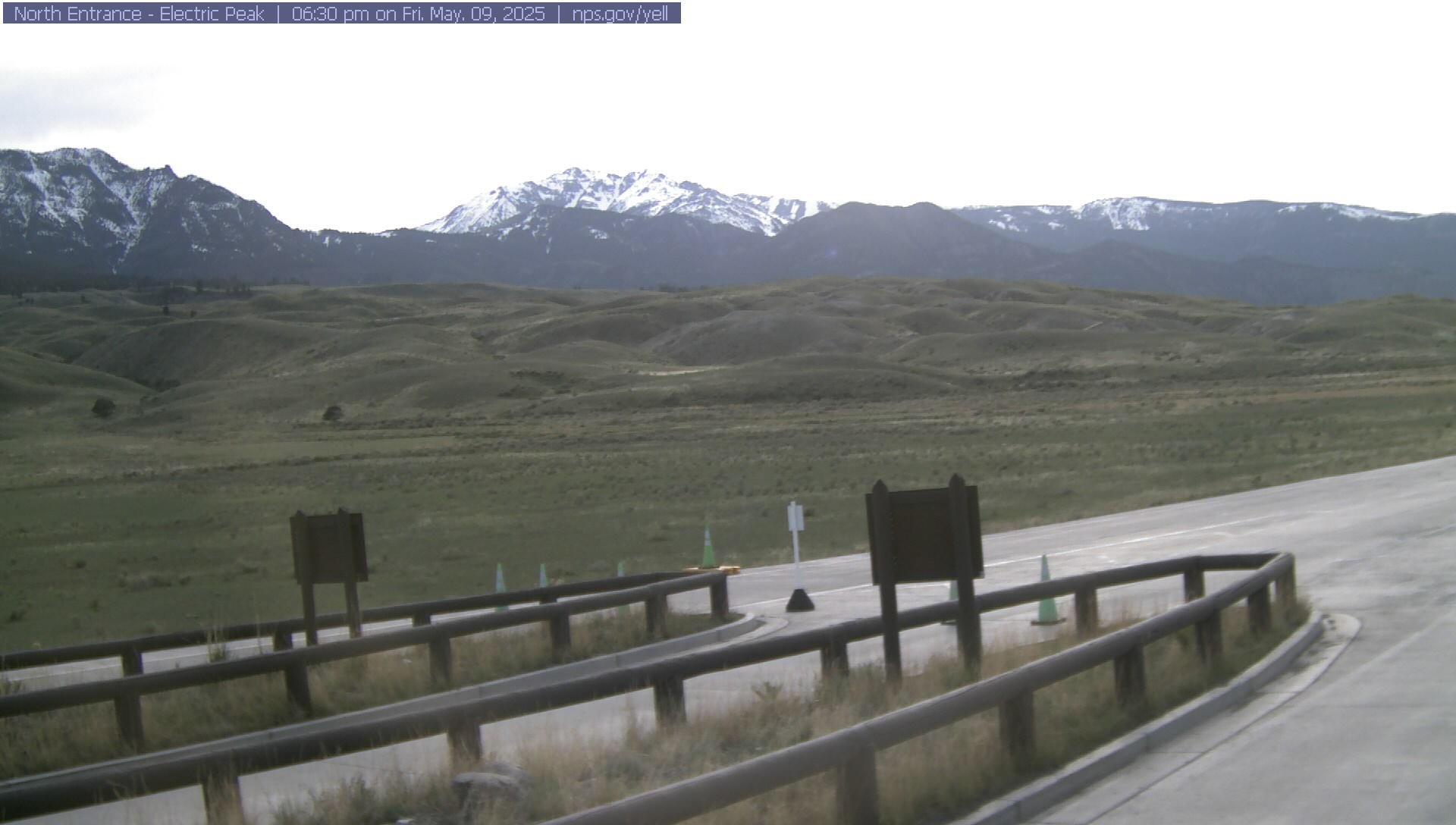
Electric Peak
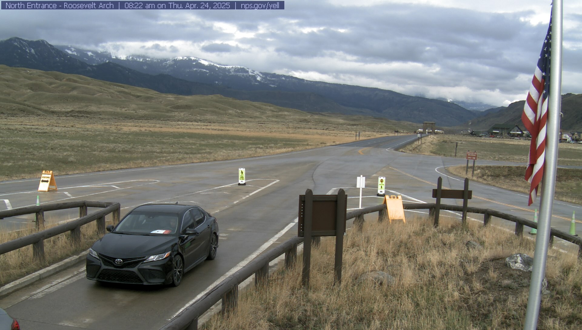
Roosevelt Arch


Weather Stations- Southern Gallatin
Weather Forecast Southern Gallatin
Extended Forecast for17 Miles SE Big Sky MT
Overnight

Low: 17 °F
Mostly Clear
Thursday

High: 40 °F
Mostly Sunny
Thursday Night

Low: 22 °F
Chance Snow
ShowersFriday
High: 43 °F
Mostly Sunny
then Chance
Snow ShowersFriday Night

Low: 24 °F
Partly Cloudy
Saturday
High: 54 °F
Mostly Sunny
then Mostly
Cloudy and
BreezySaturday Night

Low: 37 °F
Chance
Showers and
BreezySunday
High: 52 °F
Chance
Showers then
Showers
Likely and
BreezySunday Night
Low: 31 °F
Rain/Snow
Likely then
Snow Showers
Likely
The Last Word
We began our daily forecasts on December 7. 130 daily forecasts and 464 reported avalanches later, we wrapped up our daily forecasting season on April 14th. While avalanches remain a concern until the snow is in the rivers, read our SEASON SUMMARY to look back at the heart of the 2023-24 avalanche year.