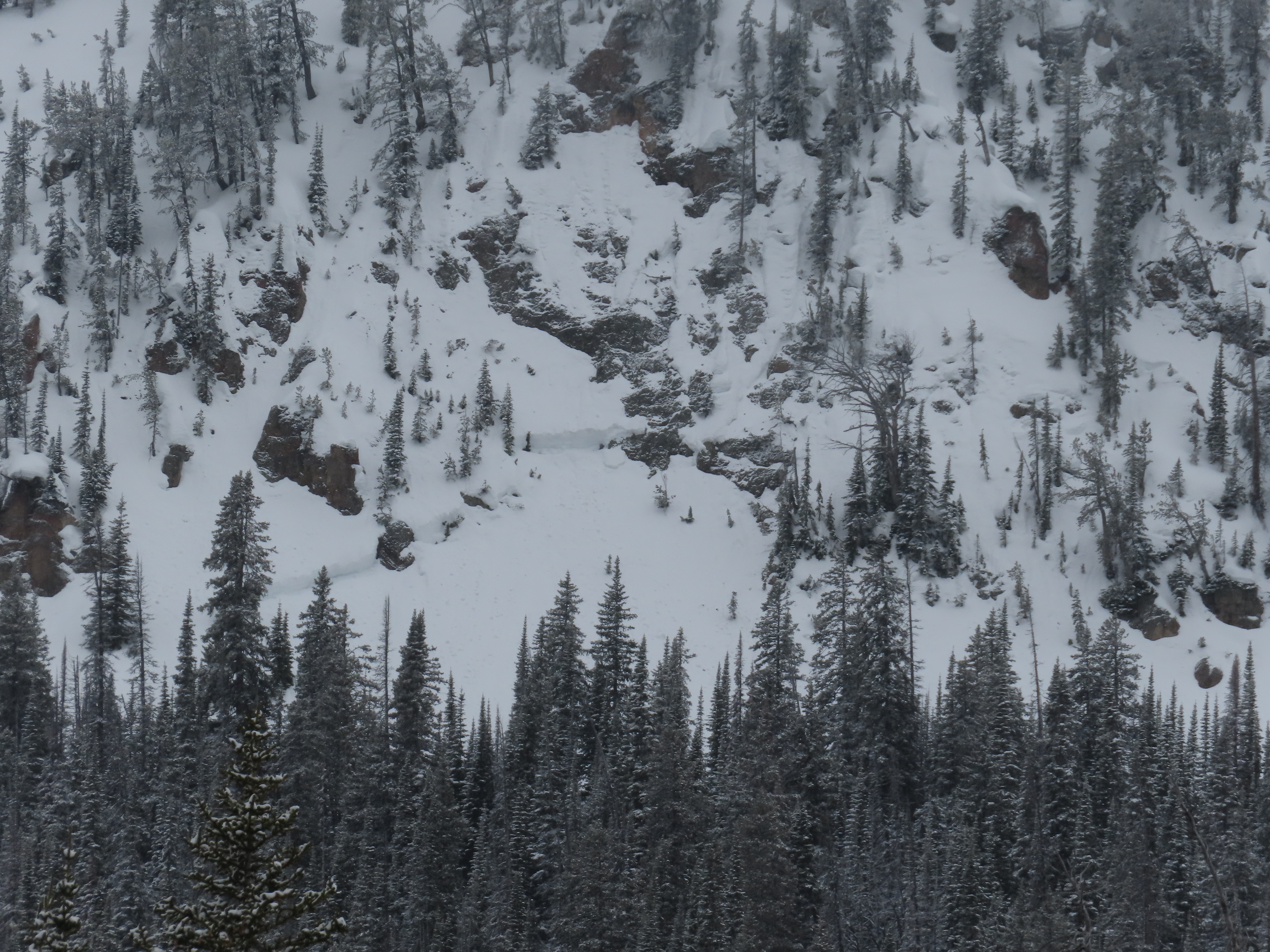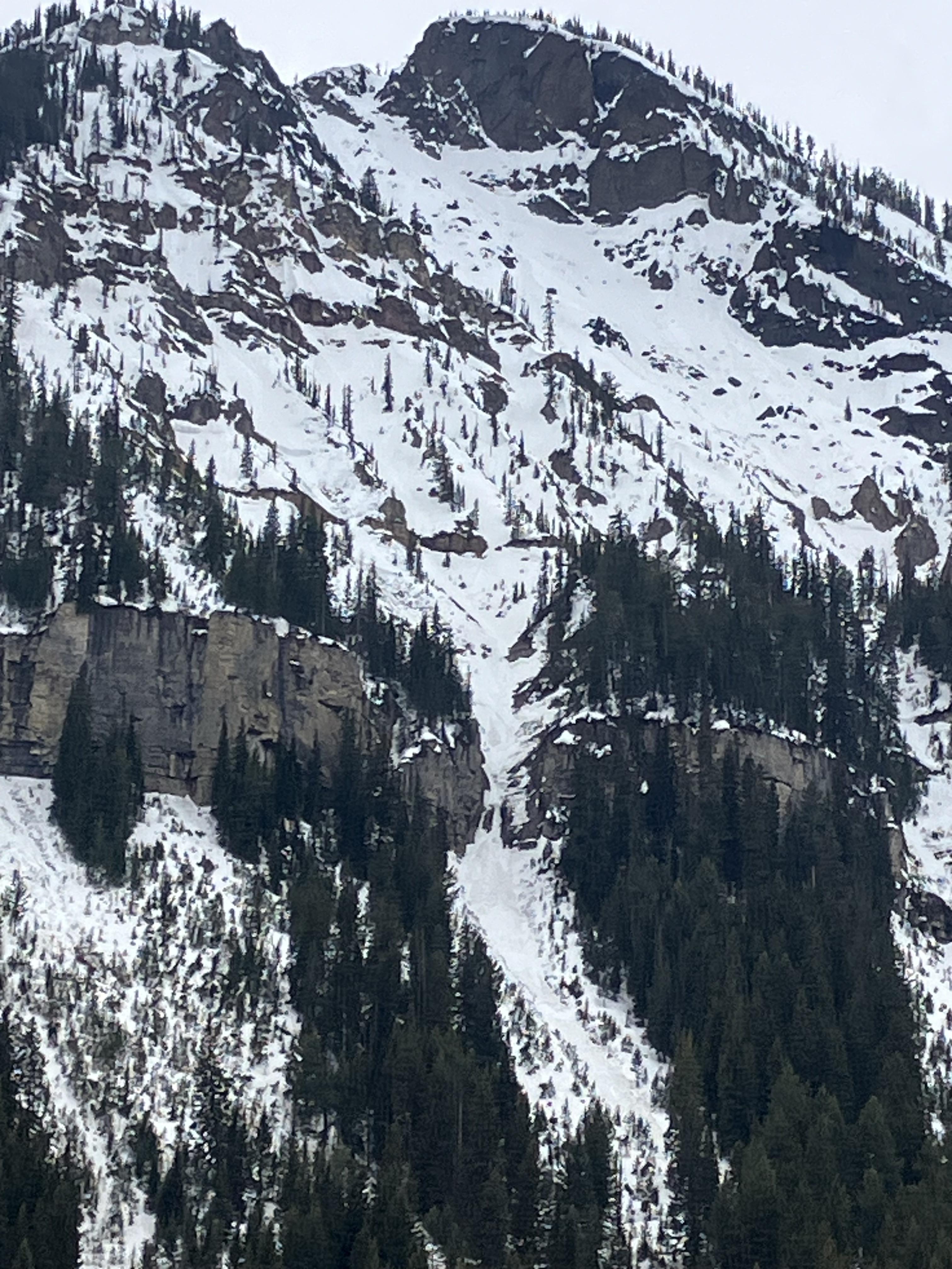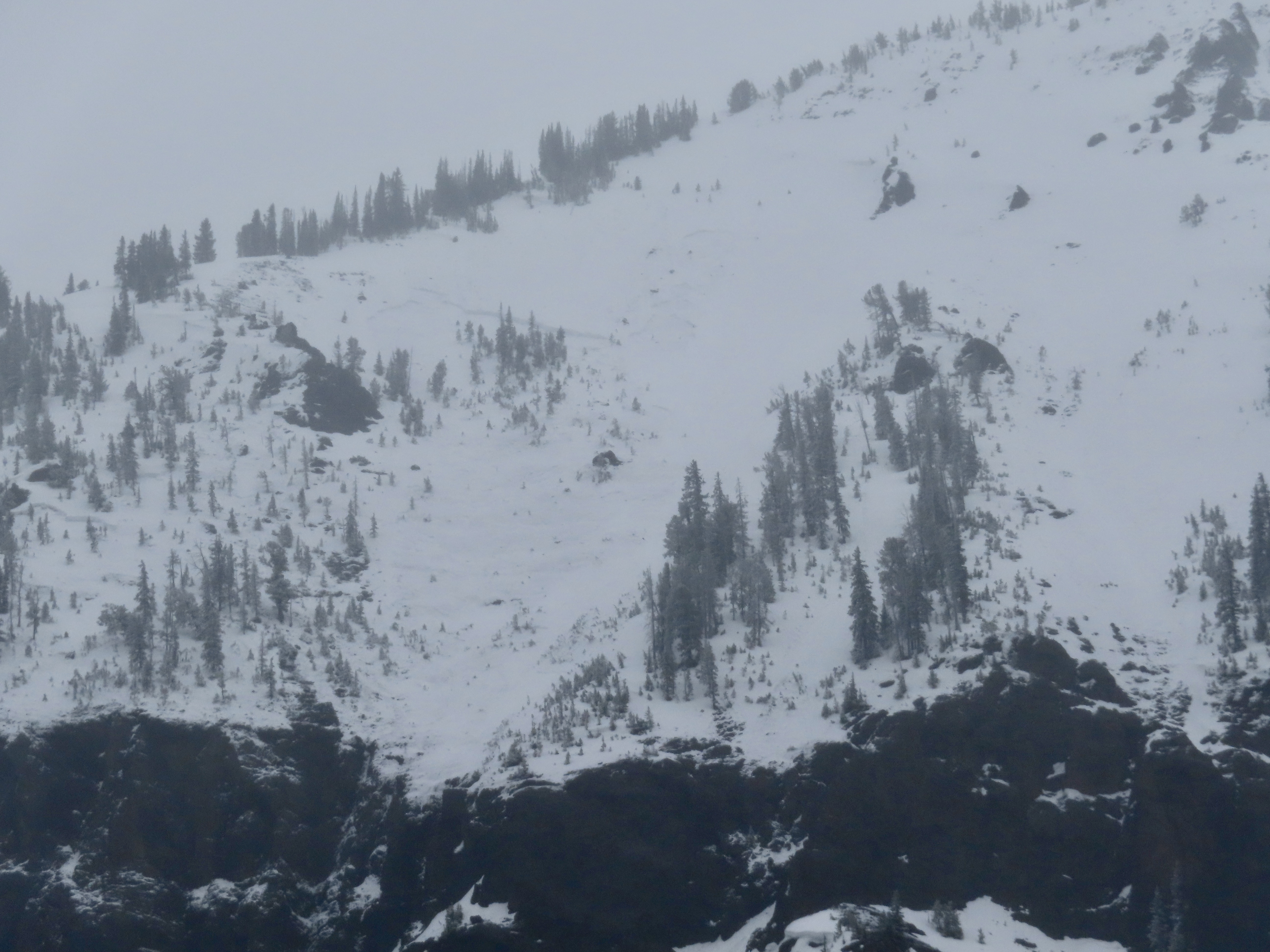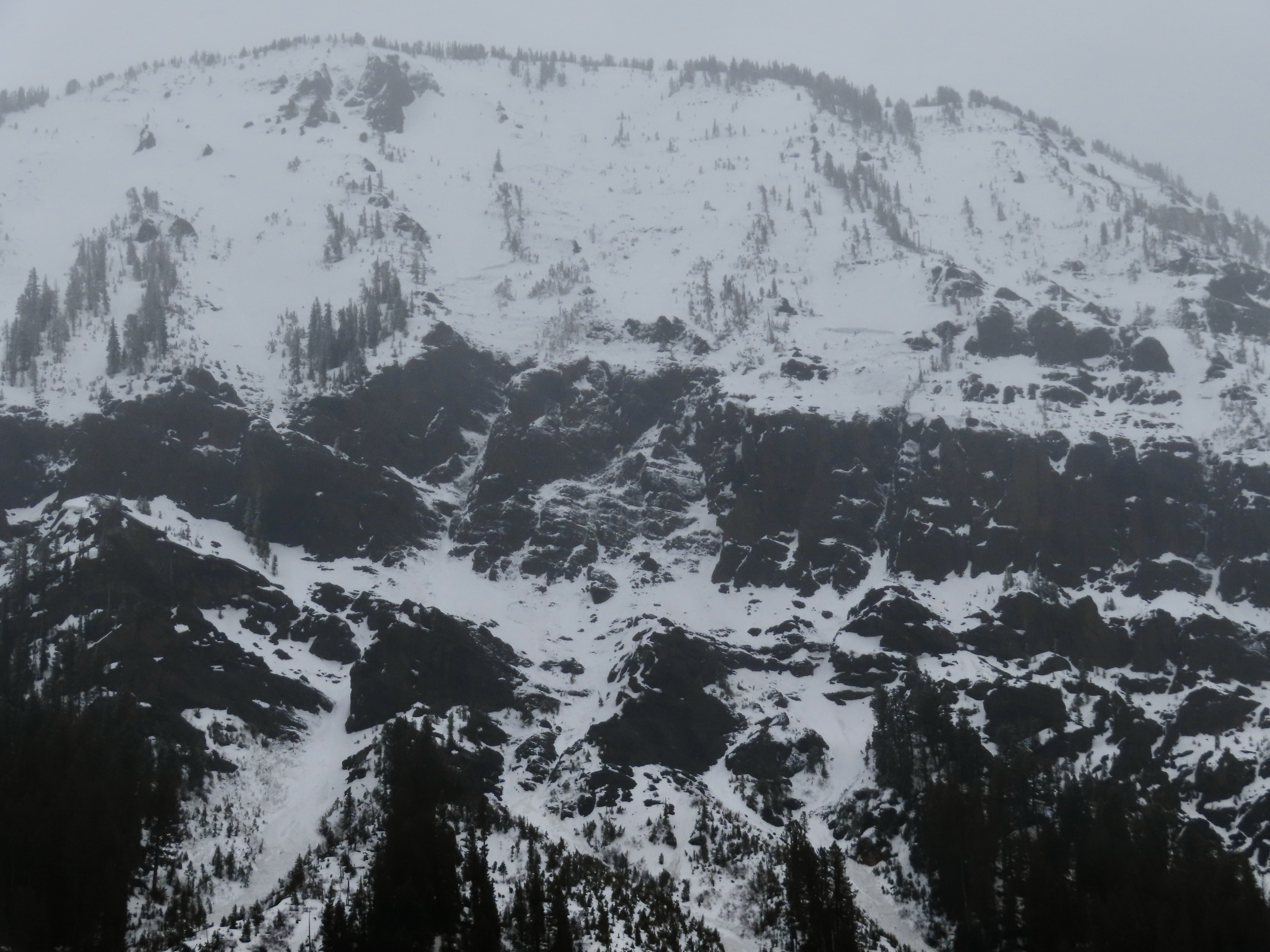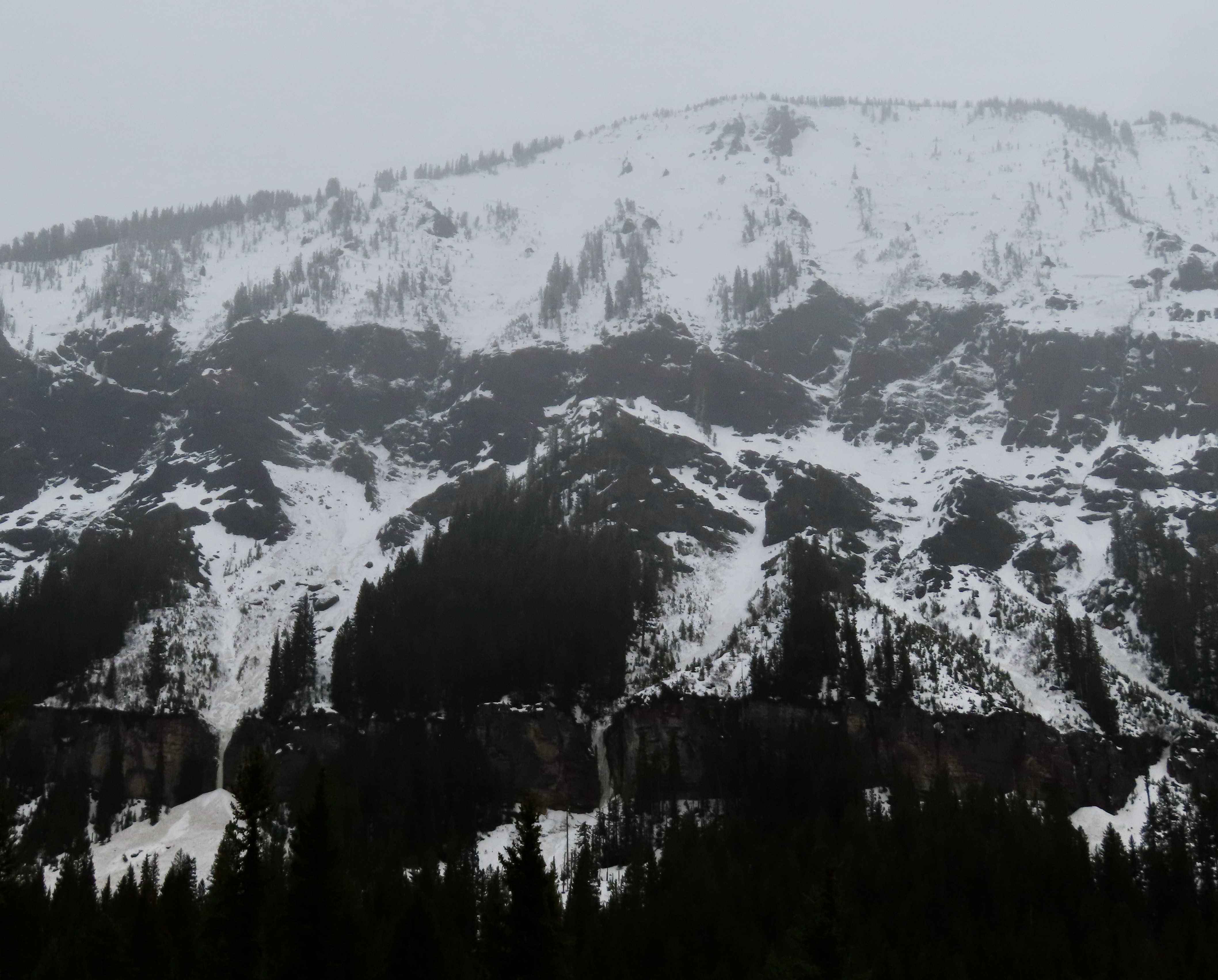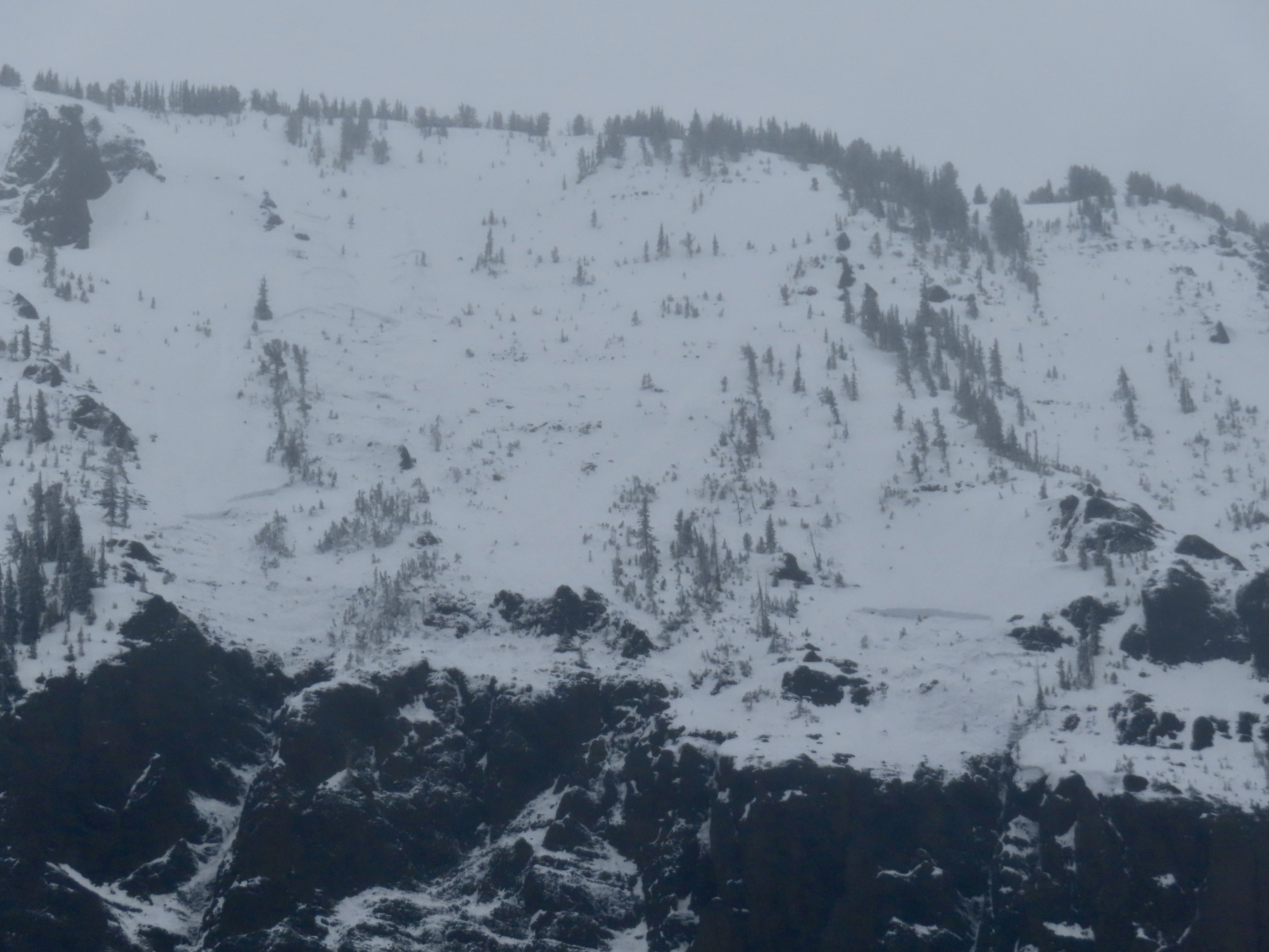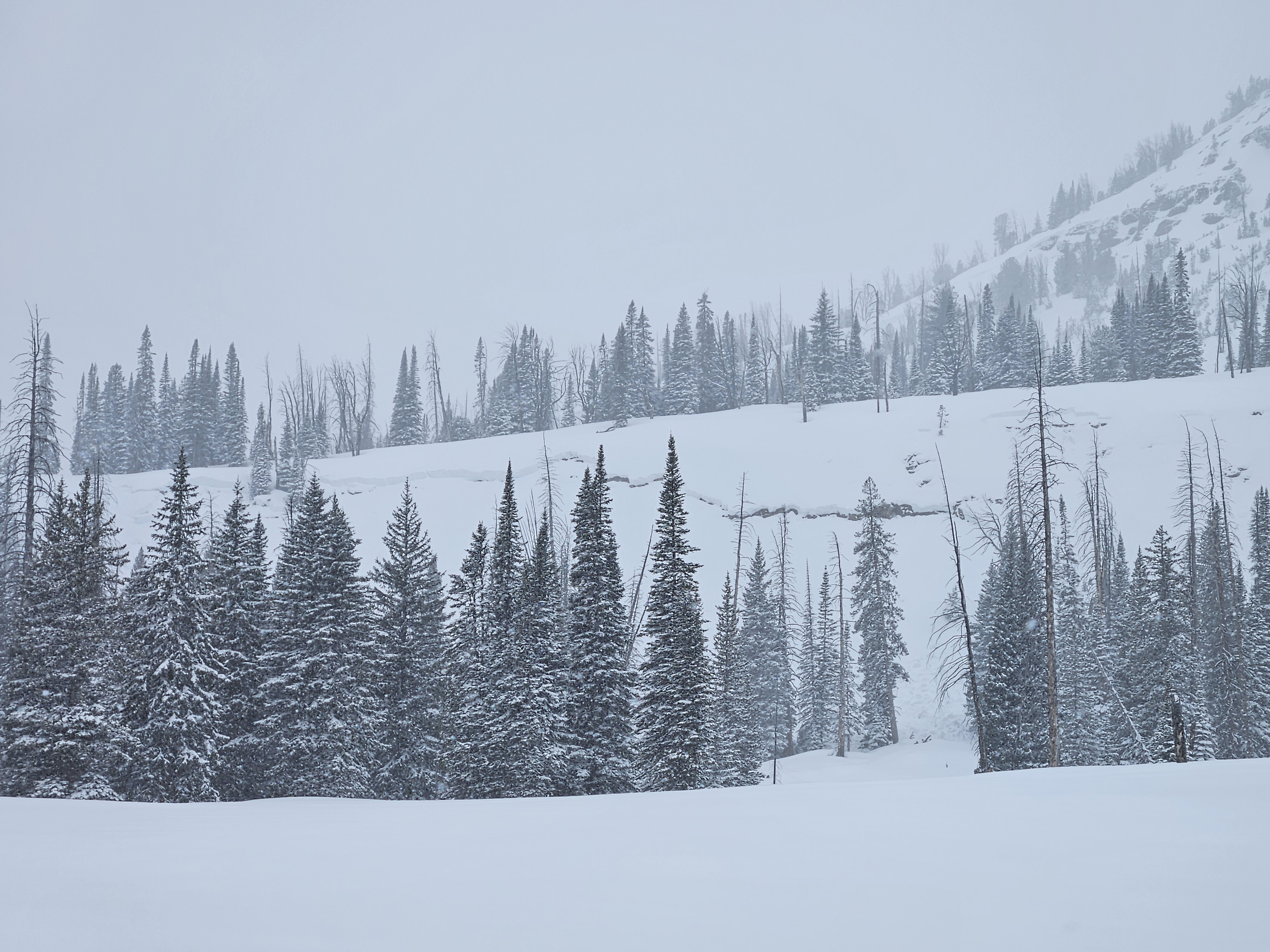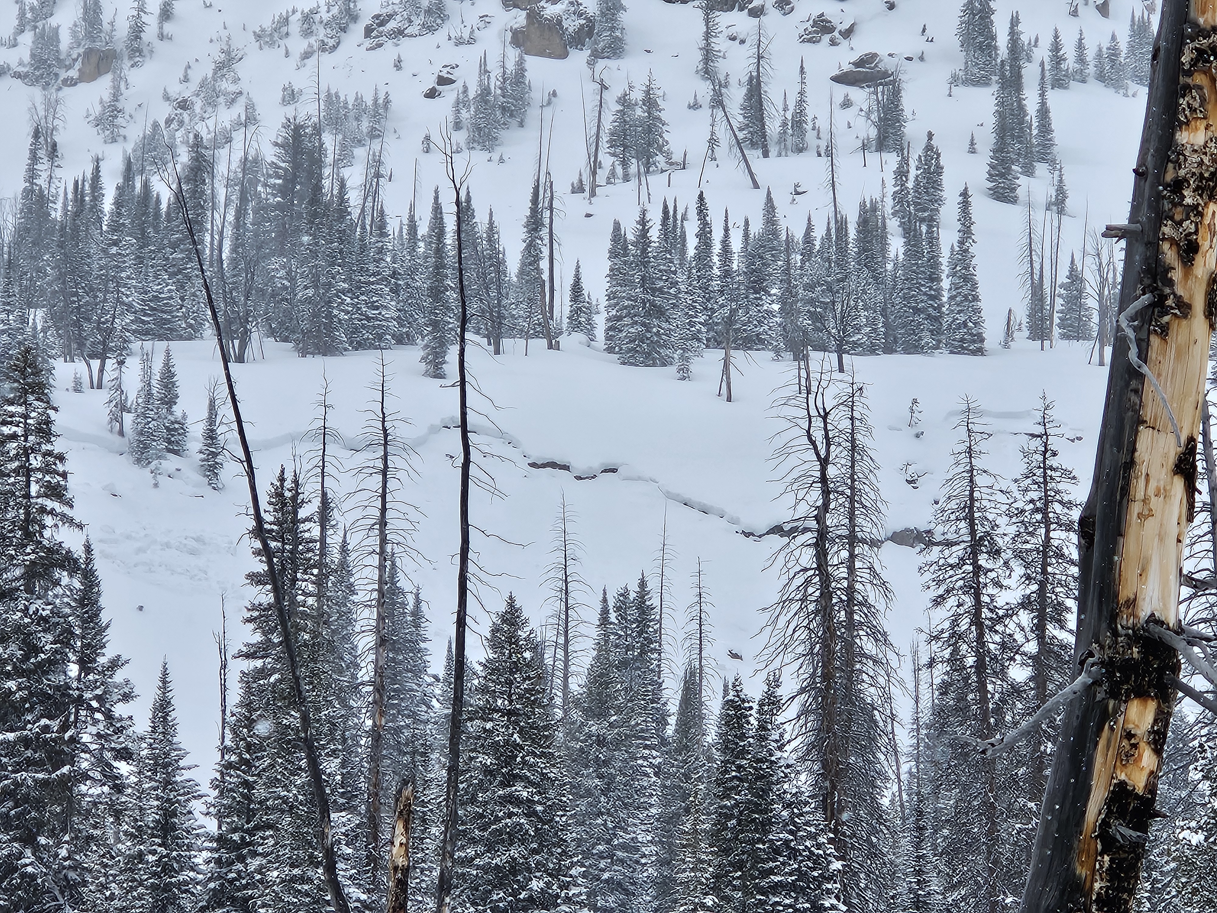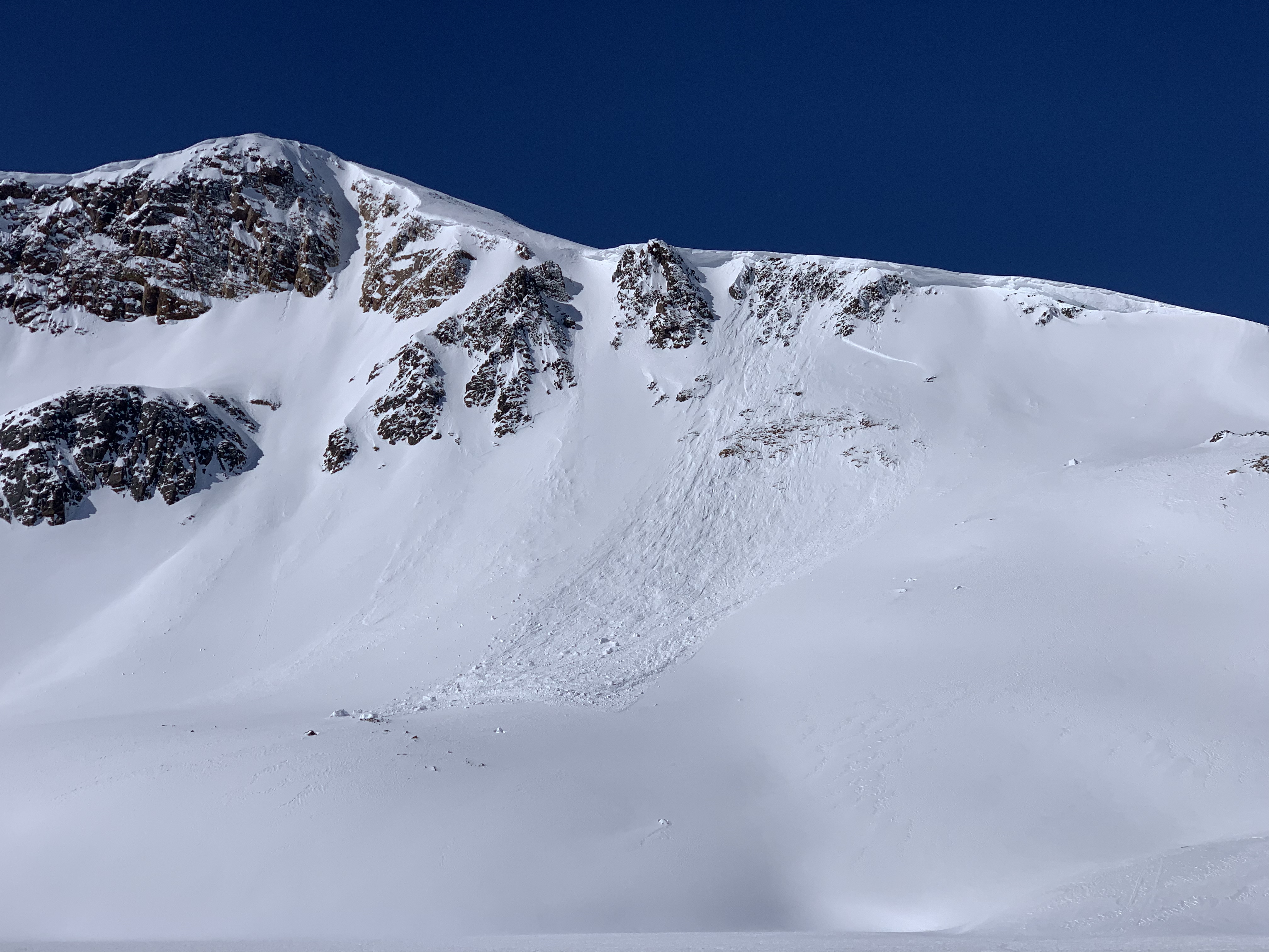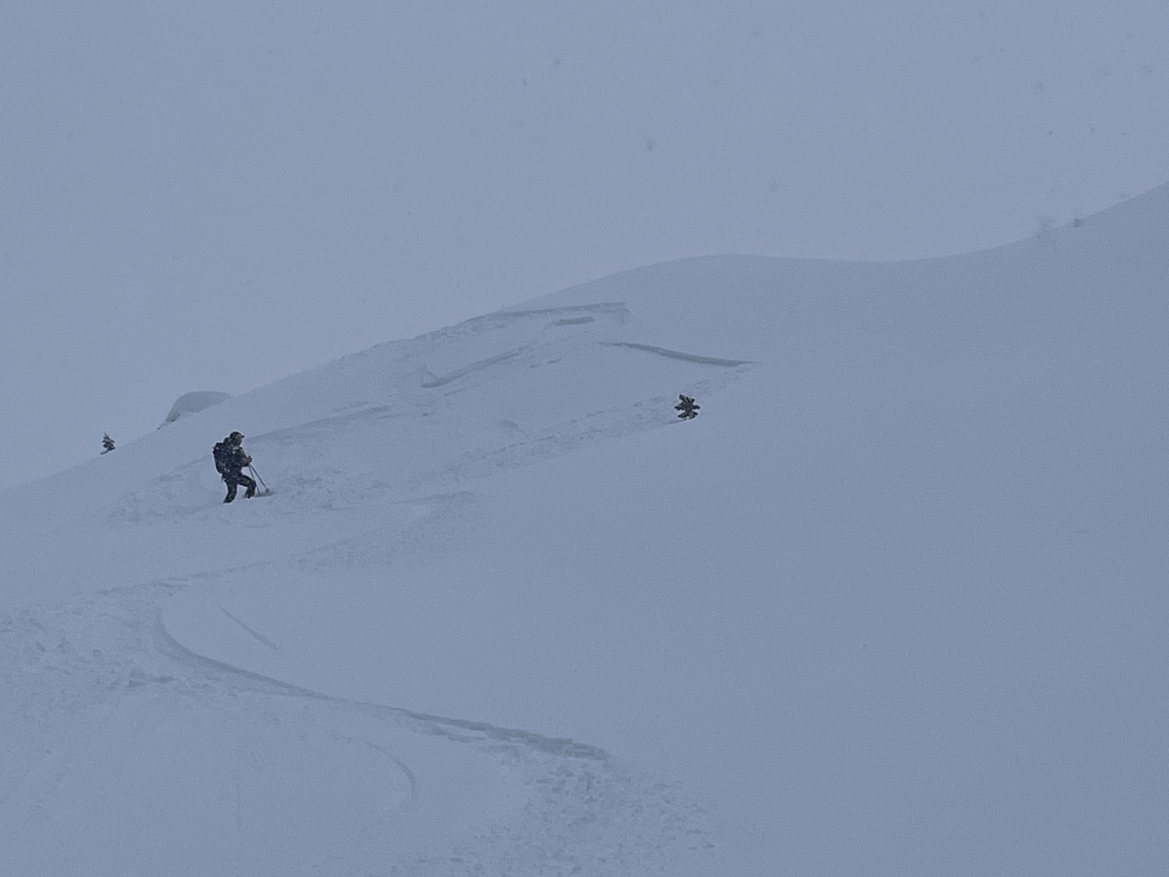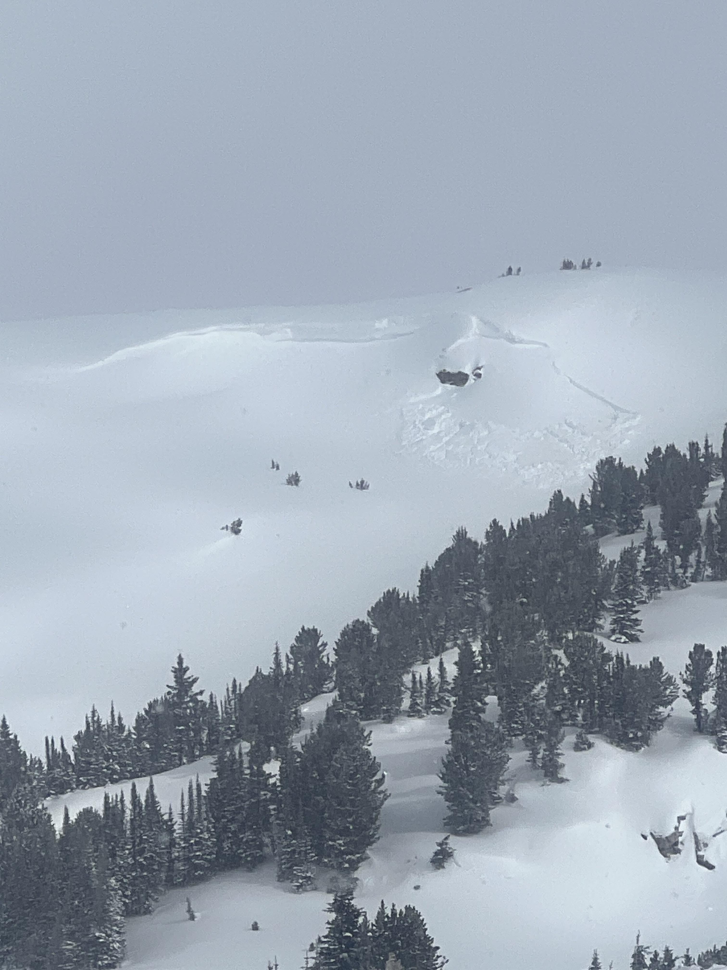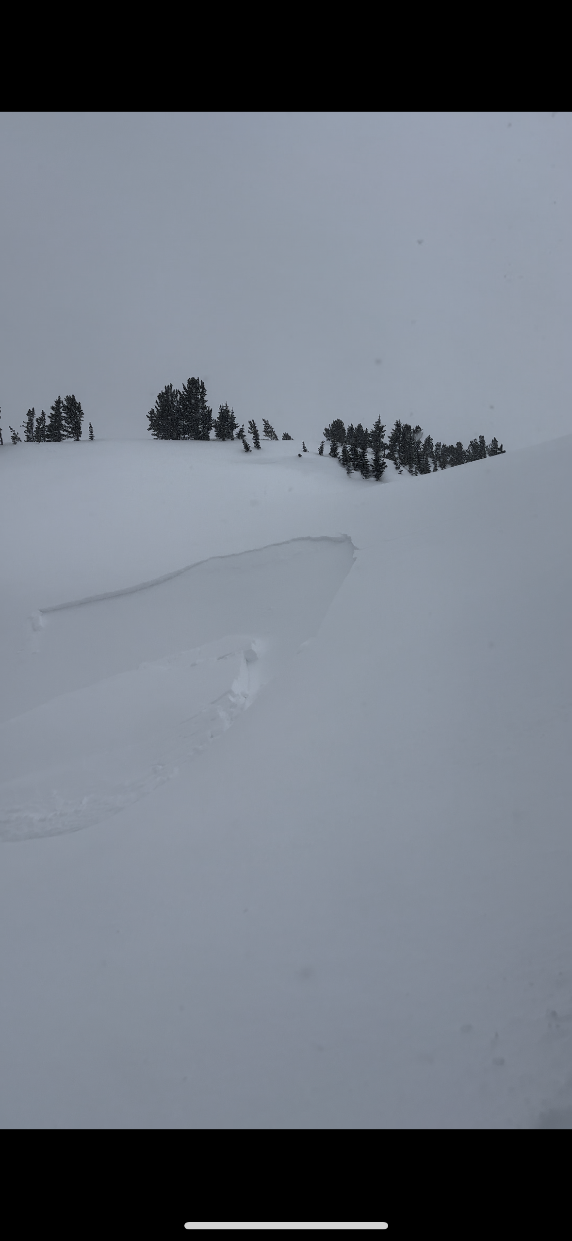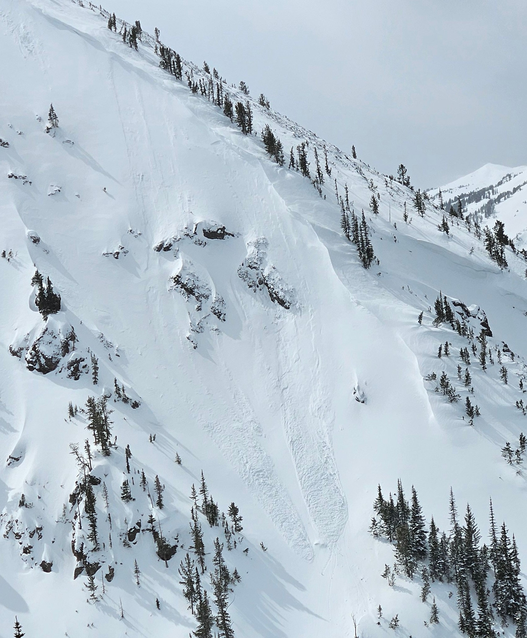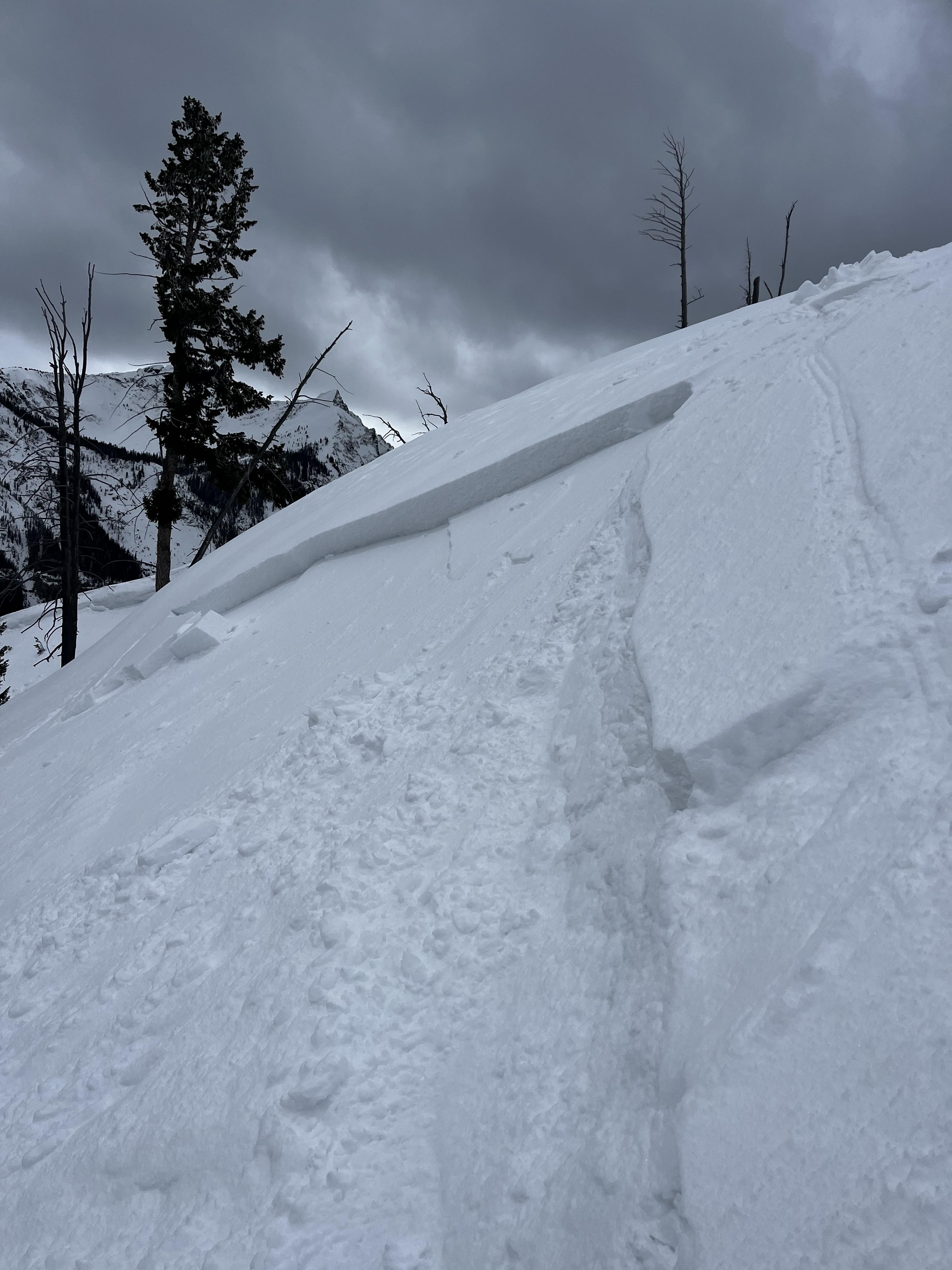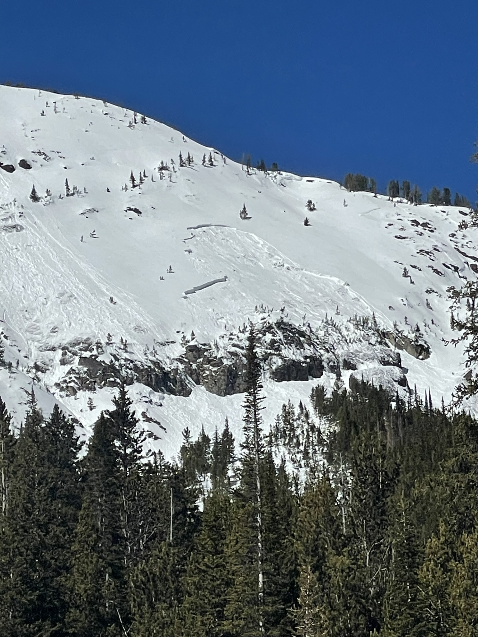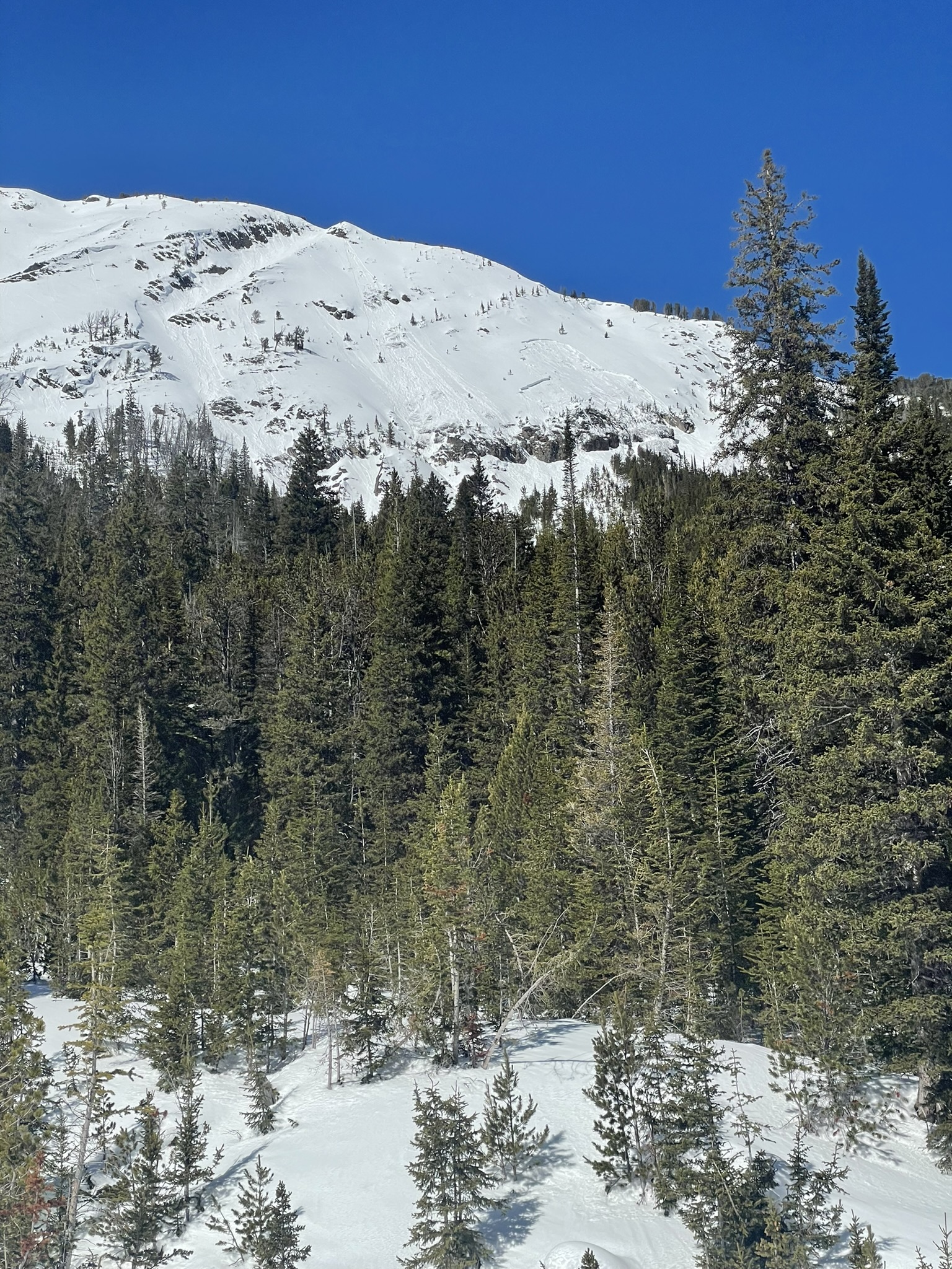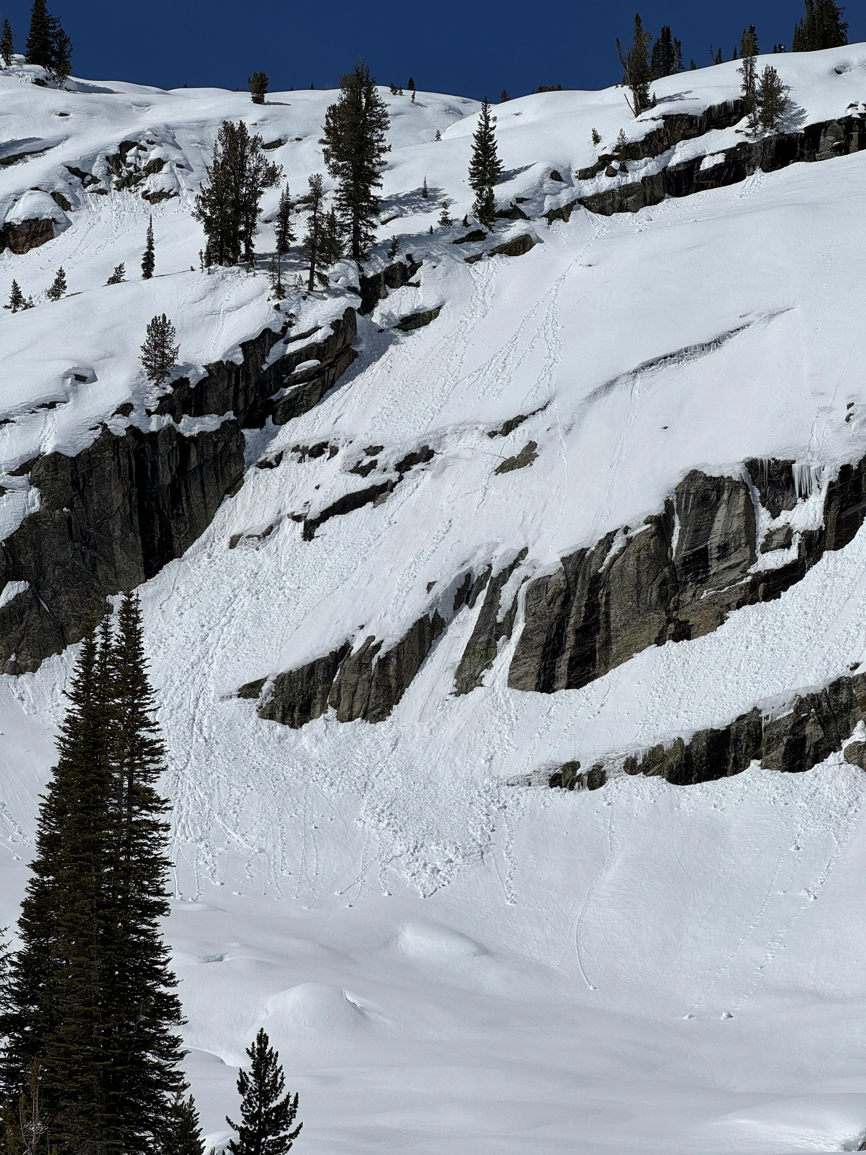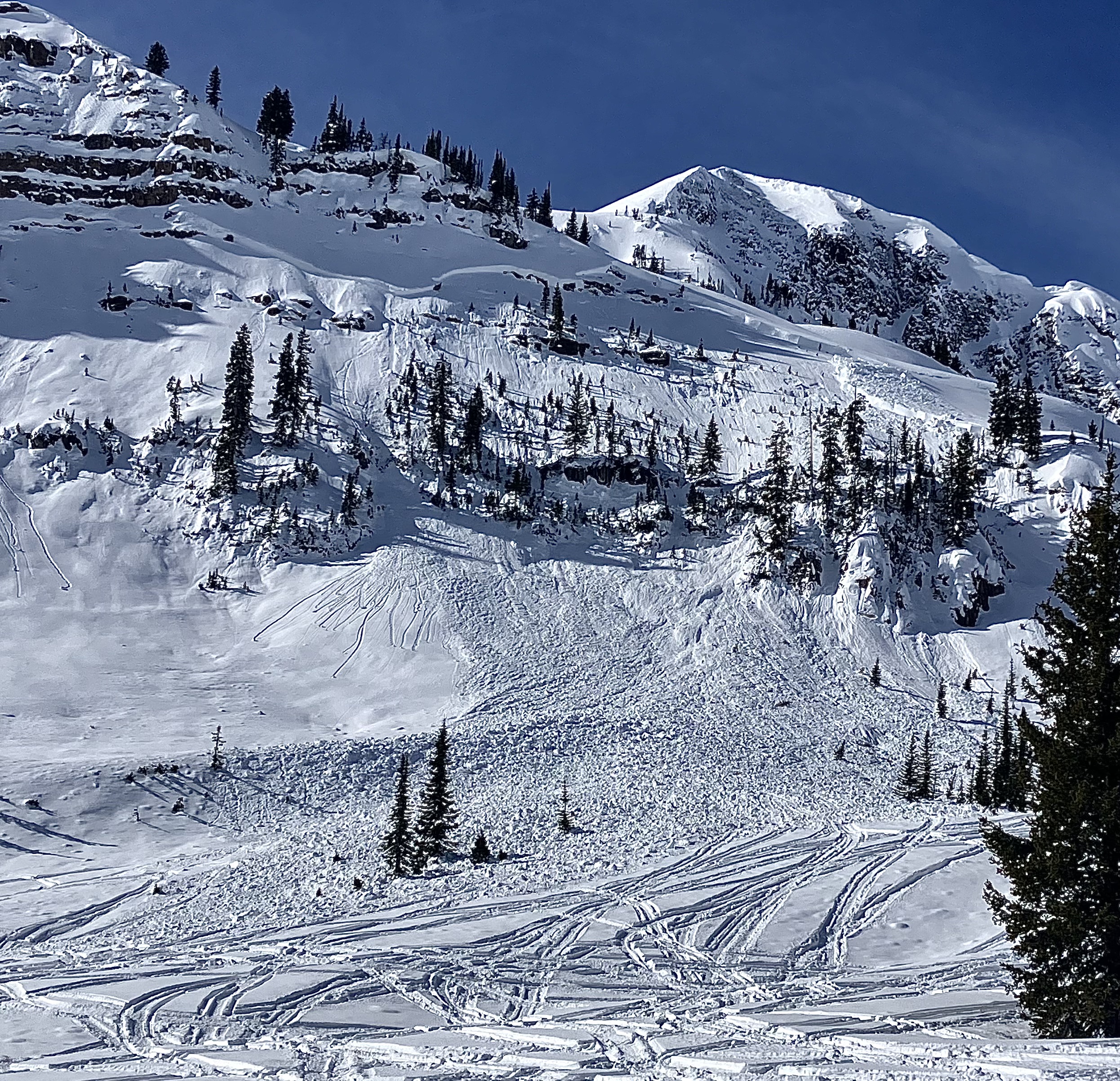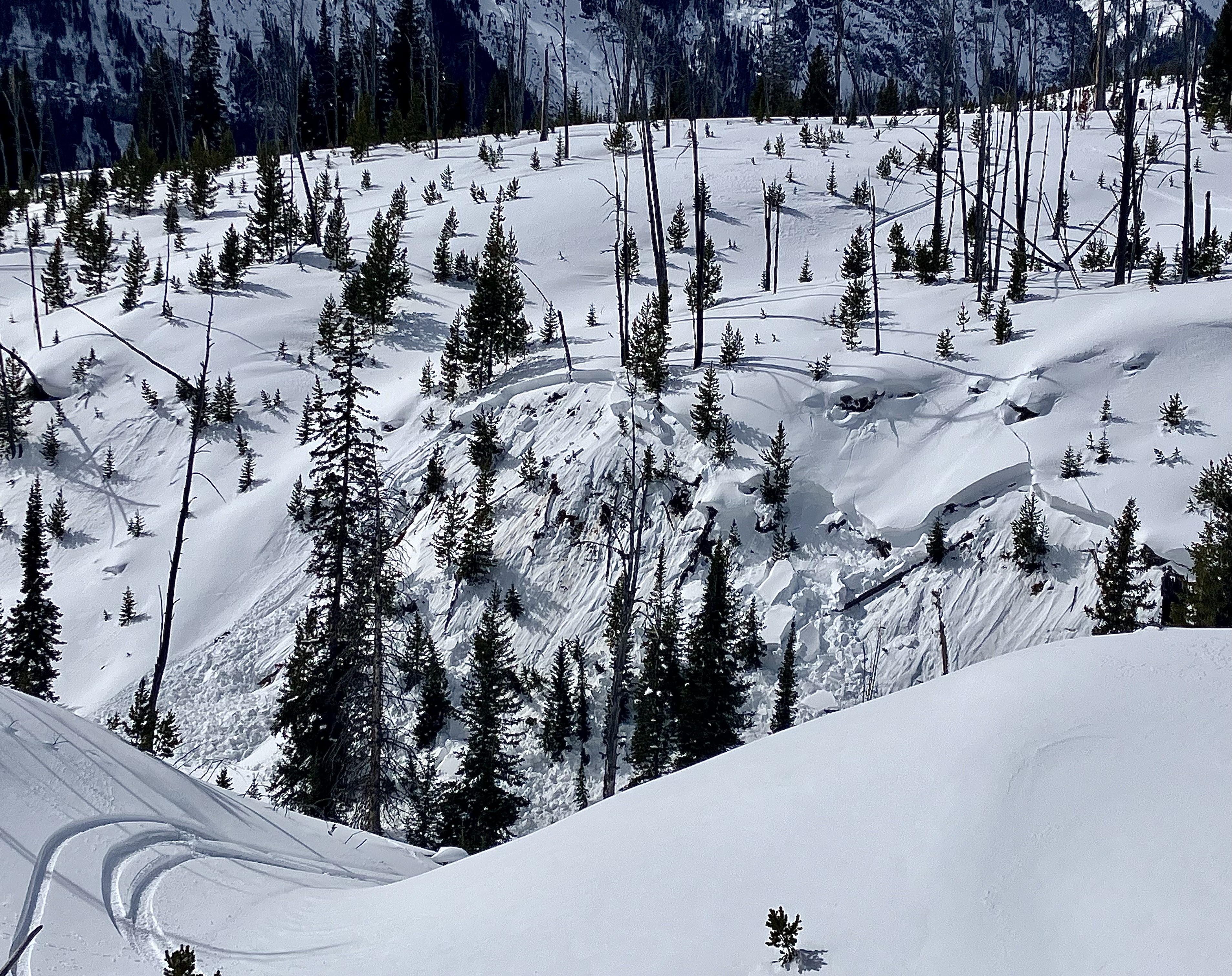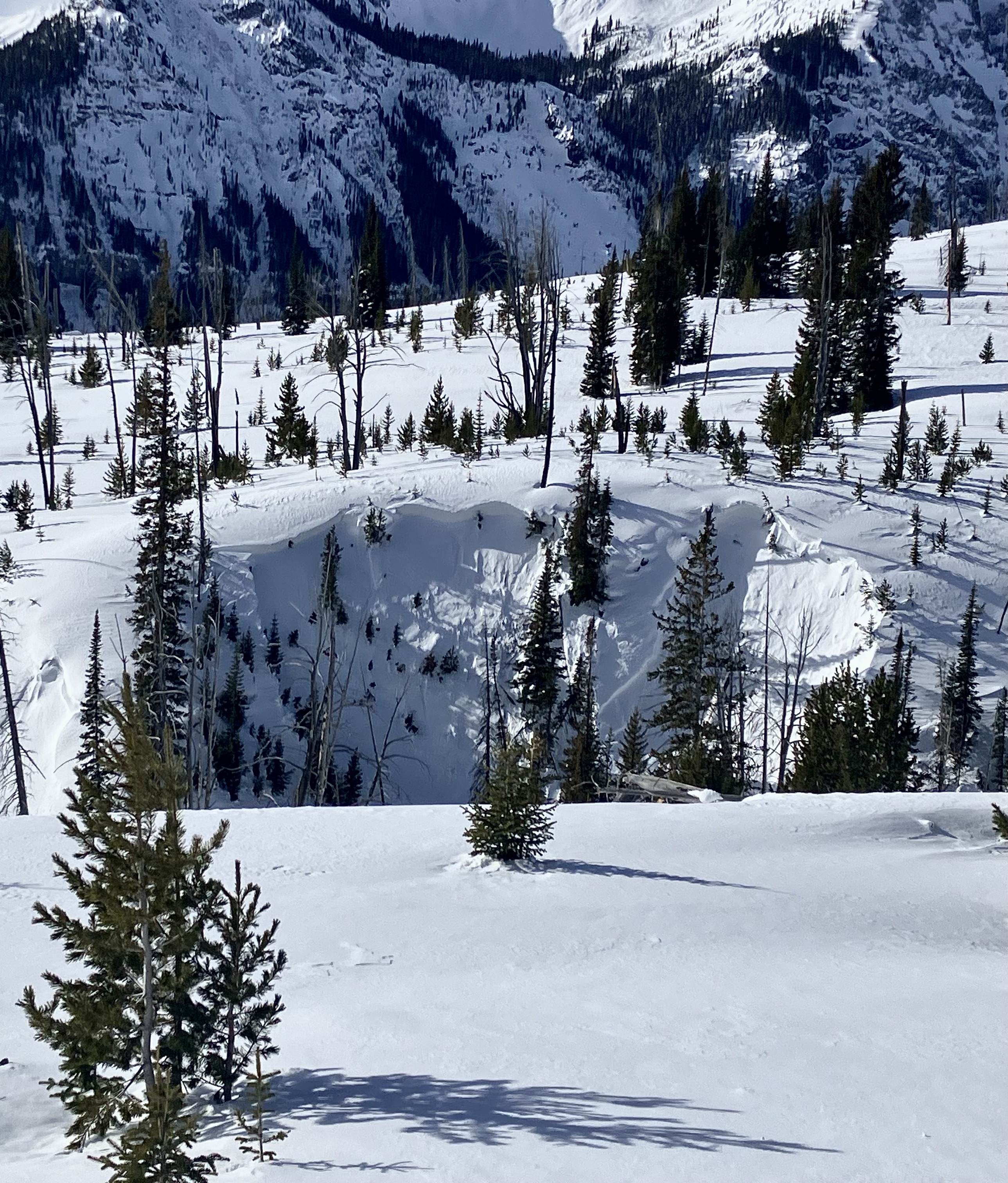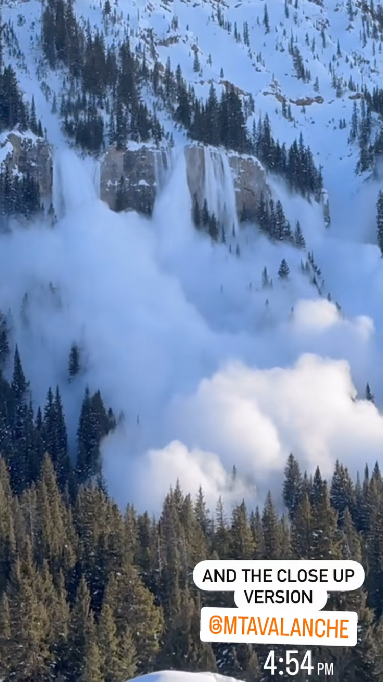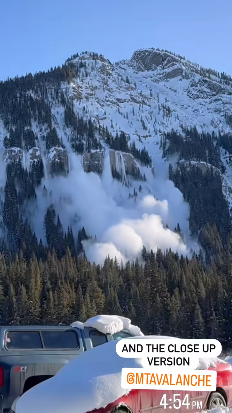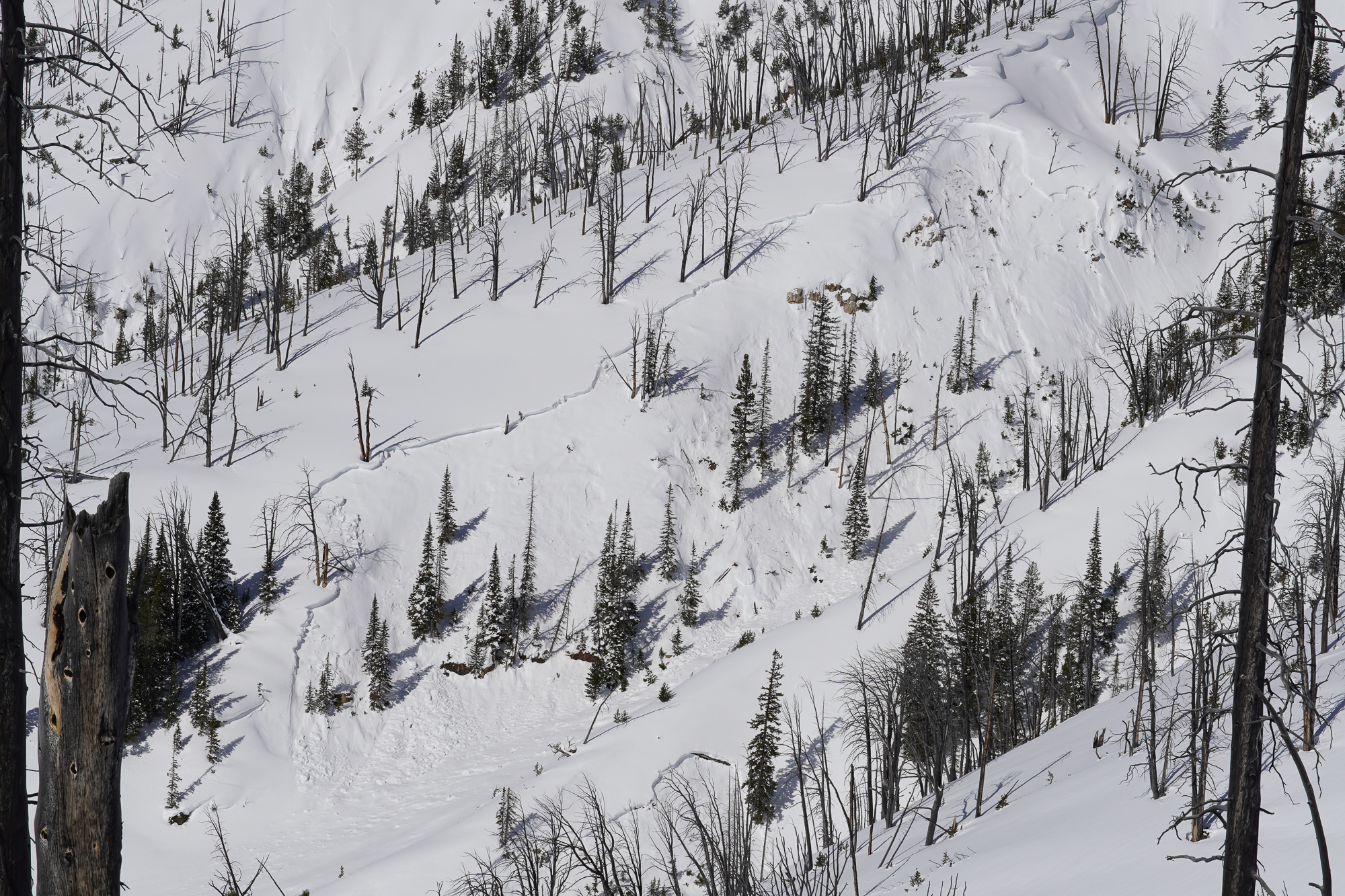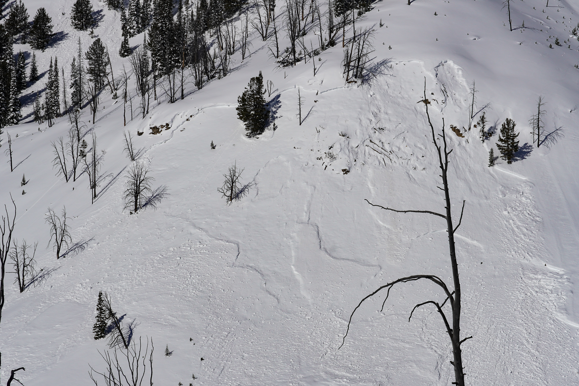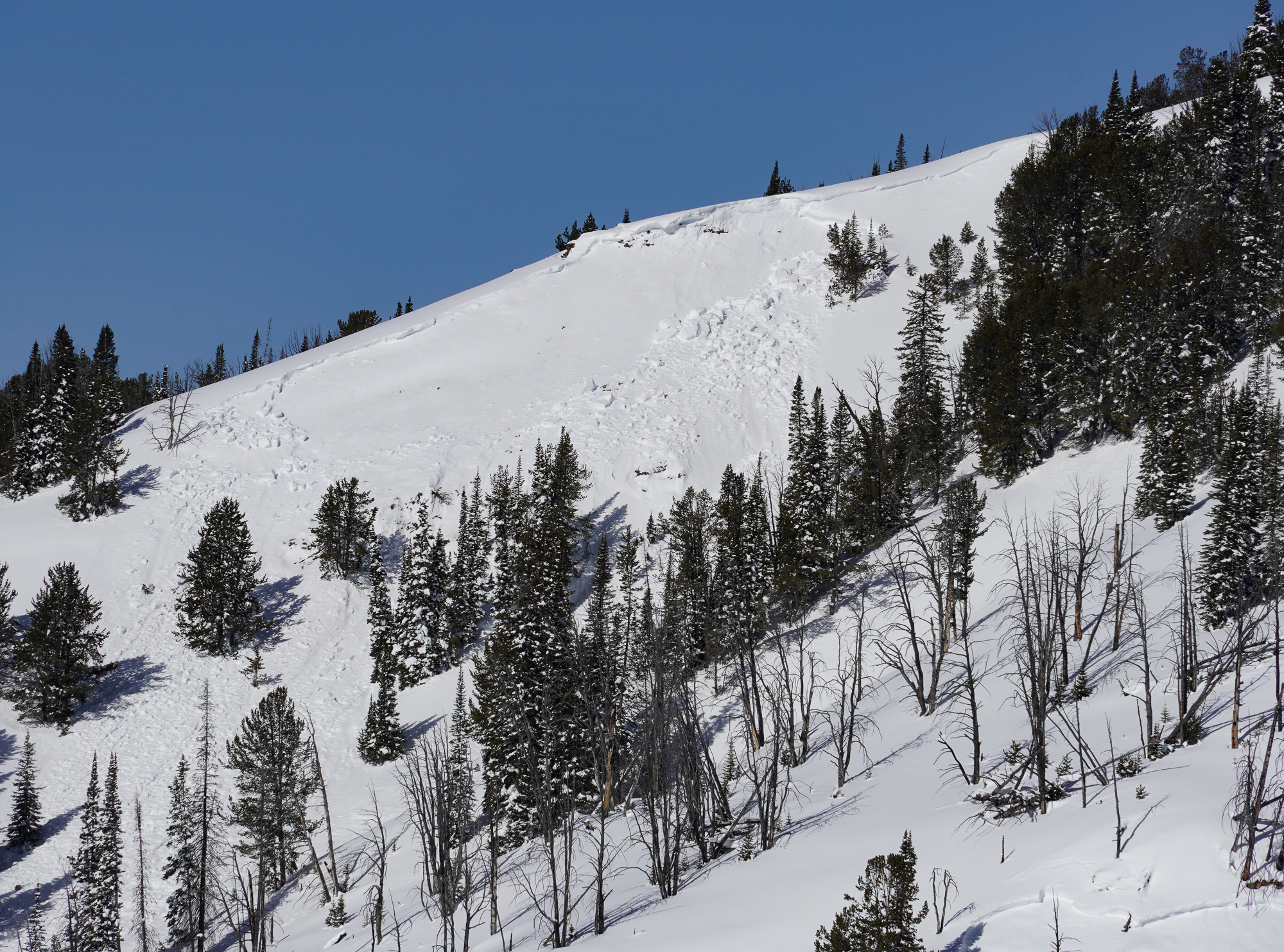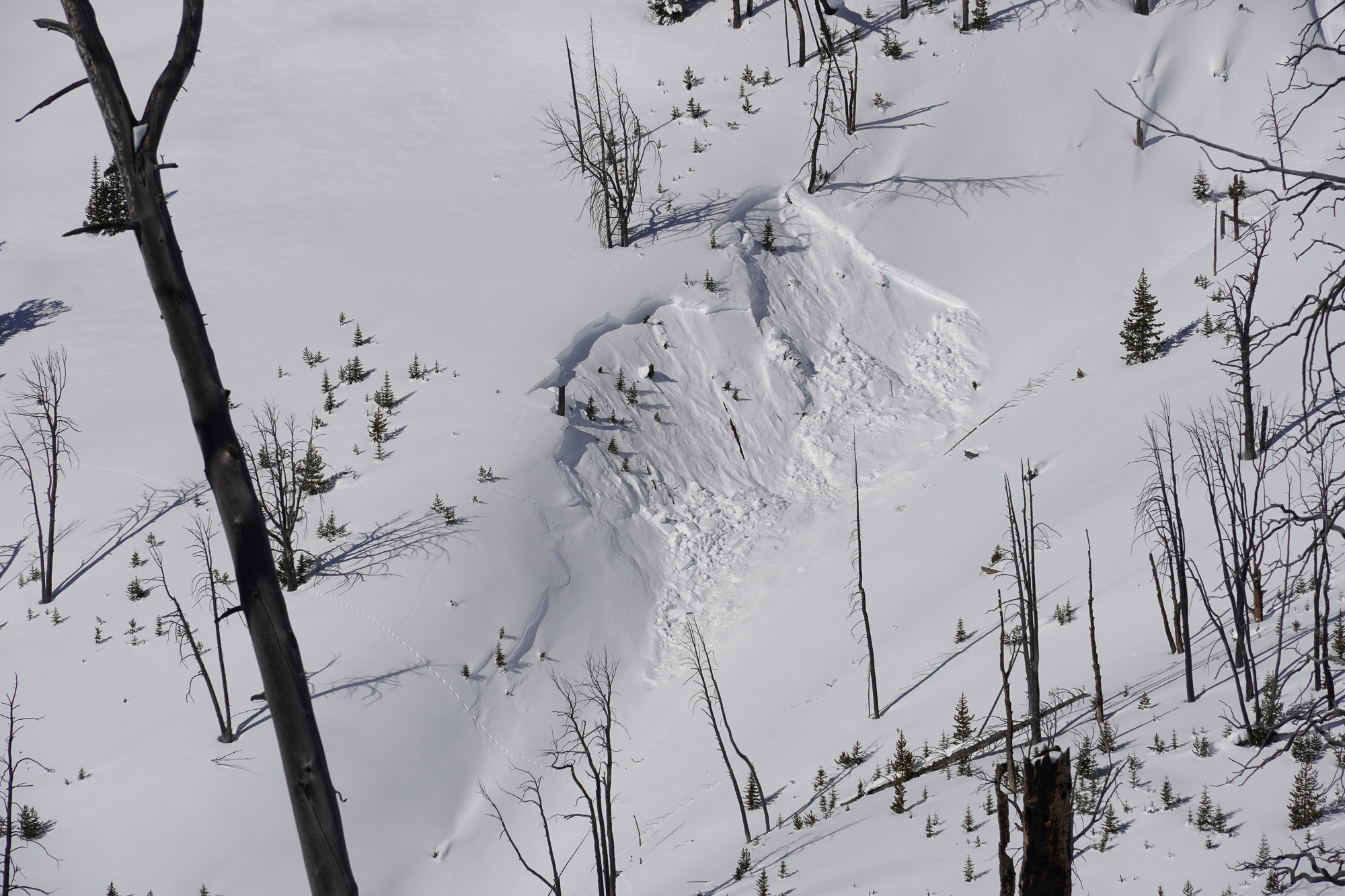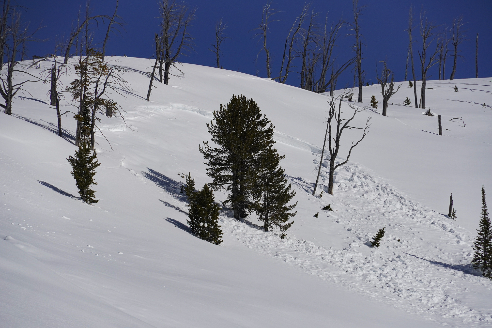

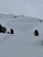
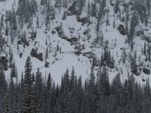
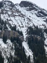
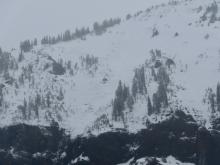
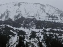
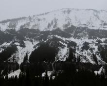
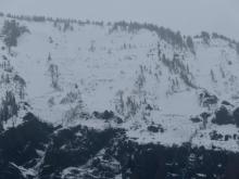
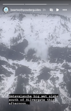
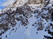
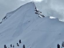
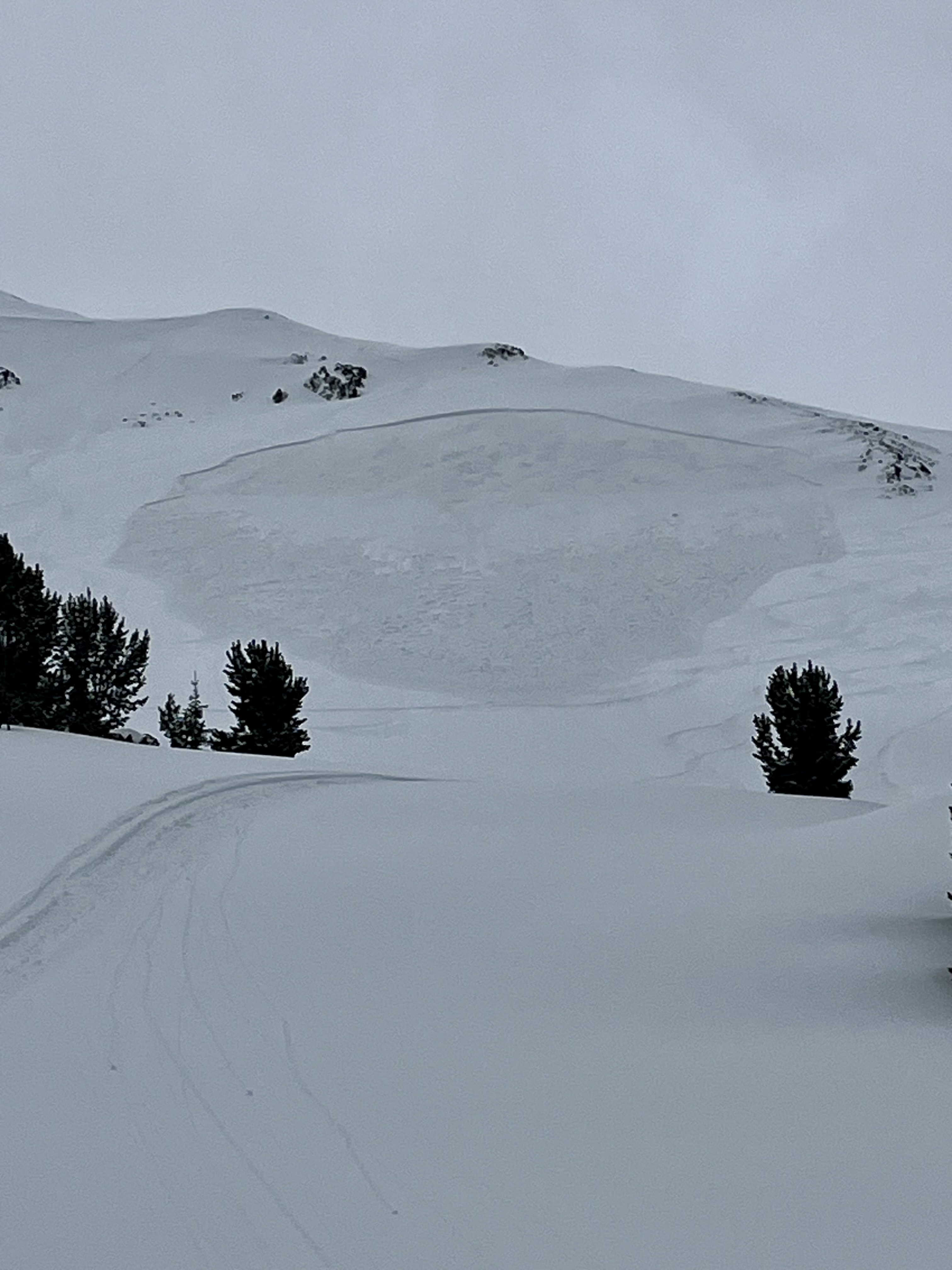
From email 5/1/24: "Hi crew. I triggered a soft slab avalanche on the North side of Sheep Mountain today. D1.5 200’ wide ran 200’. Crown was 6-12’’ deep. I was able to ride out of it and anchor in a safe spot.
It broke on our 7th lap and we had seen no signs of instability prior to the avalanche but wind loading was occurring and obvious. The avalanche broke and on a dirty crust that formed during a rain event last week."