Photos

|
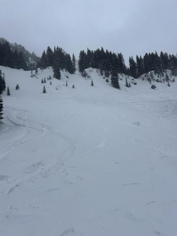
Lionhead Range, 2025-03-18 Cornice collapse and small avalanche at the start of Lionhead Ridge. Photo: GNFAC Link to Avalanche Details |
|
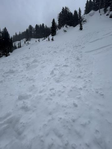
Northern Gallatin, 2025-03-18 This small wind slab avalanche failed on Mt Blackmore on Sunday. Photo: C Rendeiro Link to Avalanche Details |
|
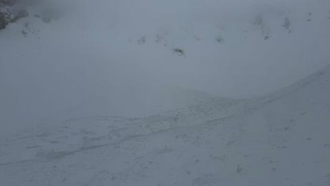
Northern Gallatin, 2025-03-18 Debris pile from a small wind slab avalanche on Mt Blackmore. Photo: C Rendeiro Link to Avalanche Details |
|
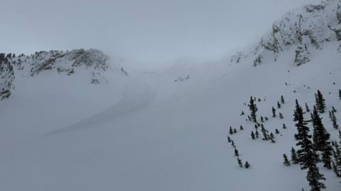
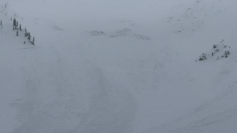
Bridger Range, 2025-03-18 Nature or cornice triggered slides in Arrowhead and Hardscrabble Bowls. Photo: I Freeland Link to Avalanche Details |
|
Bridger Range, 2025-03-18 Nature or cornice triggered slides in Arrowhead and Hardscrabble Bowls. Photo: I Freeland Link to Avalanche Details |
|
Bridger Range, 2025-03-18 Nature or cornice triggered slides in Arrowhead and Hardscrabble Bowls. Photo: I Freeland Link to Avalanche Details |

|
Southern Madison, 2025-03-16 We rode into Tepee Basin and to the north wilderness boundary. There was 1.5-2 feet of new snow that fell since Thursday. We dug (3) snowpits on northeast, north and southeast slopes, between 8800'-9200'. The pits on northerly slopes had ECTP 17 and 22 on a thin weak layer below the new snow. We also had ECTP 6 within the storm snow. Photo: GNFAC |
|
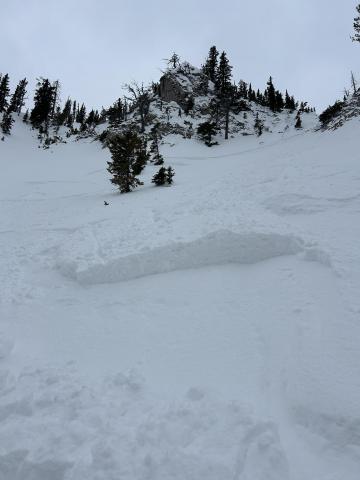
Bridger Range, 2025-03-16 Isolated wind slabs today in the southern Bridgers. Photo: E. Selinger Link to Avalanche Details |
|
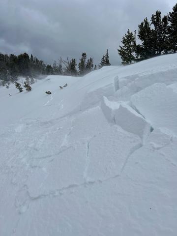
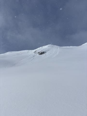
Northern Madison, 2025-03-16 We triggered two small and shallow wind slabs that didn't go anywhere, but they were a warning of bigger wind slabs on bigger slopes Link to Avalanche Details |
|
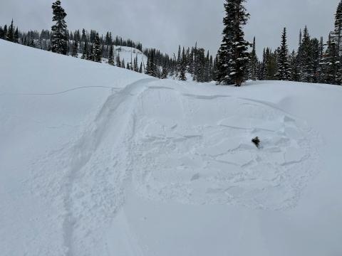
Northern Madison, 2025-03-16 We triggerd two small and shallow wind slabs that didn't go anywhere but were a warning of what you could find on bigger slopes. Link to Avalanche Details |
|
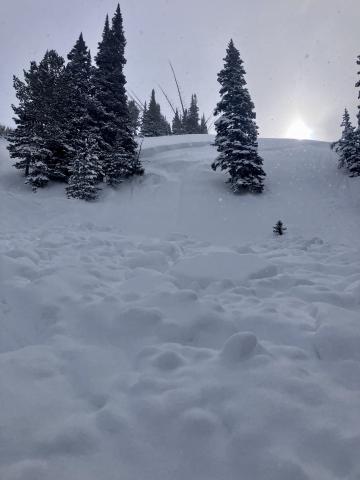
Cooke City, 2025-03-16 "Today I triggered a D1 dry loose avalanche on a E facing 35 degree slope, 9300 ft on Mt Henderson. The new snow is very low density and is not bonding well to the old interface. I also observed some more dry loose activity/small wind slabs on Sheep Mt, NE facing, 10400 ft." |
|
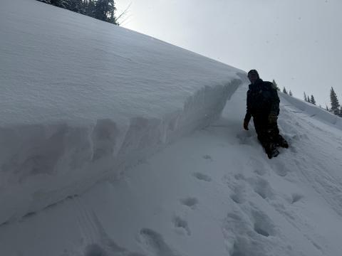
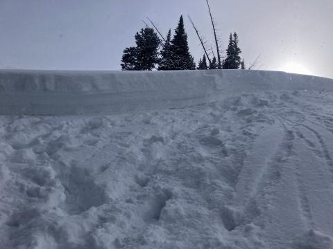
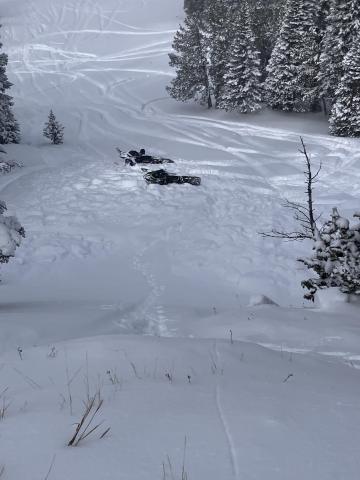
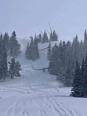
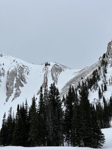
Southern Madison, 2025-03-16 On March 15 We looked at the avalanche in Sunlight Basin/Taylor Fork that was triggered by a snowmobiler yesterday (Mar 14). It was 50' wide, 100' vertical, 2-3' deep hard slab with 8-9" new snow on top. Broke on weak facets buried in late January. Dirt layer from Feb 4 was visible 6-8" above weak layer. Bed surface was 3" to 1.5' deep of weak, sugary facets. Slope angle was 38-40+ degrees. 8800', WNW aspect. Photo: GNFAC Link to Avalanche Details |
|
Bridger Range, 2025-03-15 Mar 15 Winds in the Frazier Basin zone were stronger than expected with moderate to strong gusts at the ridge, increasing through the day. We noticed two large windslab pockets that had released since yesterday’s snow. One at the base of Hardscrabble Peak on a N aspect, the other in one of the SE facing gullies that access the Peak 9299/Hollywood Headwall ridge (see photo). Link to Avalanche Details |
|
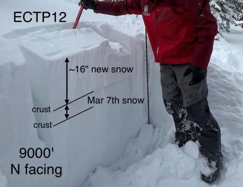
Island Park, 2025-03-15 Stability tests continually fractured on old, broken snowflakes just under a crust under the new snow about 16" deep |
|
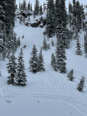
Island Park, 2025-03-15 Small natural storm slab Link to Avalanche Details |
|
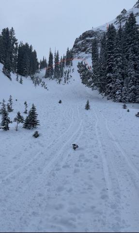
Island Park, 2025-03-15 This avalanche started on a slope above the rocks where there was more wind and then triggered another storm slab in the trees. It created a significant debris pile. Link to Avalanche Details |
