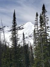
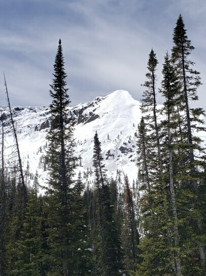
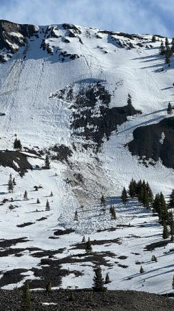
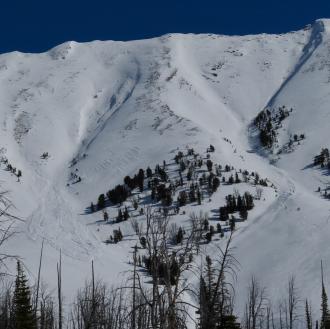
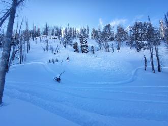
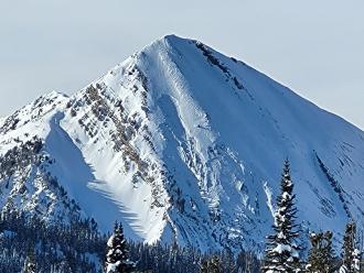
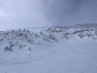
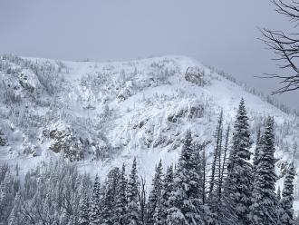
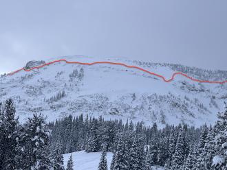
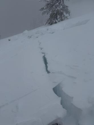
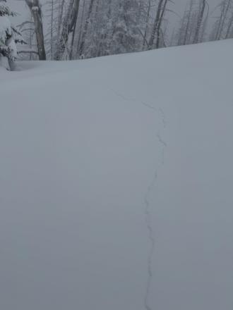
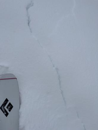
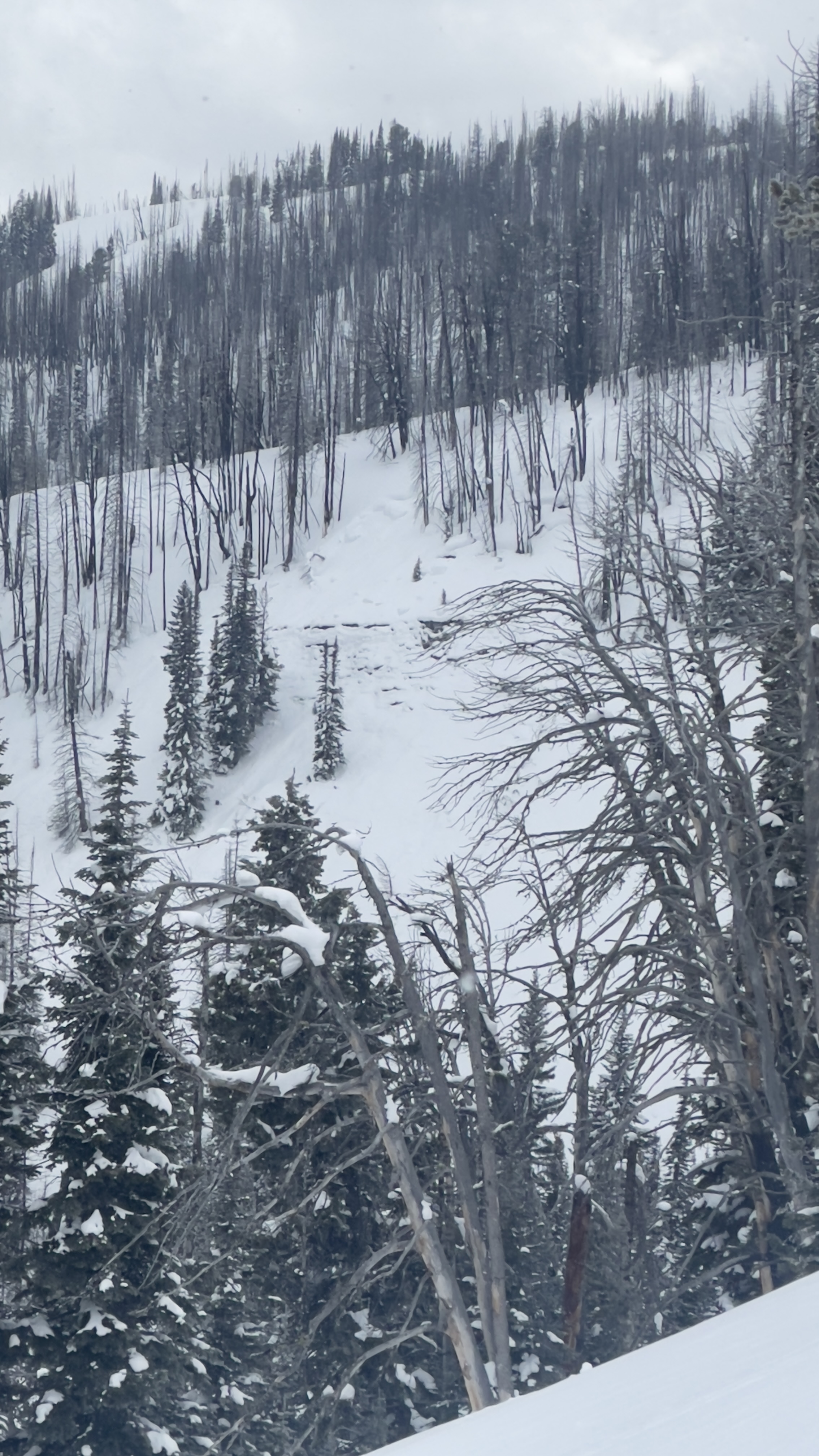
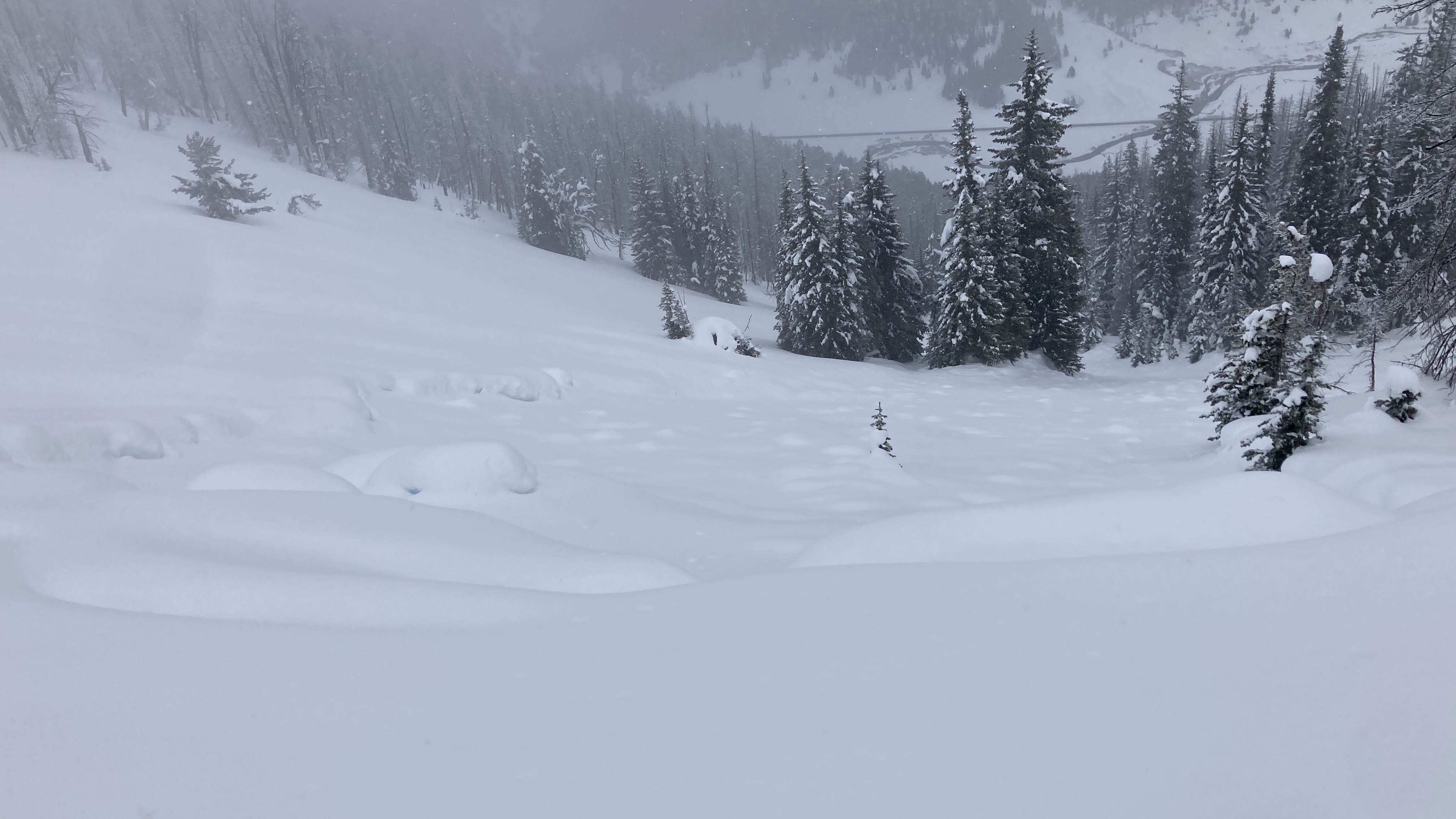
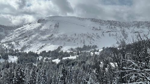
On 5/4/24 Skiers triggered large wet loose slides on the Fin near Cooke City
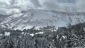
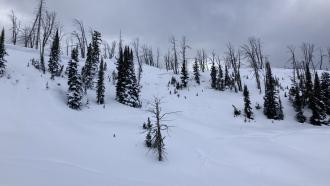
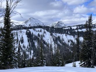
Trip Planning for Southern Madison

Primary Problem: None
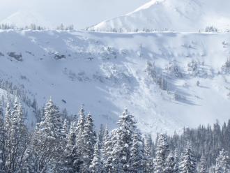
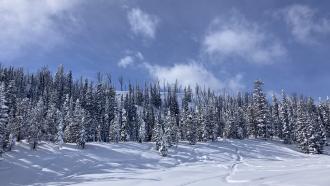
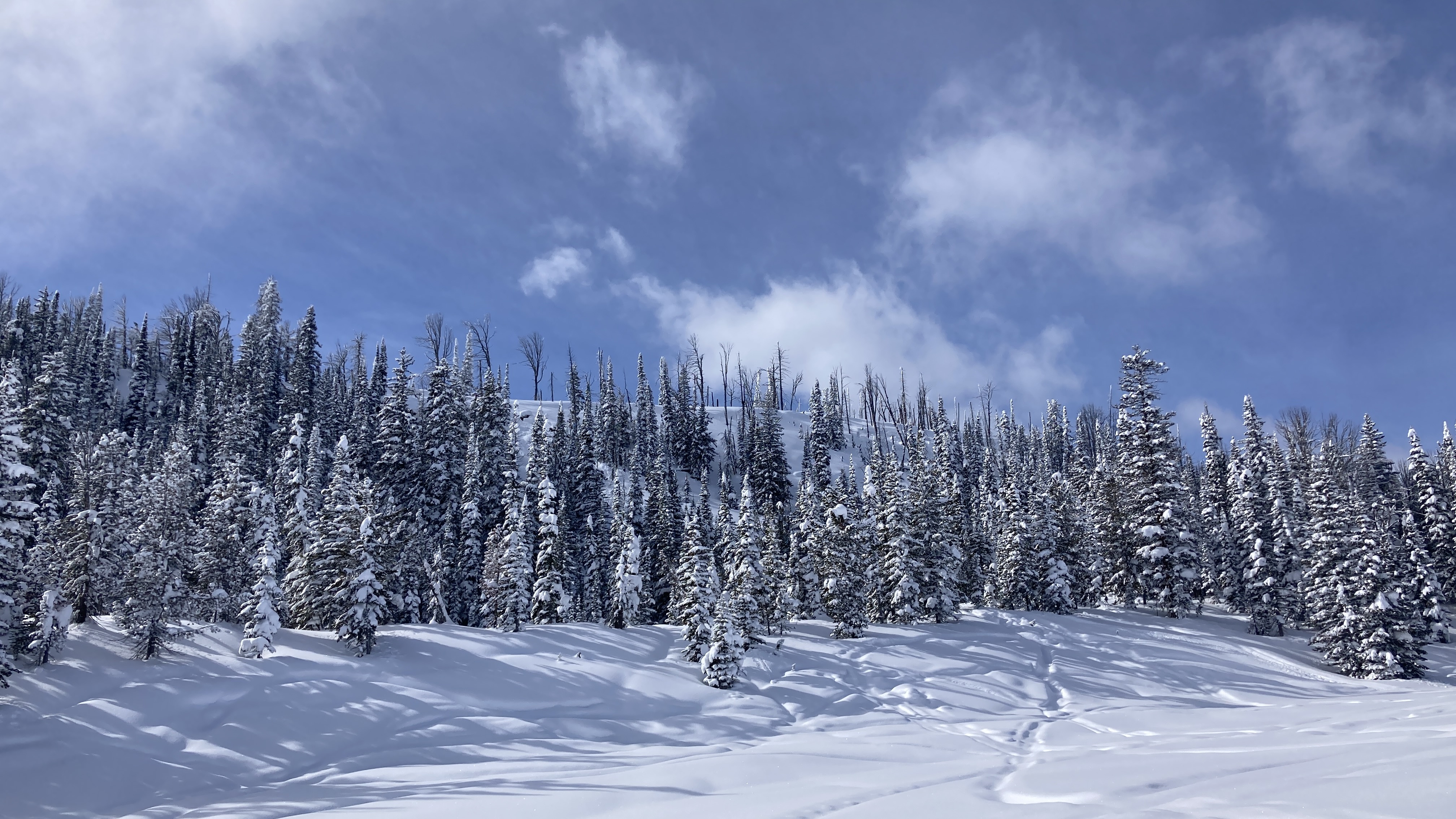
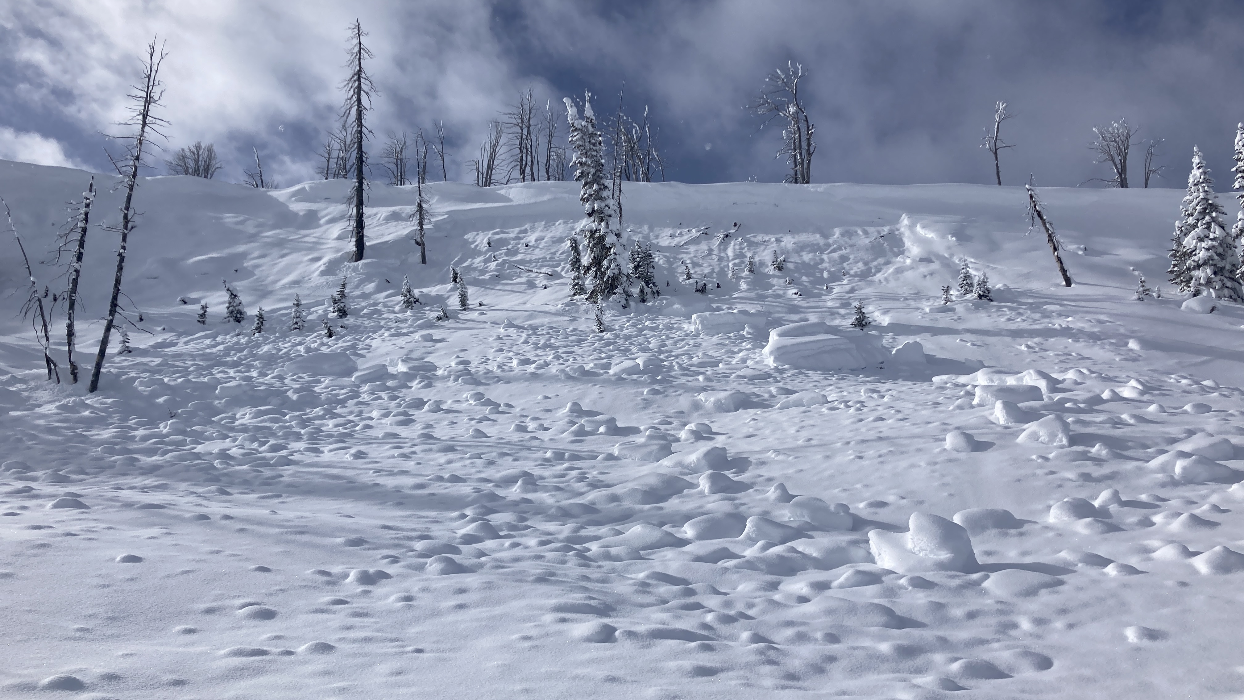
Bottom Line: Spring weather can be highly variable and create a mix of avalanche problems to watch out for. Snow conditions and snow stability can change drastically from day to day or hour to hour. Anticipate rapid change and plan accordingly. Plenty of snowfall over the winter with more spring snow to come makes avalanches possible into summer.Past 5 Days
Fri Apr 19

None
None
Mon Apr 22
None
None
Fri Apr 26
None
None
Mon Apr 29
None
None
Thu May 2
None
None
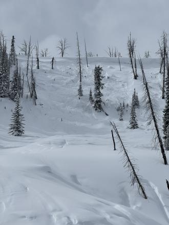
Relevant Avalanche Activity
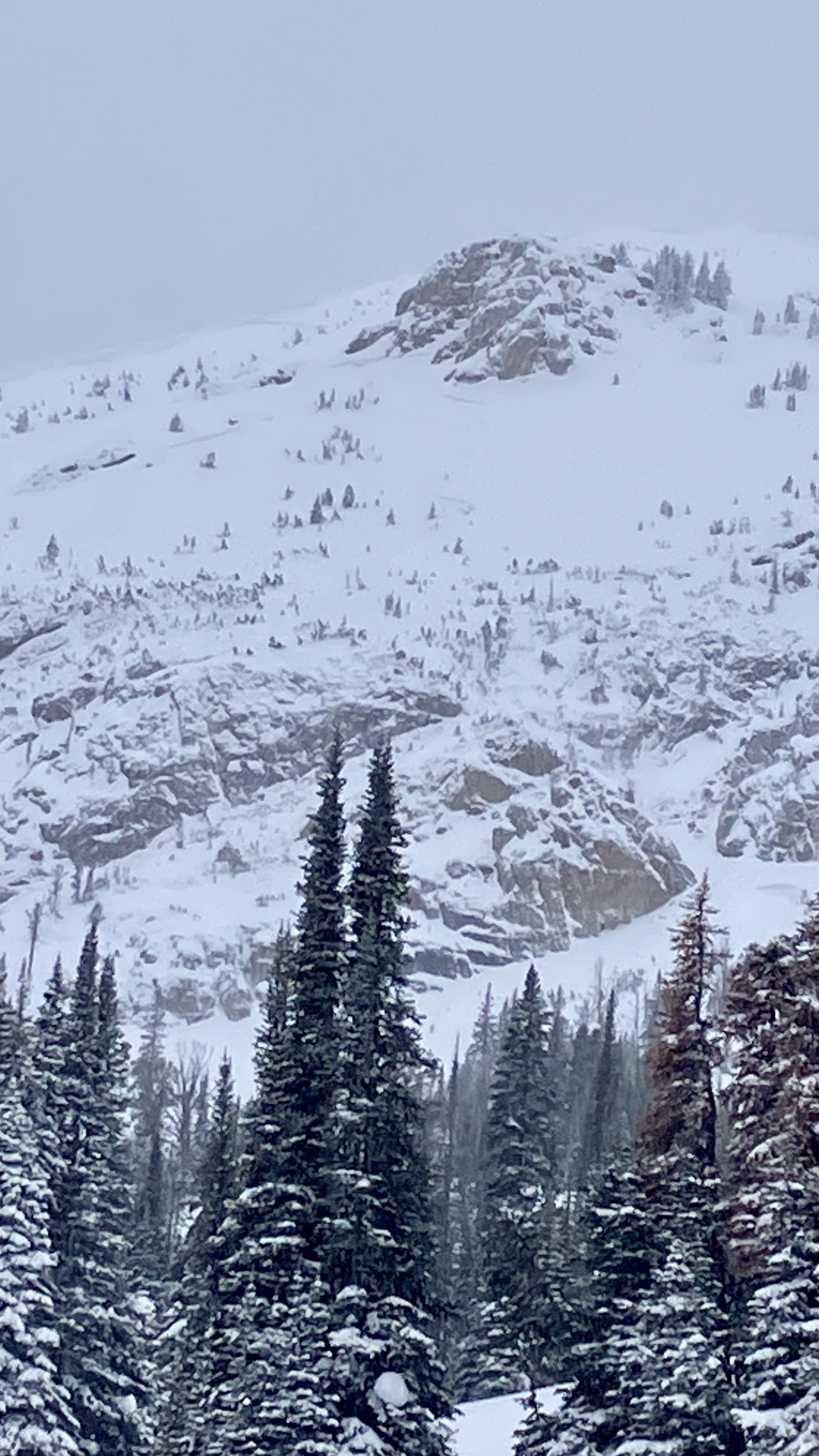
Cooke City
Republic Mountain
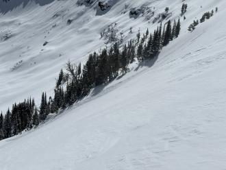
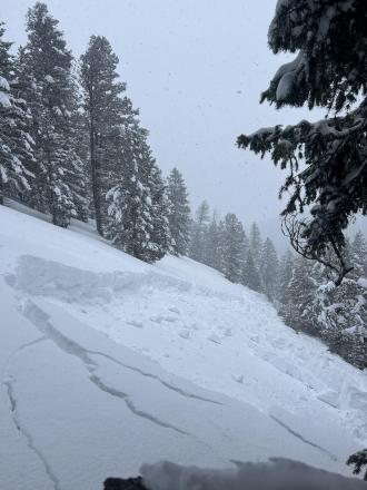
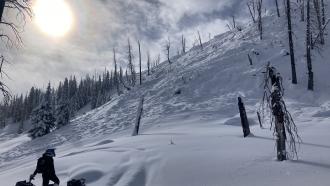
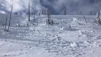
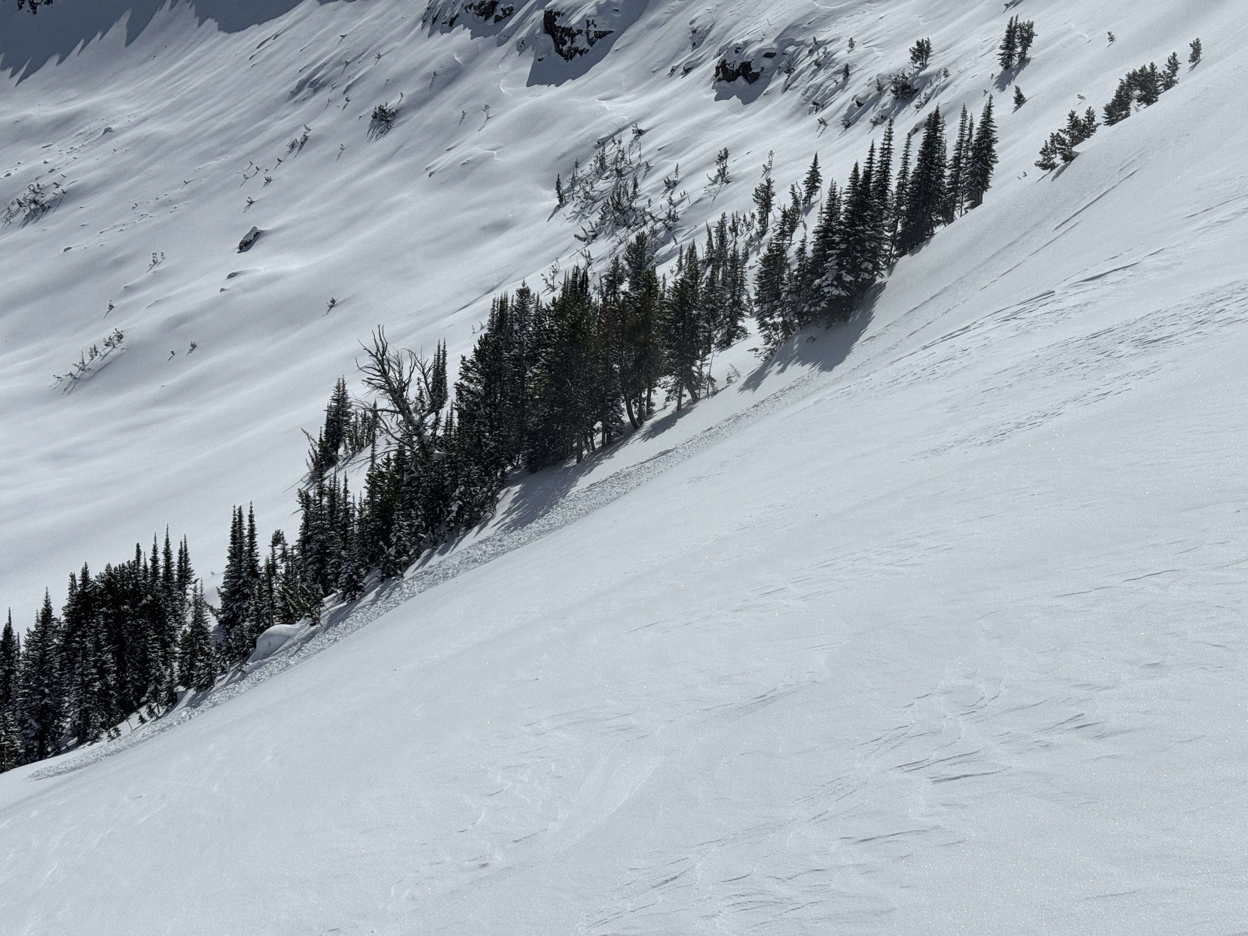
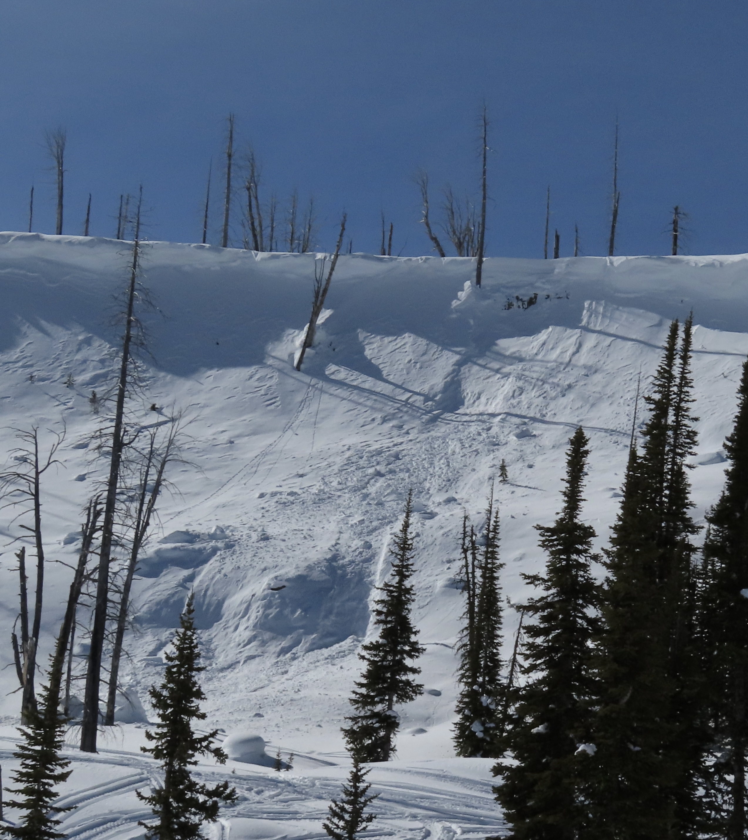
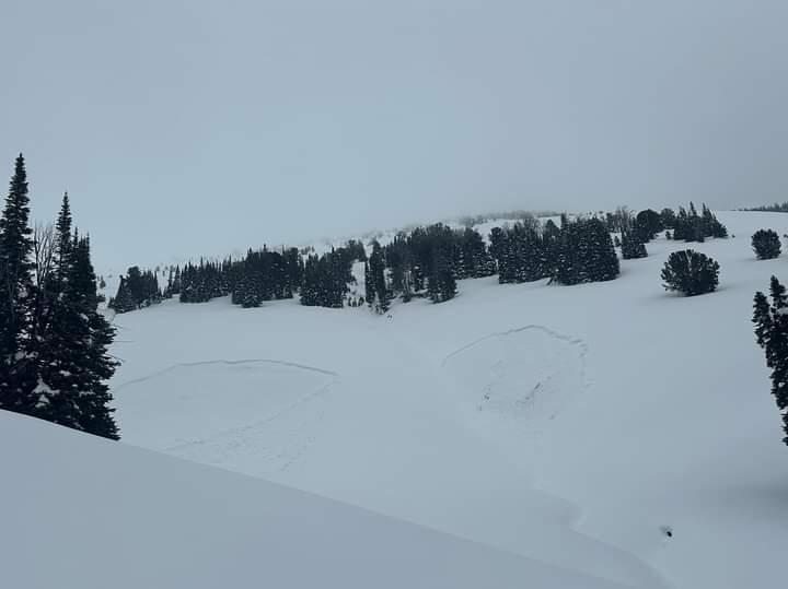
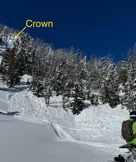
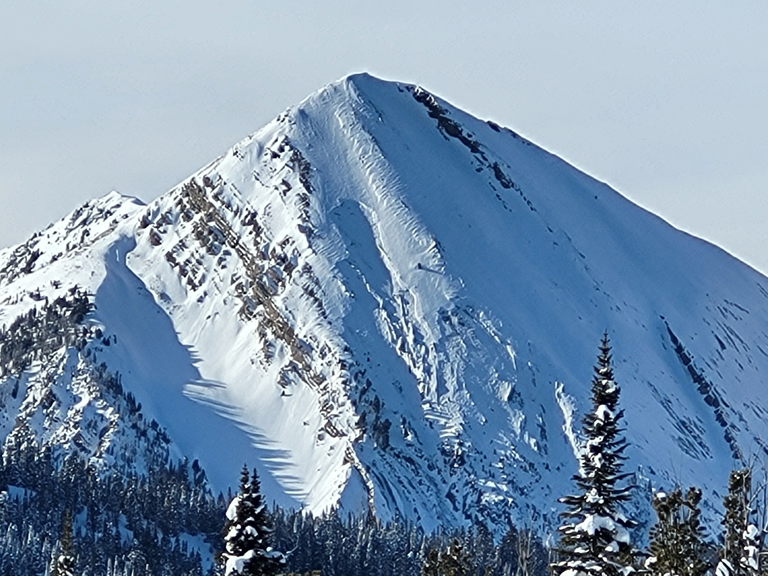
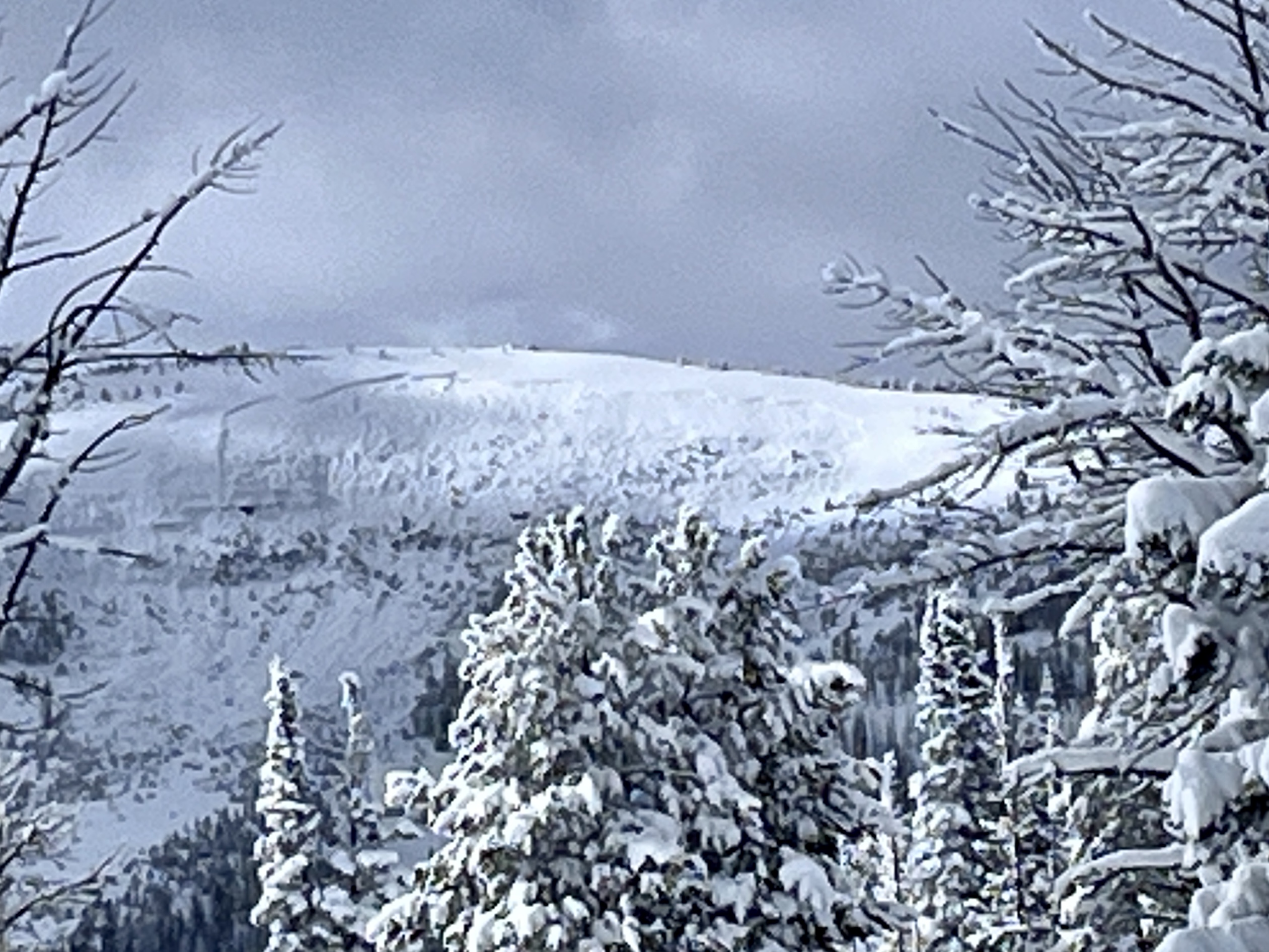
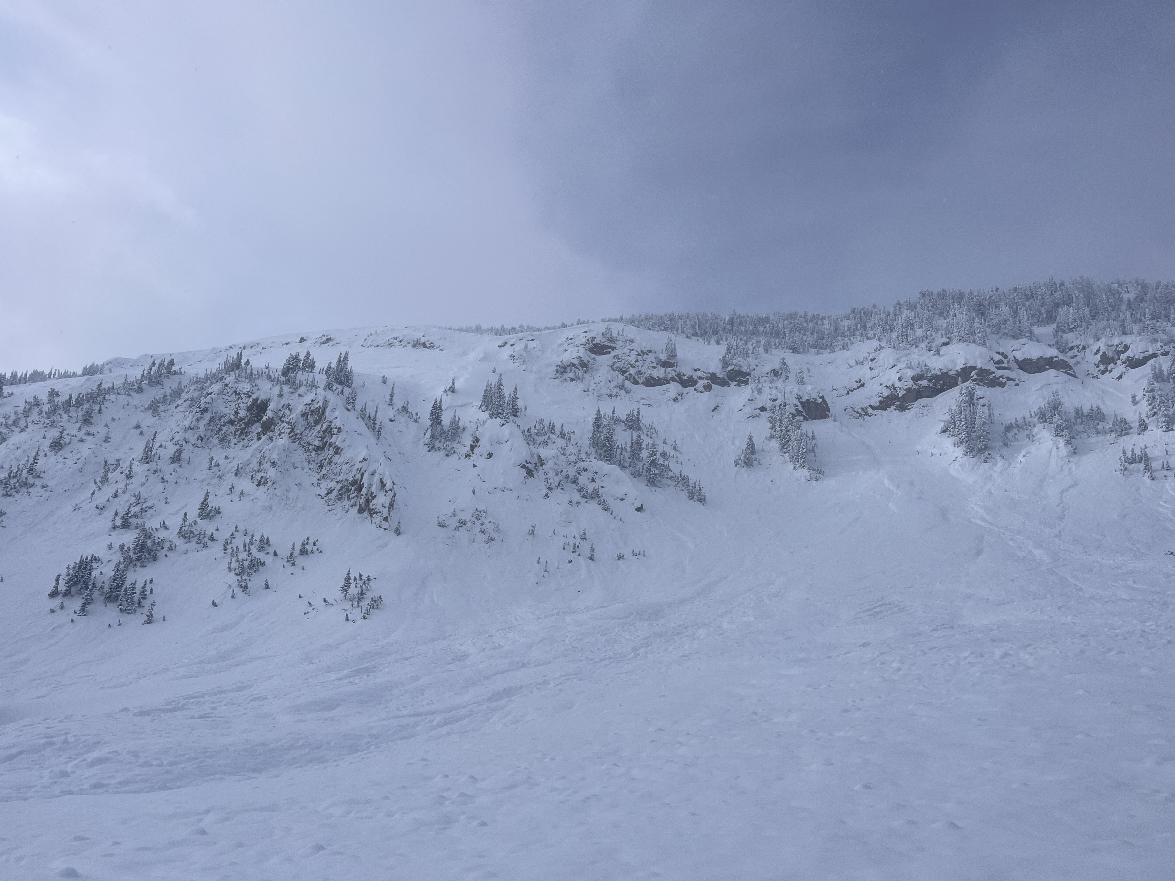
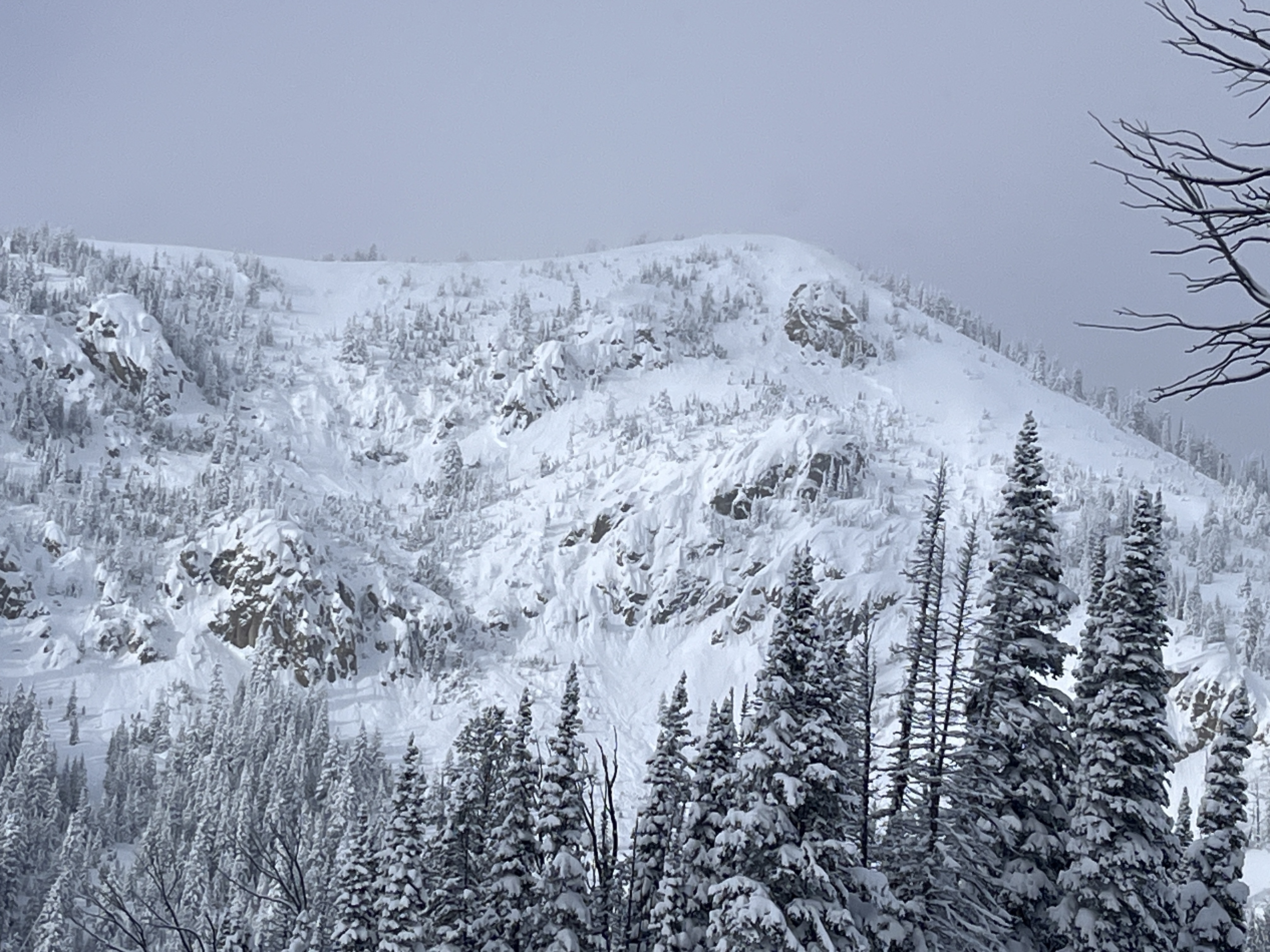
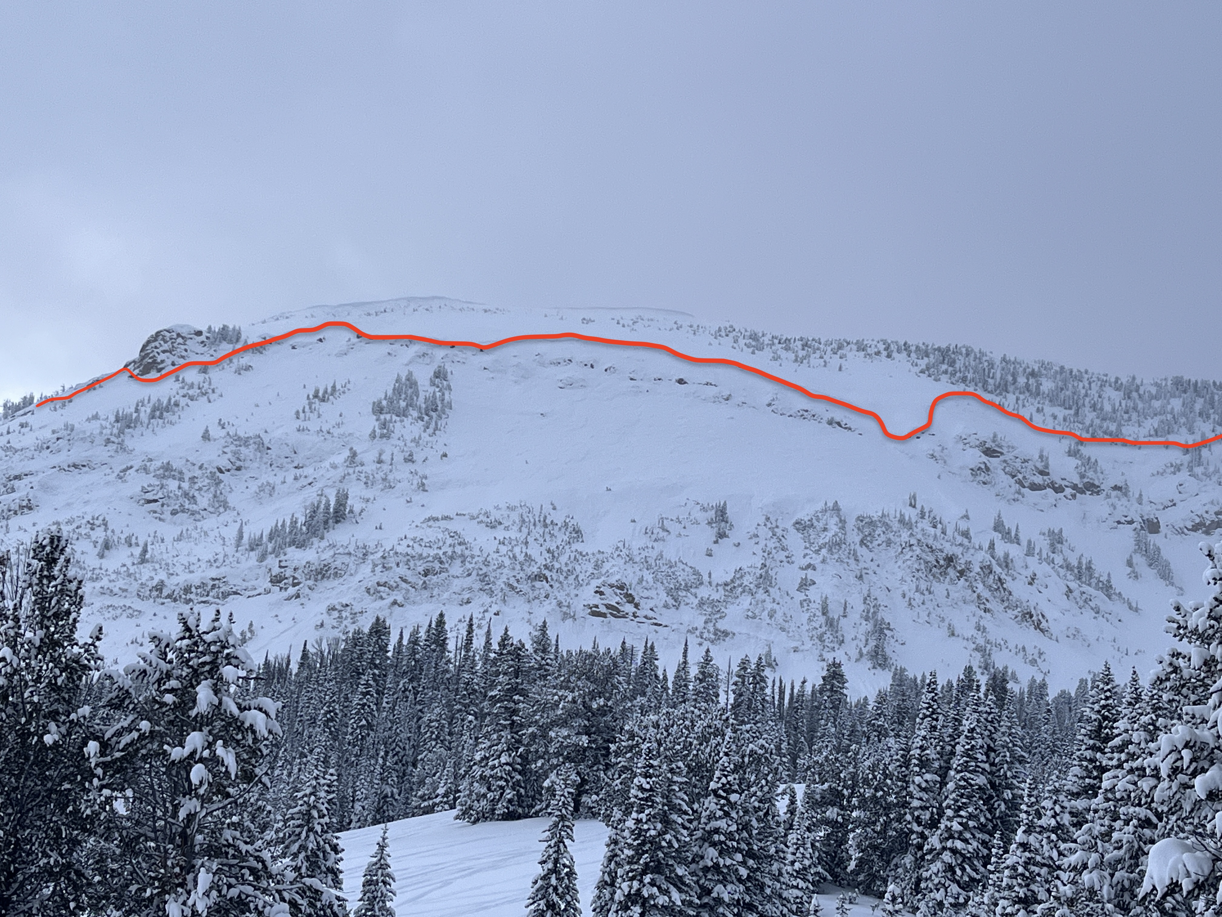
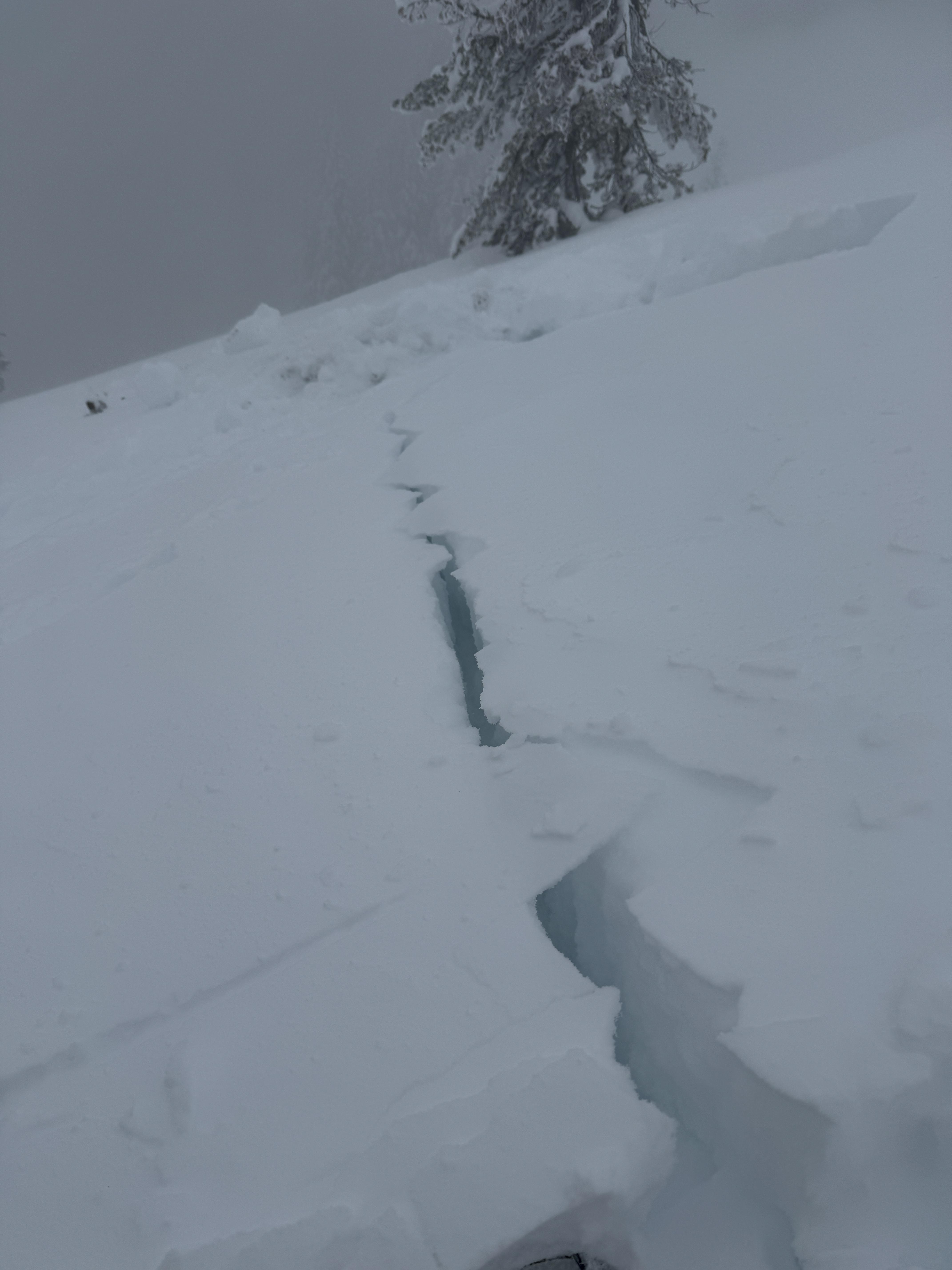
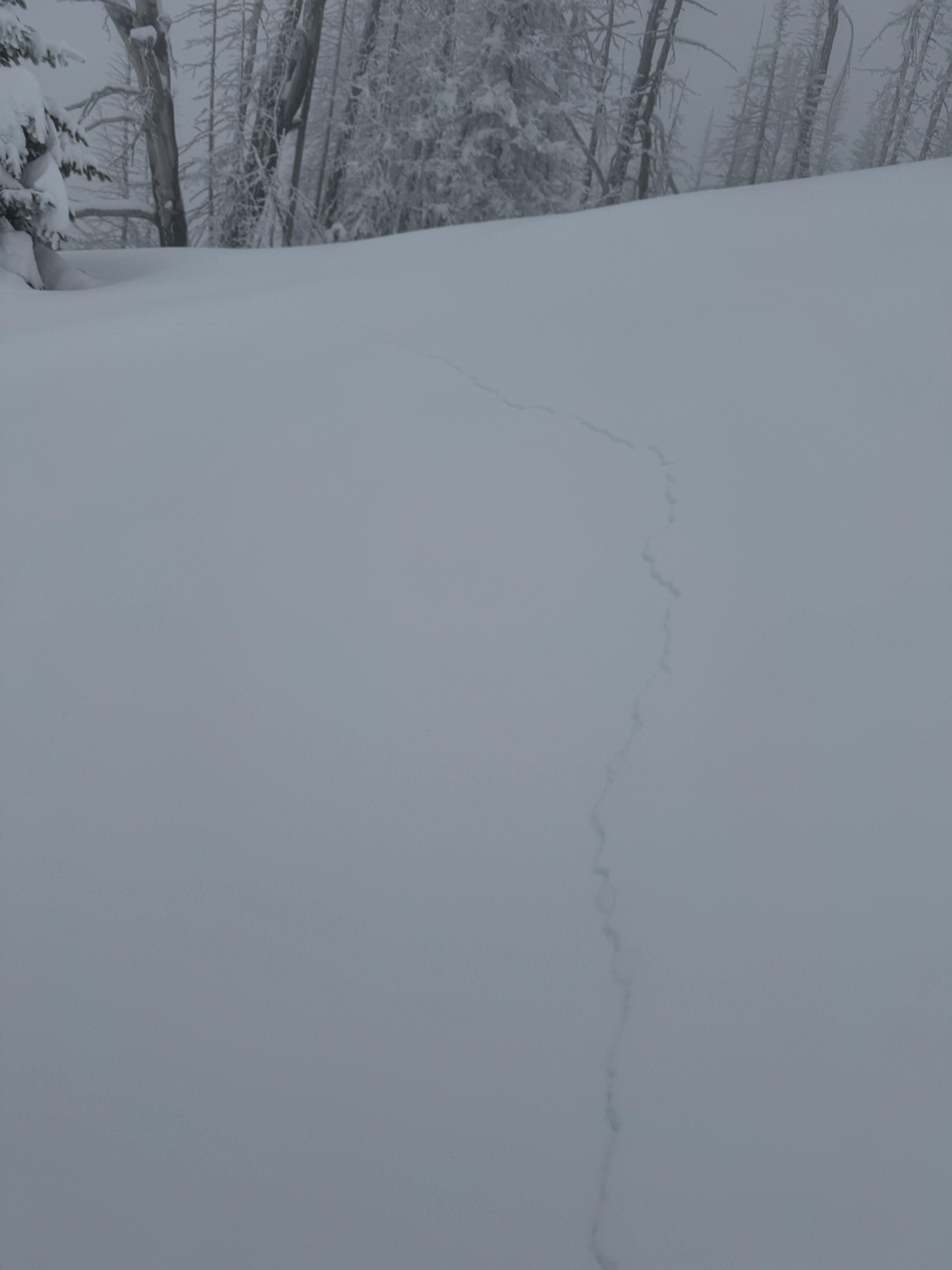
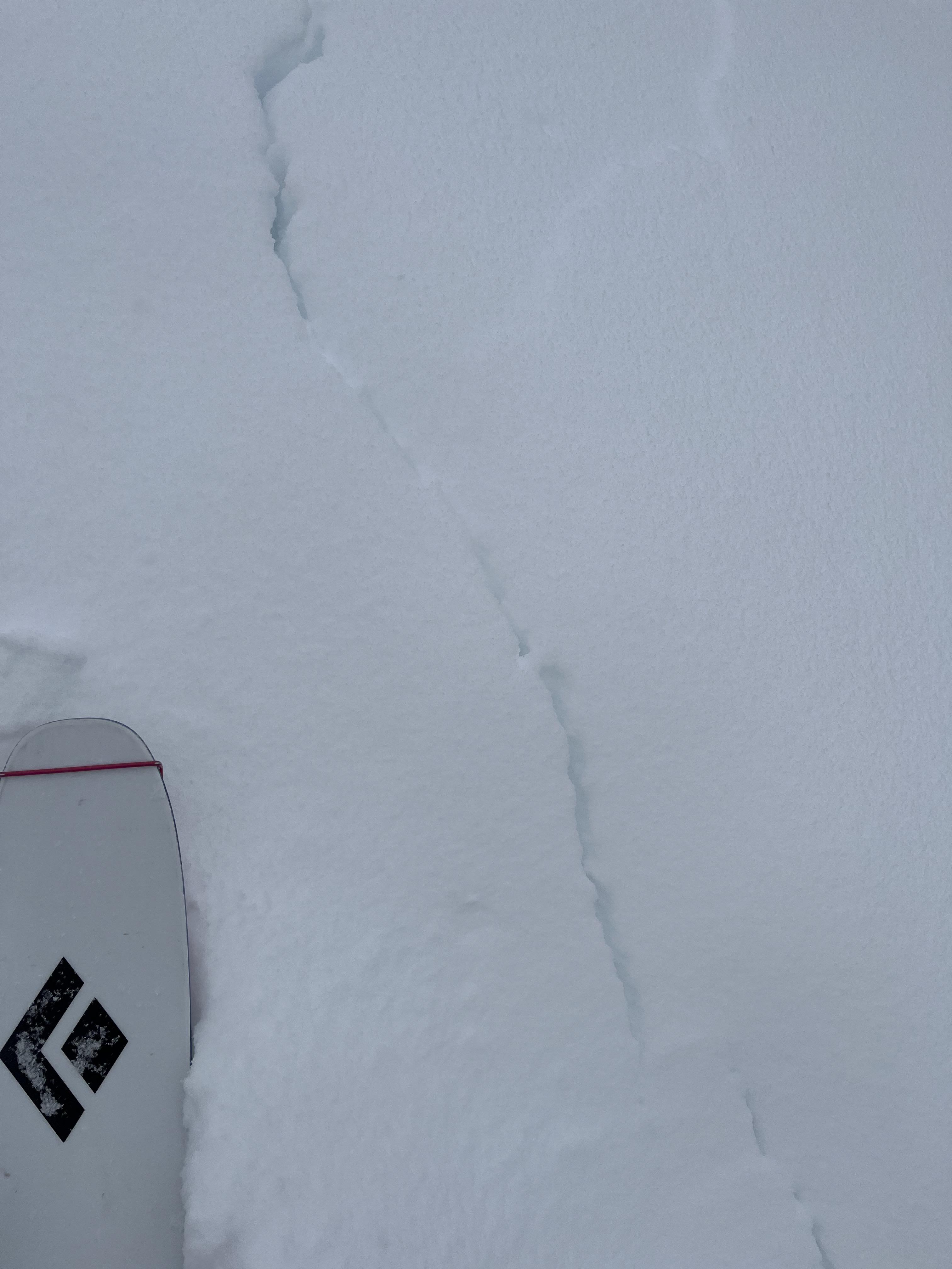
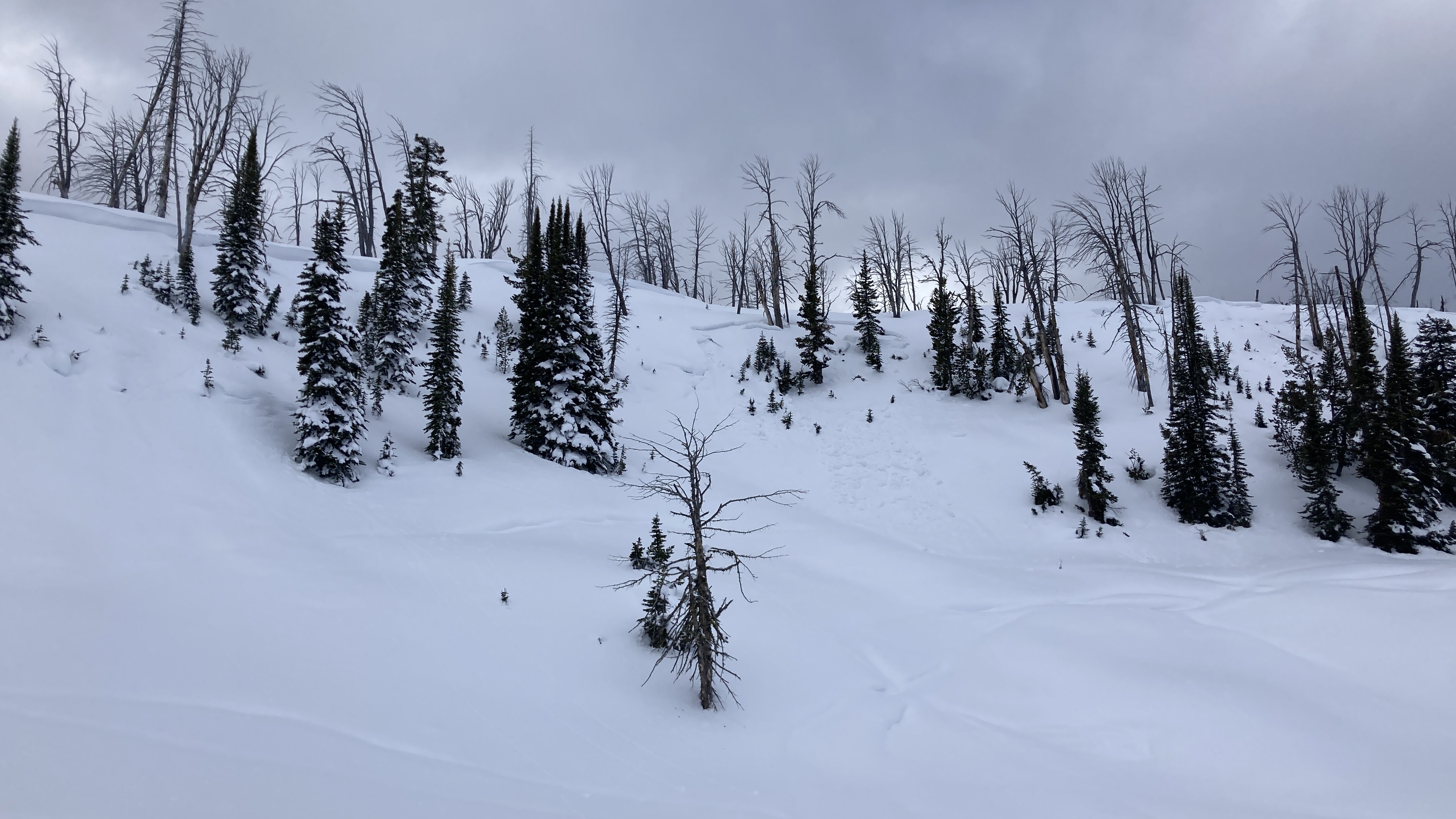
Skier triggered large Wet loose on the fin
Republic Mountain
L-ASu-R2-D2-I
Elevation: 10,000
Aspect: E
Coordinates: 45.0003, -109.9540
Caught: 0 ; Buried: 0
More Avalanche Details
L-ASu-R2-D2-I
Elevation: 10,000
Aspect: E
Coordinates: 45.0003, -109.9540
Caught: 0 ; Buried: 0
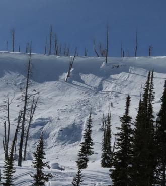
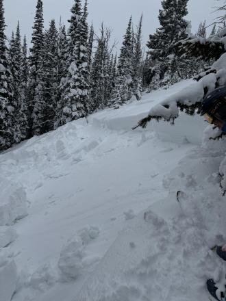
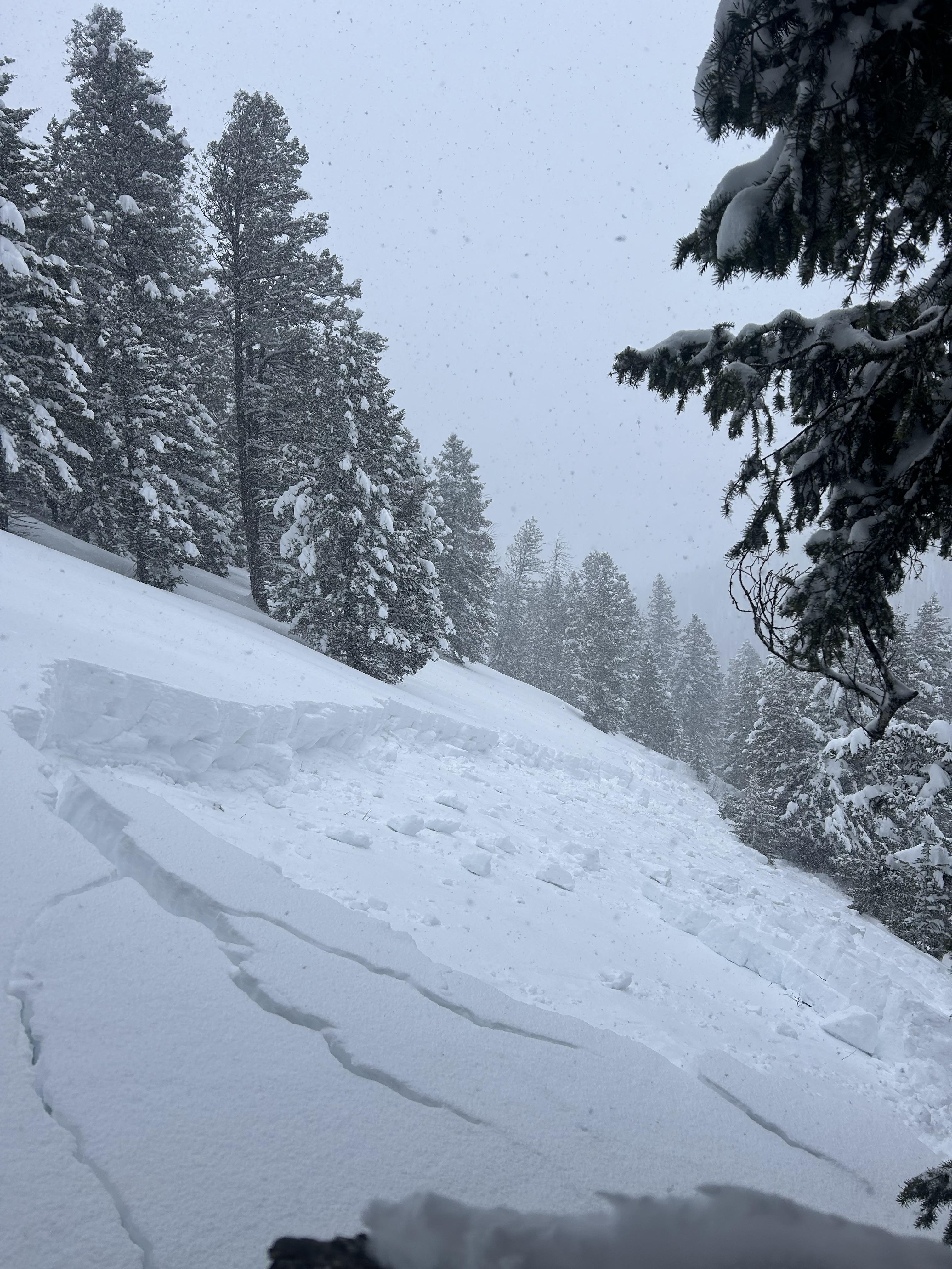
From obs.: “Our party (3) triggered a significant wet loose slide on the fin today. I, the first skier dropped in next to existing tracks from earlier in the morning. I made a couple of small turns in unskied snow to test it and decided that not much was moving. As I continued down the wet surface snow started to slide and accumulate. My partner called me on the radio to tell me a lot of snow was moving behind me and I cut left. I traversed hard to lower angle terrain until I felt I could safely descend the rest of the slope. My partners descended the bed surface until they could traverse out.
We made several key mistakes today. We knew it would be warm and that we should be up and down early. We left later than planned, moved slower than expected and failed to adjust our plan. We mistook lack of wet loose activity on similar aspects and elevations on features we could see as sign of stability. We failed to make a plan B or establish a turnaround time. We interpreted a party ahead of us that skied the slope as a go ahead. Another party approaching behind us added pressure to go. They also skied the slope after us in similar style to my partners.
In our favor, we communicated well, radios were key, stayed calm and we managed ourselves through the situation. I feel humbled and lucky to have gotten away with a free lesson. One that I didn't think I should have needed.”
More Avalanche Details
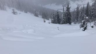
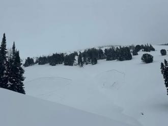
Relevant Photos
Displaying 1 - 40
-

-
Wet slide to the ground above Quake Lake. Photo: K Kramer
-

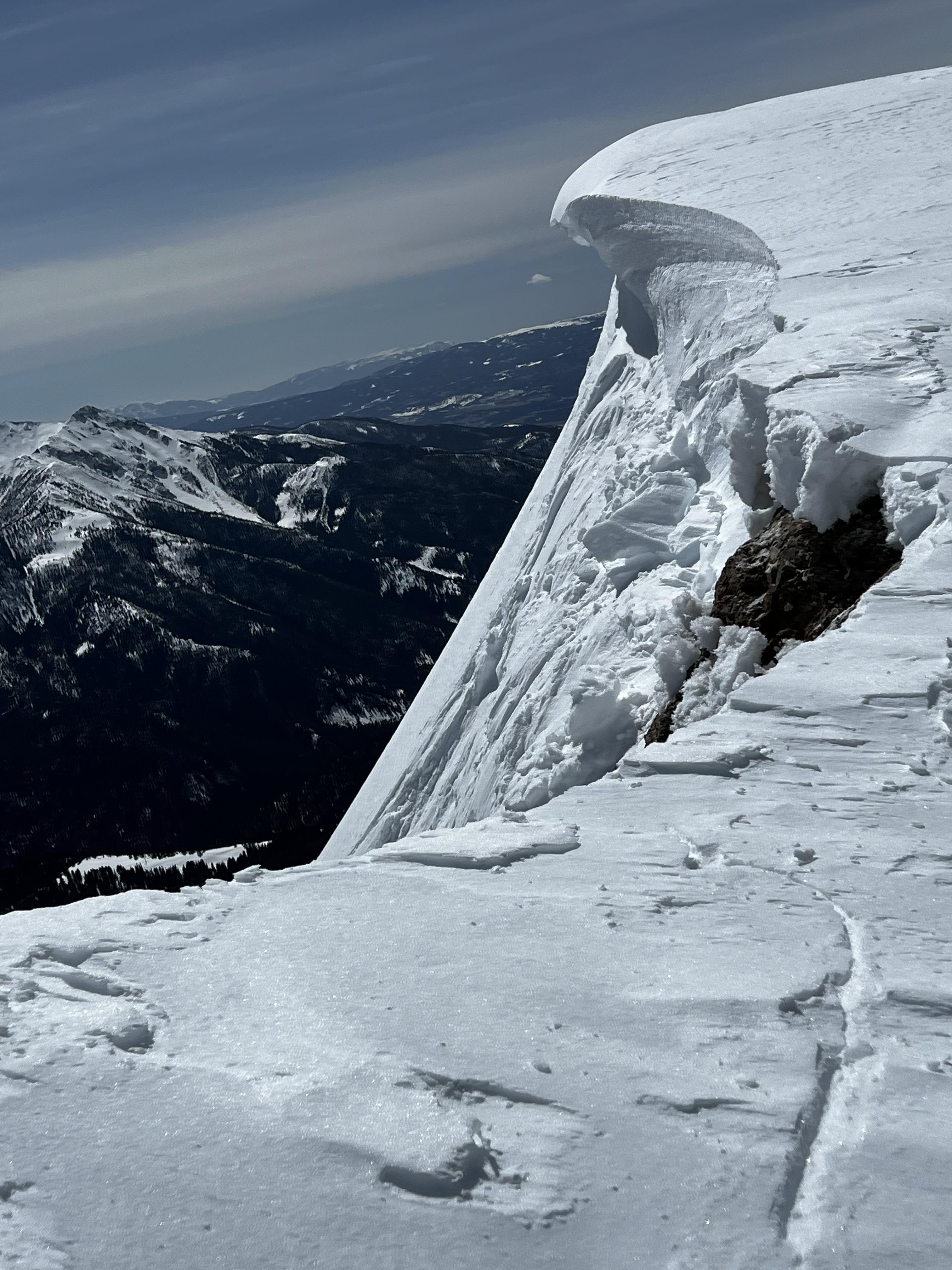
Skiers unintentionally triggered this cornice above the south face of the Sphinx. No one was caught. Photo: Anonymous
-
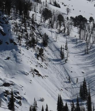
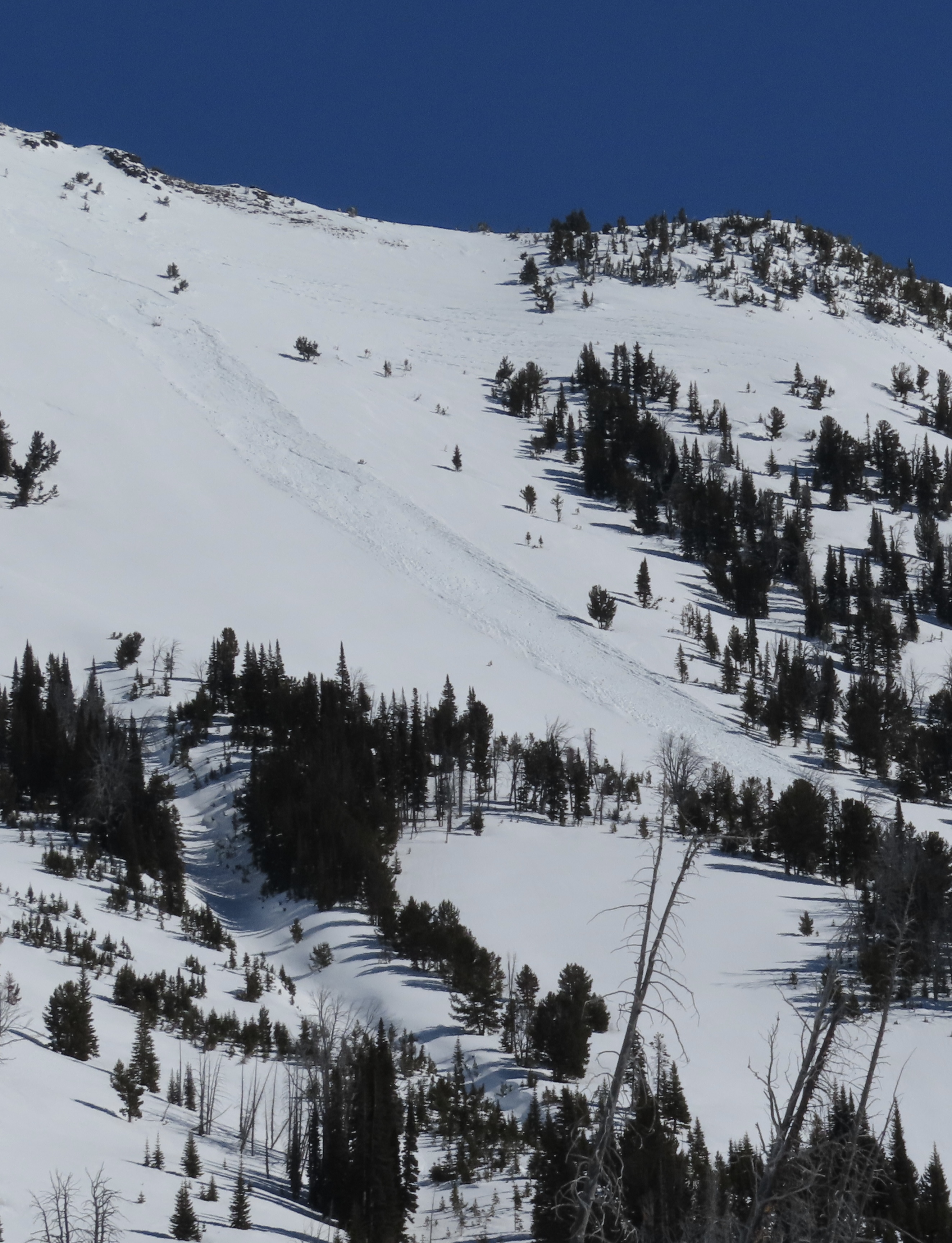
There was a full-depth wet slab avalanche that broke last week during the warm-up on Lightning Ridge. GNFAC
-
We saw one new wind-slab avalanche in Sunlight Basin. It was small. From a distance, it appeared to be about 6" deep and 30' across (R1-D1). GNFAC
-
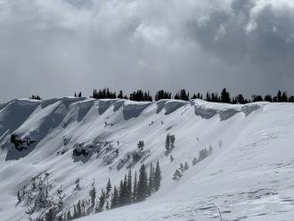
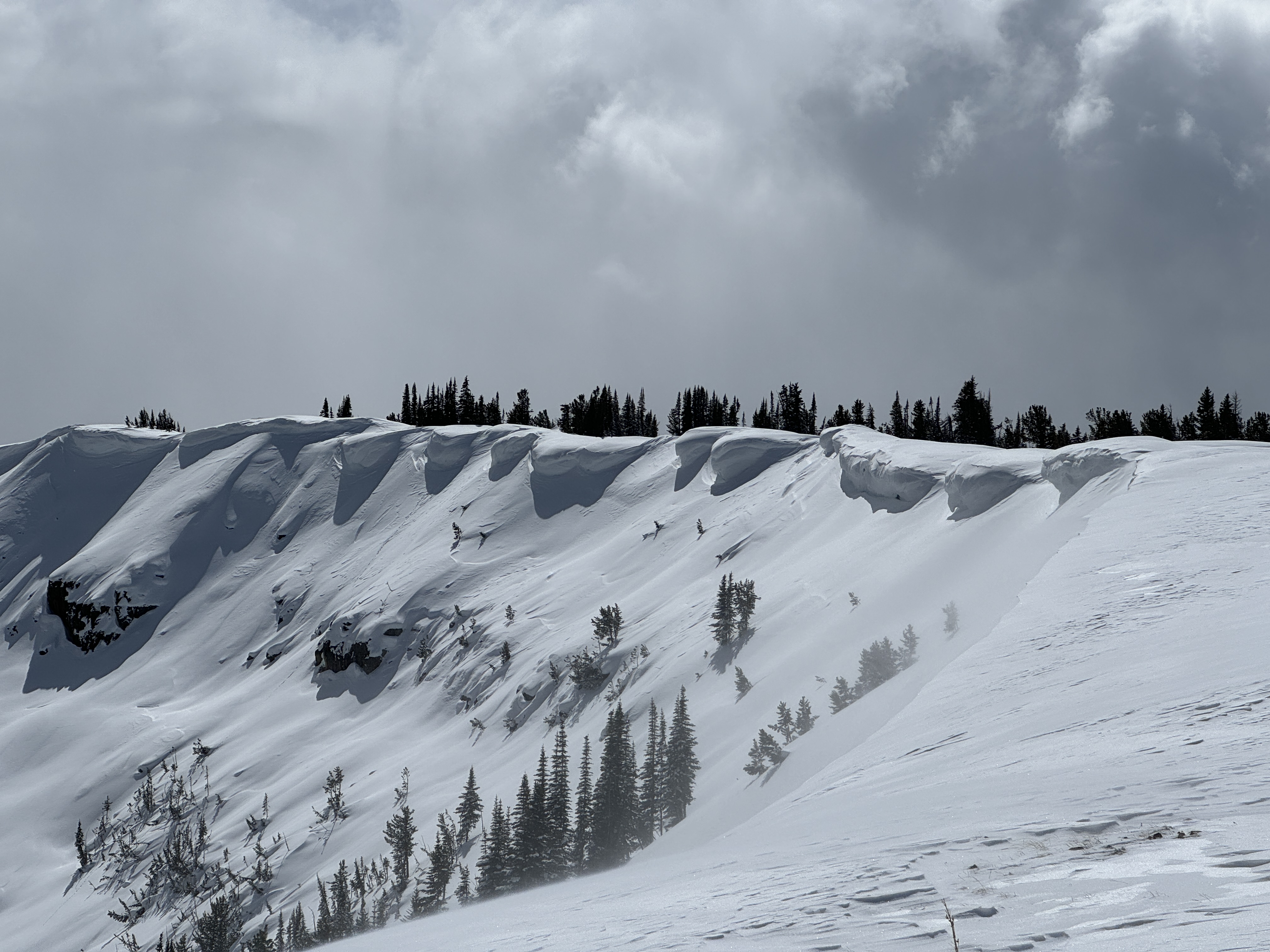
Spring cornices are growing very large above many wind-loaded slopes. GNFAC
-
We rode from Taylor Fork through Cabin Creek on March 17. We saw a few recent slab avalanches that happened after the last snowfall, and some recent natural wet loose avalanches, and a cornice fall. Photo: GNFAC
-
We rode from Taylor Fork through Cabin Creek on March 17. We saw a few recent slab avalanches that happened after the last snowfall, and some recent natural wet loose avalanches, and a cornice fall. Photo: GNFAC
-
We rode from Taylor Fork through Cabin Creek on March 17. We saw a few recent slab avalanches that happened after the last snowfall, and some recent natural wet loose avalanches, and a cornice fall. Photo: GNFAC
-
We rode from Taylor Fork through Cabin Creek on March 17. We saw a few recent slab avalanches that happened after the last snowfall, and some recent natural wet loose avalanches, and a cornice fall. Photo: GNFAC
-

A natural or human-triggered avalanche near the skin track at Bacon Rind. Photo: GNFAC
-
A natural or human-triggered avalanche near the skin track at Bacon Rind. Photo: GNFAC
-

Deep shooting cracks near an avalanche at Bacon Rind. Photo: GNFAC
-
We rode into Tepee Basin and saw two recent avalanches on 3/2/24. This one looked like it maybe happened yesterday, on a heavily wind-loaded slope below some cornices, 2-2.5' deep and 250-300' wide. Photo: GNFAC
-

We rode into Tepee Basin and saw two recent avalanches on 3/2/24. One looked like it happened this morning on a treed ridgeline, 1-1.5' deep 150-200' wide. Photo: GNFAC
-
Skiers on 03/02/2024 saw a natural avalanche on an east-facing slope and broke 3-4' deep and 100' wide. This avalanche likely happened in the last 24 hours. Photo: A. Faulkner
-
We noted a relatively small avalanche on the wall of Sage Basin that failed naturally within the storm snow. Photo: GNFAC
-

Skiers on 02/22/2024 observed an old avalanche that appeared to of been natural that happened sometime last week near 02/15 -02/16. Photo: H. Bigos-Lowe
-
The skillet slid sometime recently. Based on the snow on top I'm guessing Thursday-Friday last week (Feb 15-16th), but it could have happened up to a week earlier. Broke ~2 ft deep, 150 ft wide, and it was hard to tell how far it ran, but I'm estimating 200 vertical feet. Photo: GNFAC
-
From IG: 2 avalanches from either this morning or yesterday at the bottom of Skyline ridge 2’ at the crown
-

From FB 02/17/24: "Observed runout debris from a small avalanche on a south facing forested slope in Upper Tepee Basin. Shows avalanches can occur through forested areas." Photo: C. Sexton
-
From obs: "We observed another, probably rider triggered avalanche in Wapiti Creek that broke on old snow near the ground ~2 feet deep and ~60ft across." Photo: S. Jett
-

From obs: "We observed large natural avalanches from afar on the west side of Snowslide Mountain. We observed these from a few miles away and were probably several feet deep and a few hundred feet wide." Photo: S. Jett
-
From obs: "We observed large natural avalanches from afar on...the east aspect of a peak south of Woodward Mountain. We observed these from a few miles away and were probably several feet deep and a few hundred feet wide." Photo: S. Jett
-
Natural avalanche in Sunlight Basin. Photo taken 2/14/24. Slide appeared to be a few days old. Photo Credit: GNFAC
-
Avalanche in Sage Basin that appeared likely to have been remotely triggered by a snowmobiler from ~100 ft away. Photo taken 2/14/24. Slide was fresh, likely broke yesterday, 2/13/24. Photo Credit: GNFAC
-
Natural avalanche in Sage Basin. Photo taken 2/14/24. Slide appeared to be a few days old. Photo Credit: GNFAC
-
Natural avalanche in Sage Basin. Photo taken 2/14/24. Slide appeared to be a few days old. Photo Credit: GNFAC
-
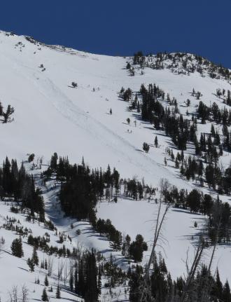
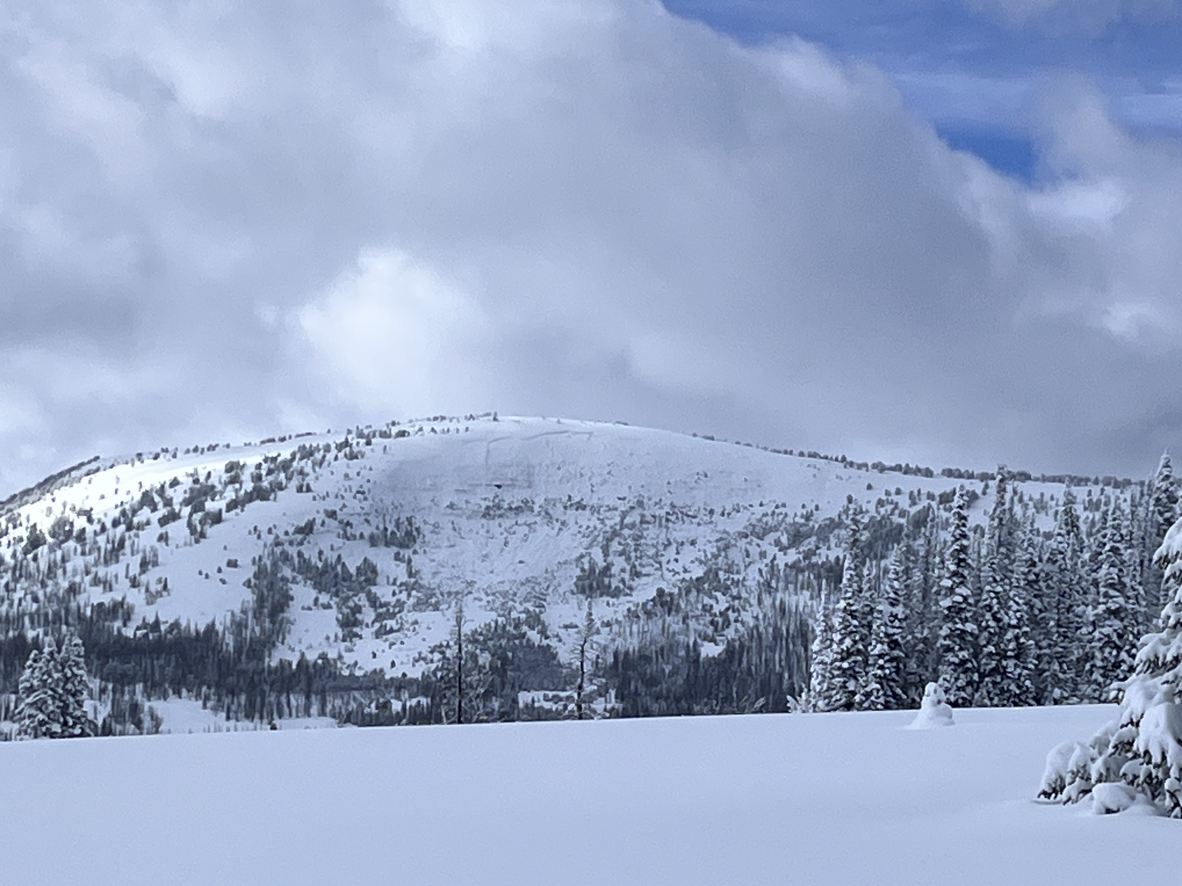
An overview photo of the 3/4 mile wide avalanche in Tepee Basin. Photo: A. Vaughn
-
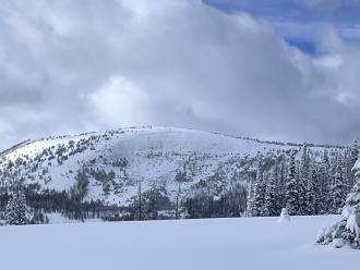
Photo of a natural avalanche that was reported on 02/09/2024. Photo taken on 02/10/2024. Photo: Z. Peterson
-

Photo of a natural avalanche that was reported on 02/09/2024. Photo taken on 02/10/2024. Photo: Z. Peterson
-
A portion of the debris pile from a rider triggered an avalanche on 02/07/2024. This avalanche broke 3/4 of a mile wide and had multiple large piles of debris with this being one of the largest.
-
The contiuation of the crown of an avalanche that was remotely triggered by a rider on 02/07. This was a very wide avalanche that broke 3/4 of a mile long, 3-4' deep. Photo: GNFAC
-
The crown of an avalanche that was remotely triggered by a rider on 02/07. This was a very wide avalanche that broke 3/4 of a mile long, 3-4' deep. Photo: GNFAC
-
This crack opened up above our snowpit as we made our exit away from the steeper terrain of the "Skillet" run toward low-angle trees. Photo: GNFAC
-
We triggered booming collapses and watched cracks shoot out across terrain features and snow shake off nearby trees for the entirety of our tour from the meadow near the car to the top of the Skillet. Photo: GNFAC
-
From obs: "We heard numerous large-scale collapses and witnessed the development of propagating tensile fractures on a 20°-25° slope along the skin track.... We skied this location 4 times this week. Each time, we experienced collapsing and fracturing within the snowpack. and stuck to skiing conservative, low-angle lines." Photo: T. Kalakay
-

We saw multiple old avalanches that happened sometime in the last week, likely near the end of the last storm. Photo: GNFAC
-
We saw multiple old avalanches that happened sometime in the last week, likely near the end of the last storm. Photo: GNFAC
-
Recent avalanches seen in Taylor Fork near Beaver Creek. These likely happened on 01/31/2024. Photo: GNFAC


Videos- Southern Madison
WebCams
Raynolds Pass, Looking N

Weather Stations- Southern Madison
Weather Forecast Southern Madison
Extended Forecast for20 Miles S Big Sky MT
Winter Storm Warning May 7, 06:00pm until May 9, 12:00amClick here for hazard details and duration Winter Storm WarningToday
High: 33 °F
Breezy.
Slight Chance
Snow then
Snow LikelyTonight

Low: 22 °F
Snow and
Patchy
Blowing SnowWednesday

High: 35 °F
Snow and
Patchy
Blowing SnowWednesday Night
Low: 27 °F
Snow Likely
and Patchy
Blowing Snow
then Chance
SnowThursday

High: 44 °F
Slight Chance
SnowThursday Night

Low: 25 °F
Mostly Clear
Friday

High: 53 °F
Sunny
Friday Night

Low: 31 °F
Clear
Saturday
High: 56 °F
Sunny
The Last Word
We began daily forecasts on December 7. 130 daily forecasts and 464 reported avalanches later, we wrapped up our daily forecasting season on April 14th. Read our SEASON SUMMARY to look back at the 2023-24 avalanche forecasting season.
Thank you to everyone that sent in observations, read the advisories, took an avalanche class, or donated money, time or gear. Our success is directly related to support from the community and the Forest Service. Have a safe spring and summer!