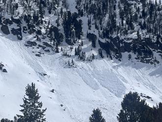
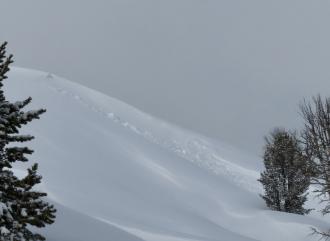
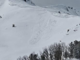
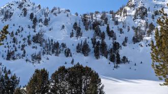
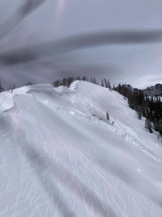
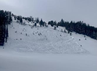
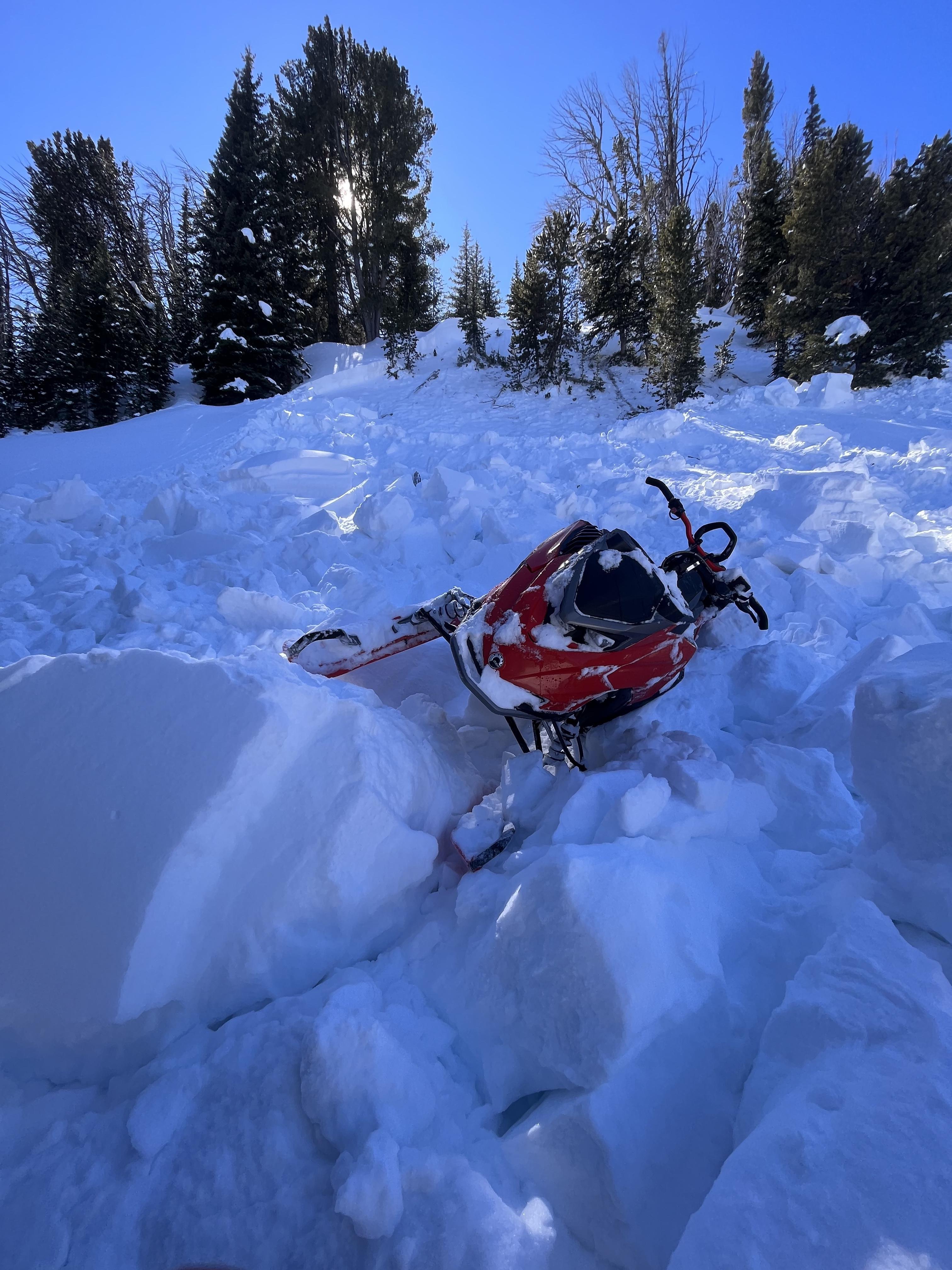
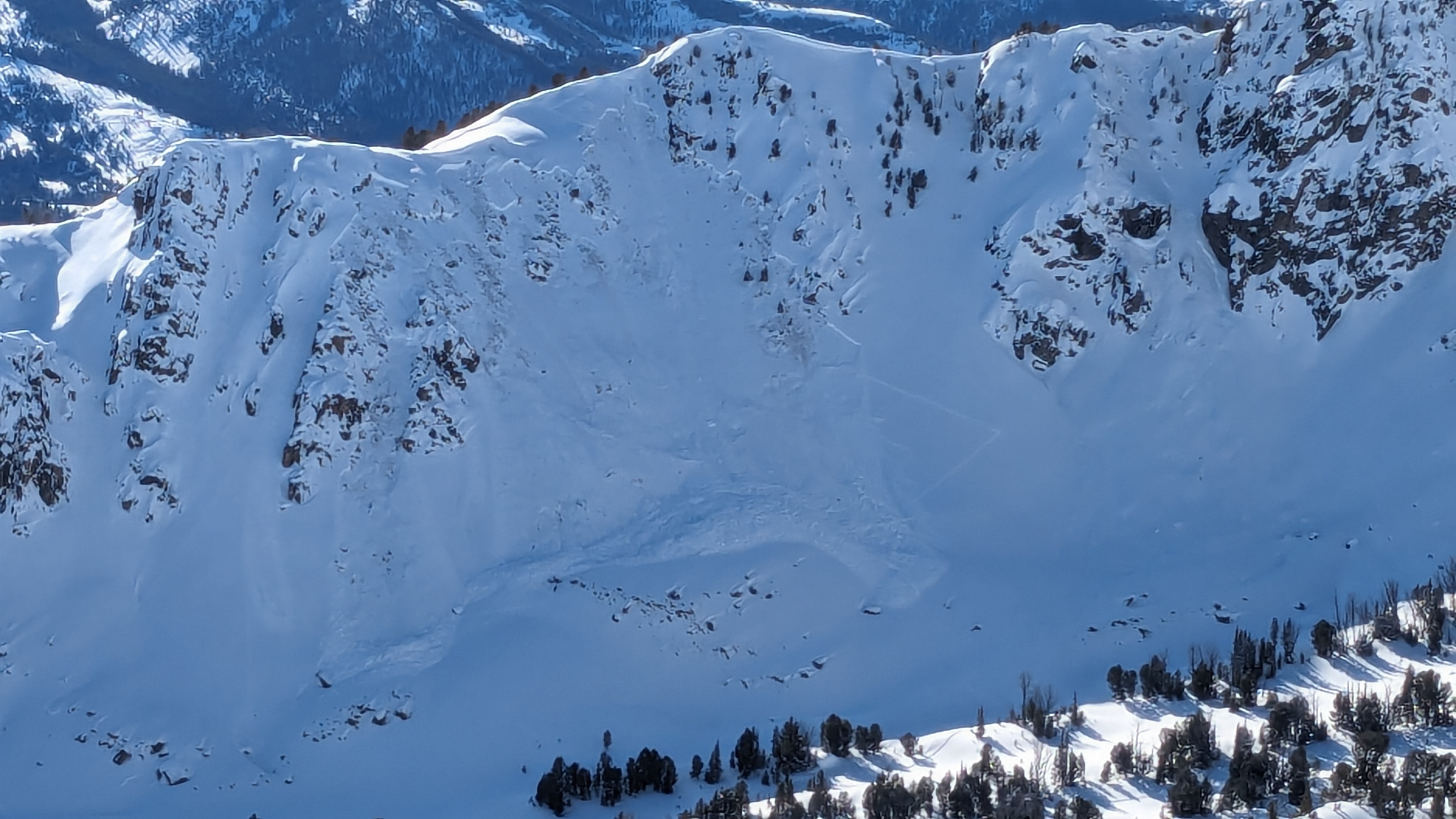
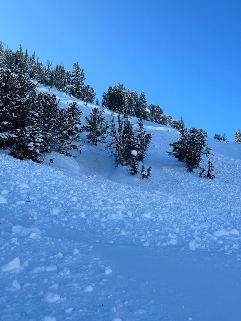
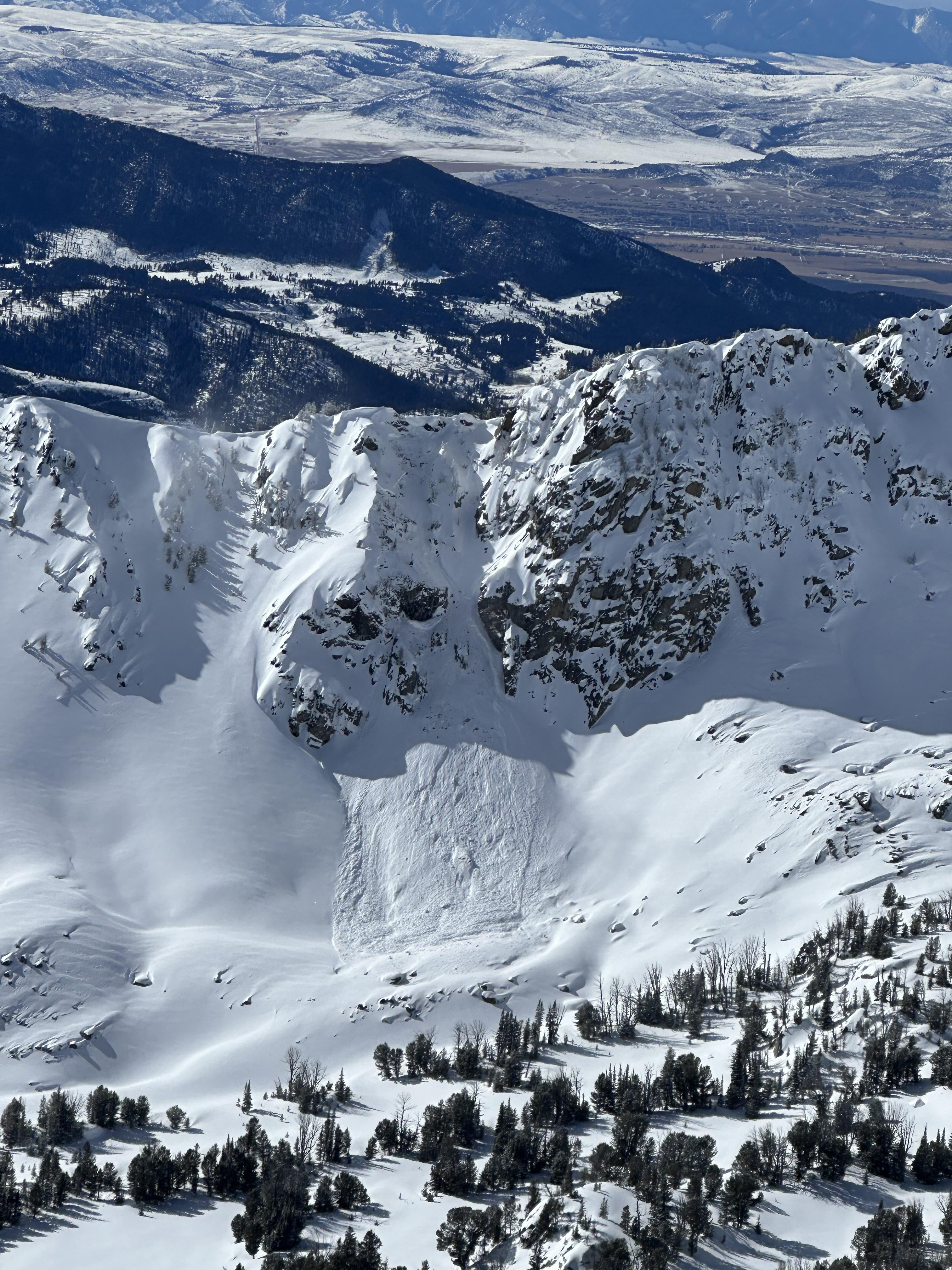
On 5/4/24 Skiers triggered large wet loose slides on the Fin near Cooke City
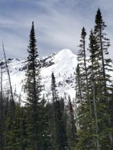
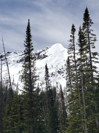
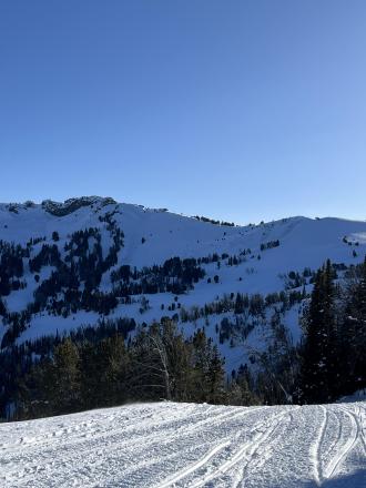
Trip Planning for Northern Madison

Primary Problem: None
Bottom Line: Spring weather can be highly variable and create a mix of avalanche problems to watch out for. Snow conditions and snow stability can change drastically from day to day or hour to hour. Anticipate rapid change and plan accordingly. Plenty of snowfall over the winter with more spring snow to come makes avalanches possible into summer.Past 5 Days
Fri Apr 19

None
None
Mon Apr 22
None
None
Fri Apr 26
None
None
Mon Apr 29
None
None
Thu May 2
None
None
Relevant Avalanche Activity
Cooke City
Republic Mountain
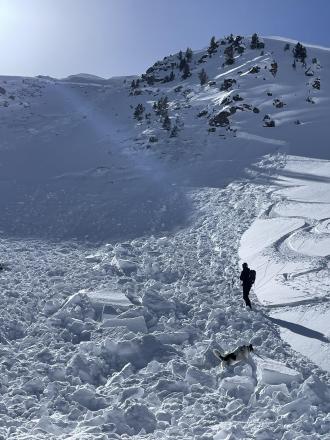
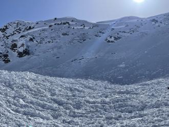
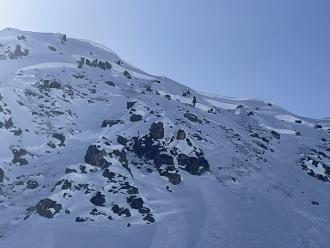
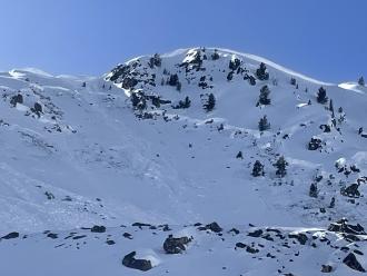
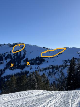
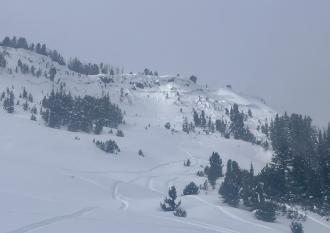
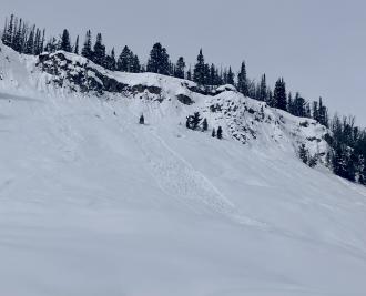
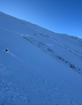
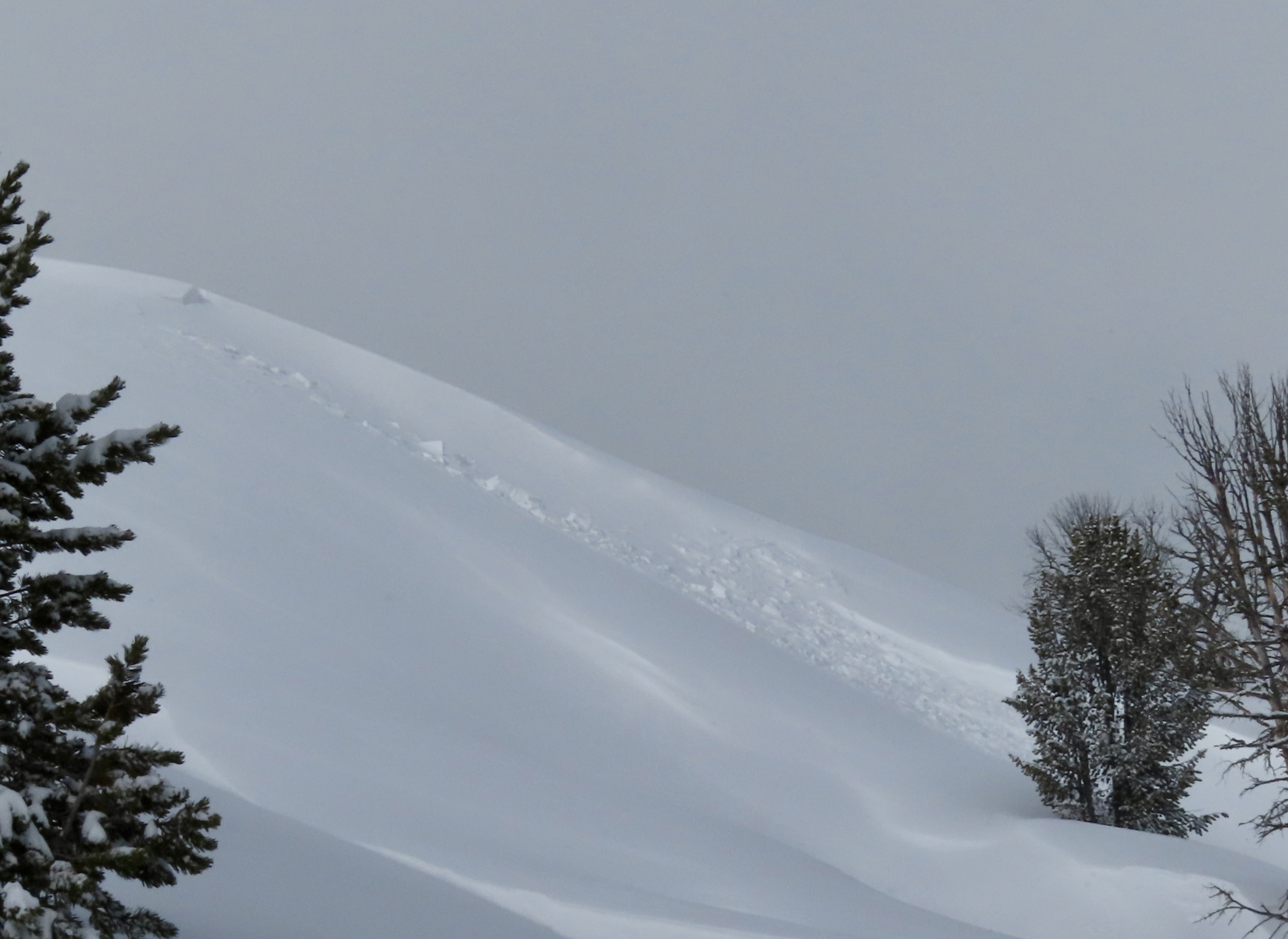
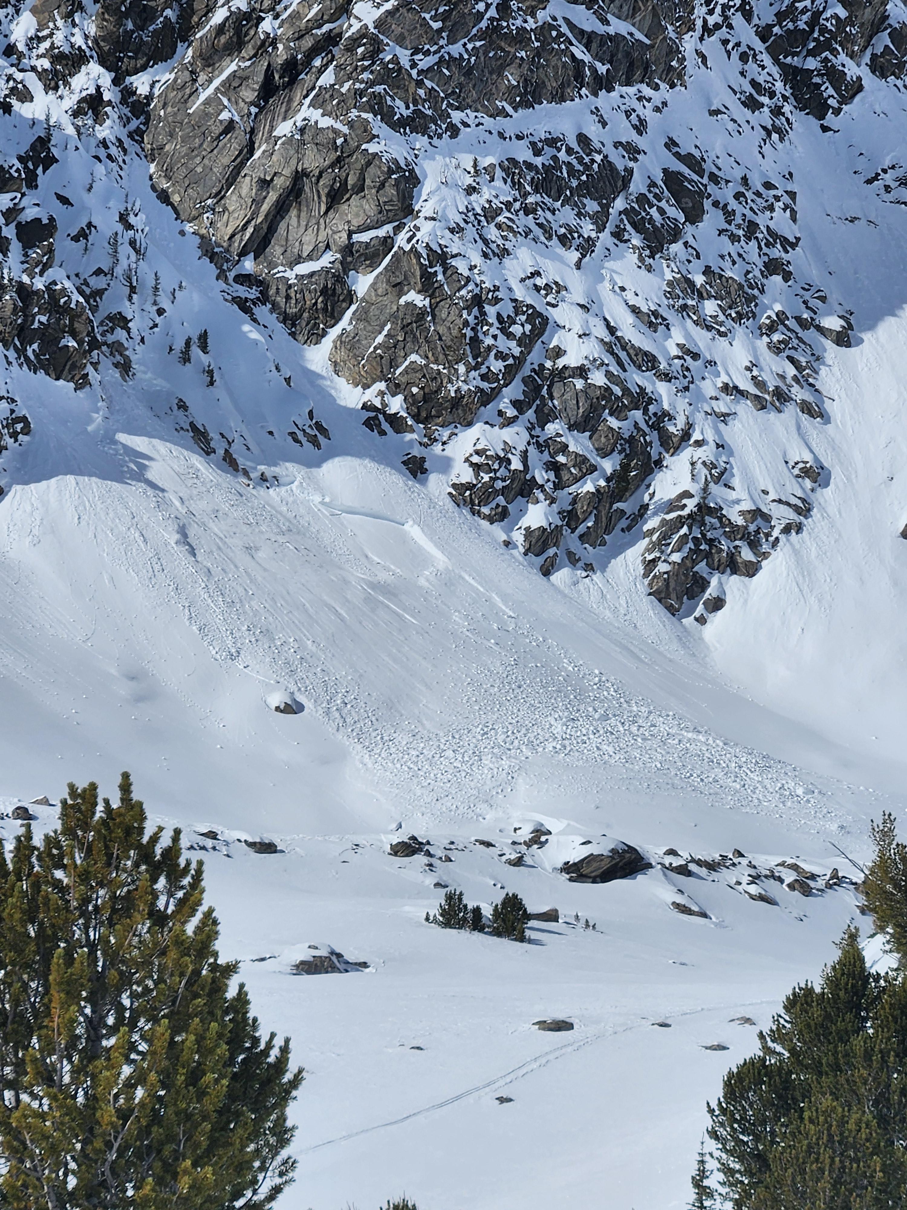
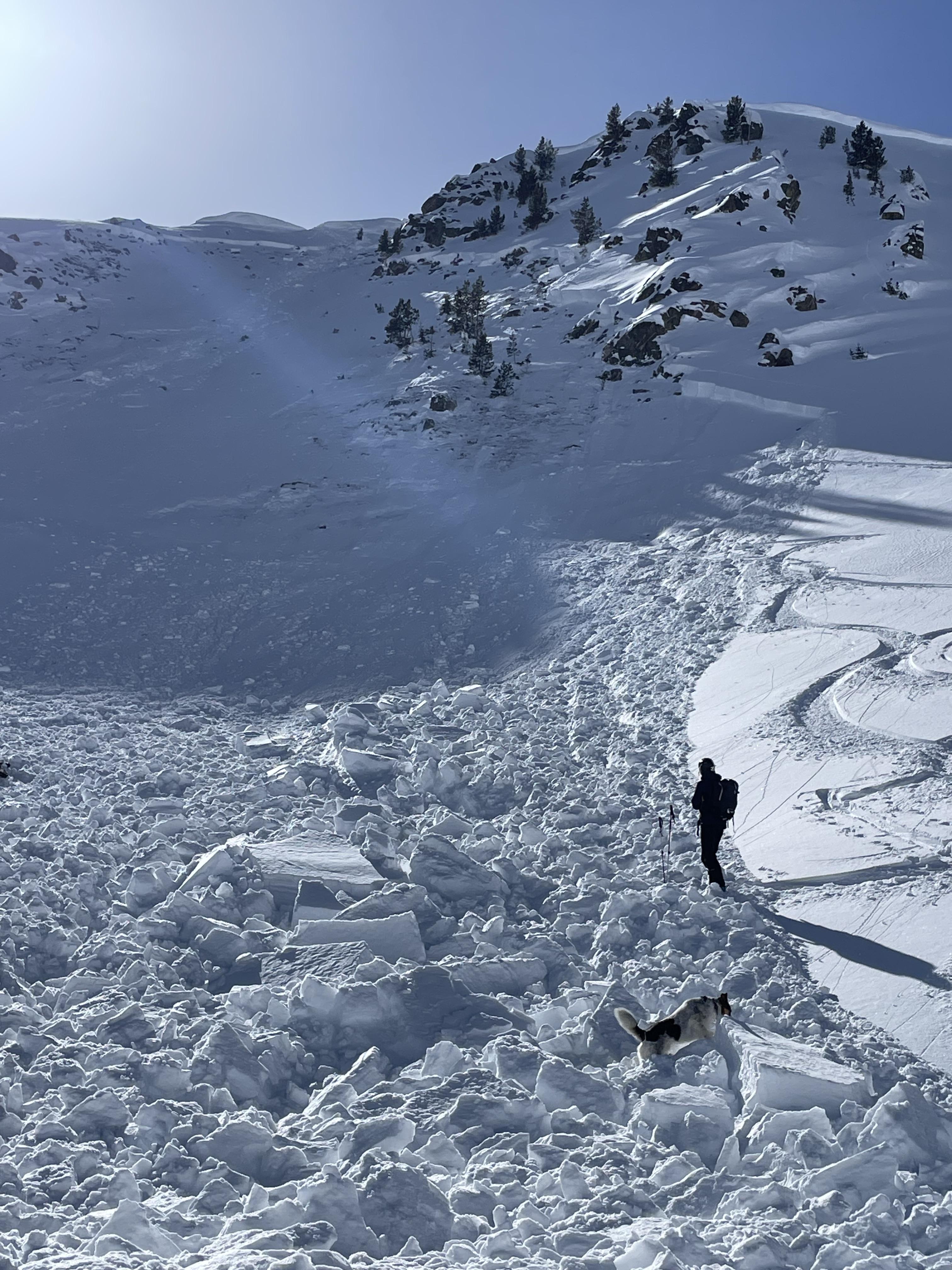
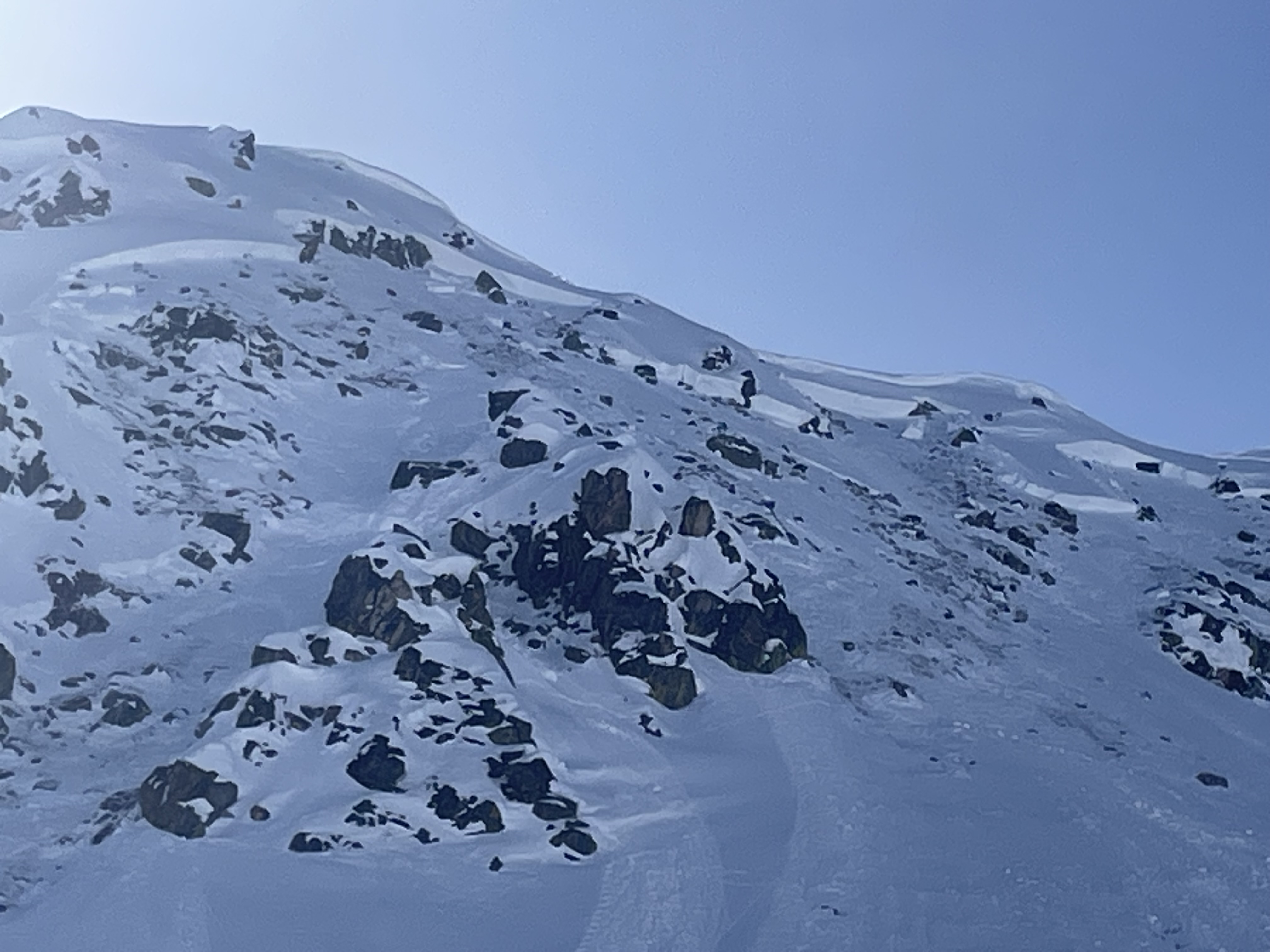
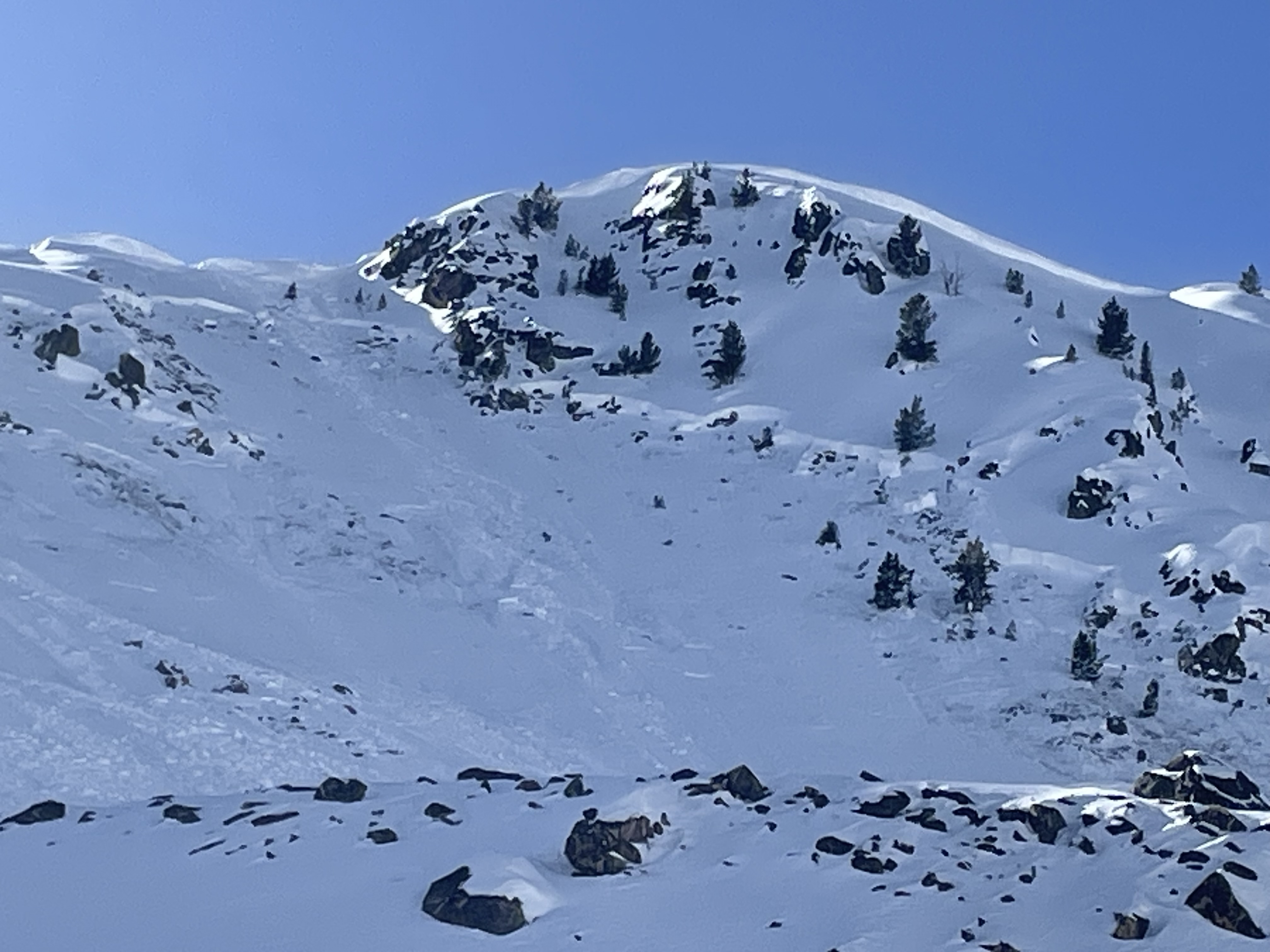
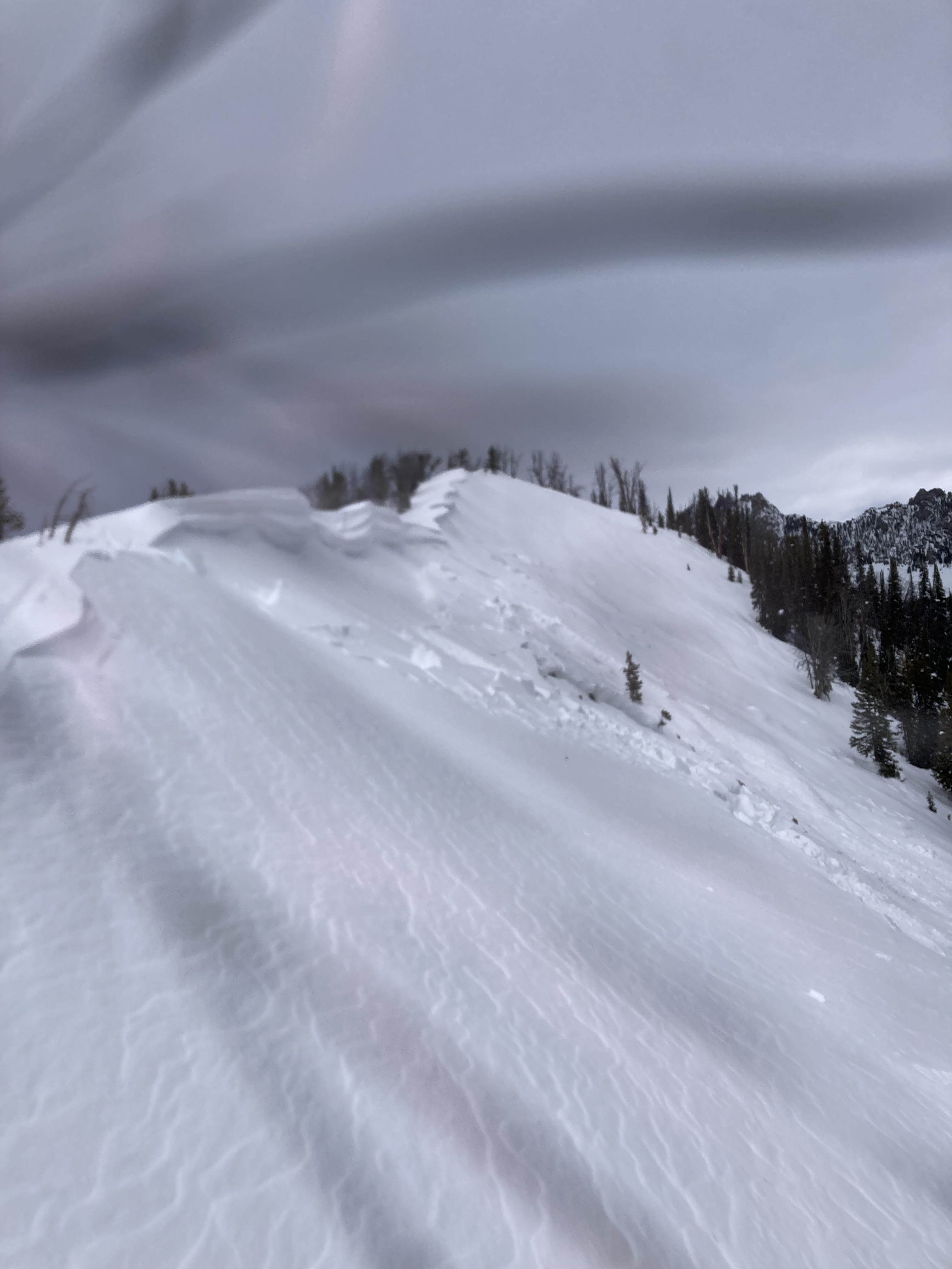
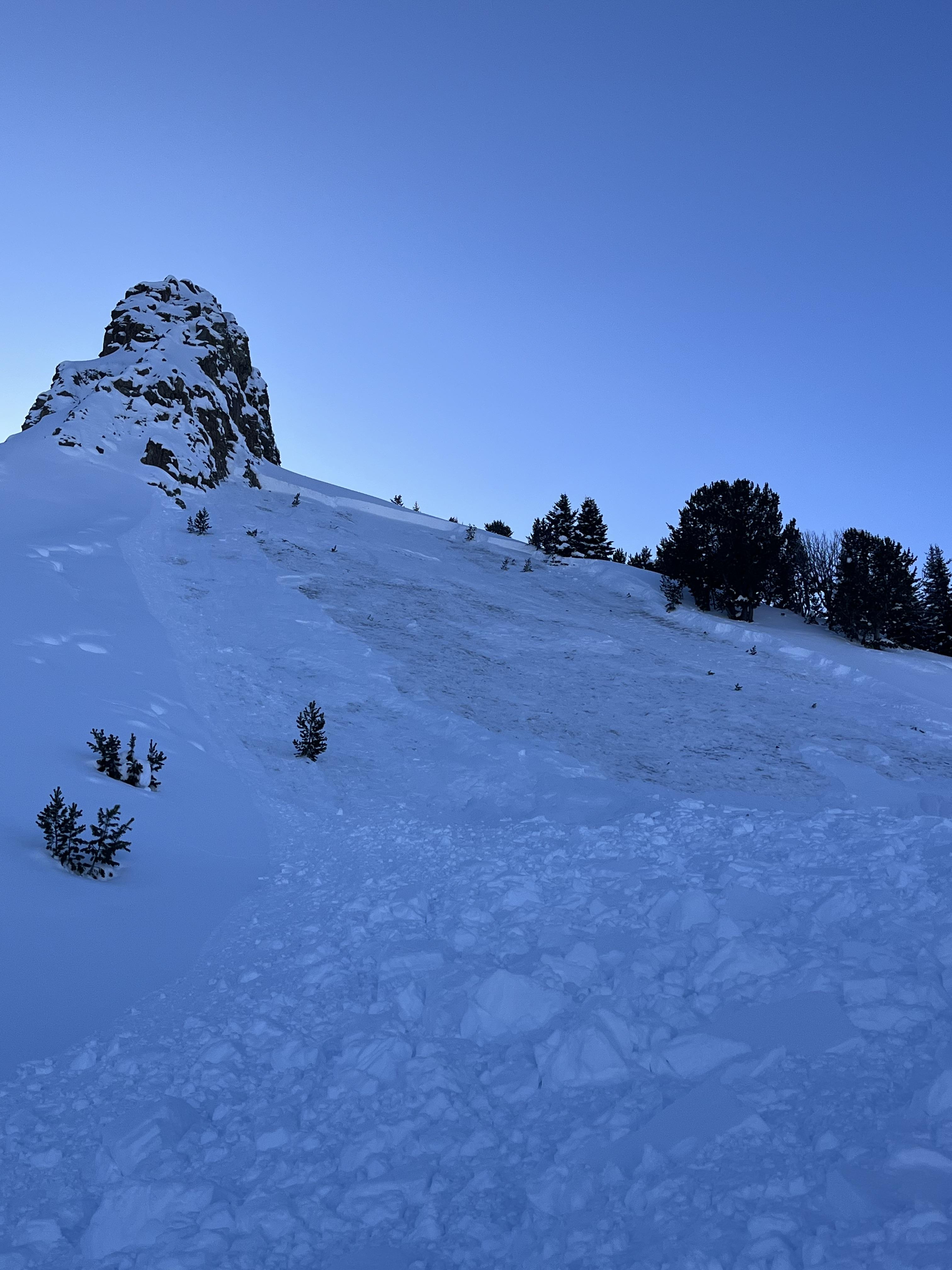
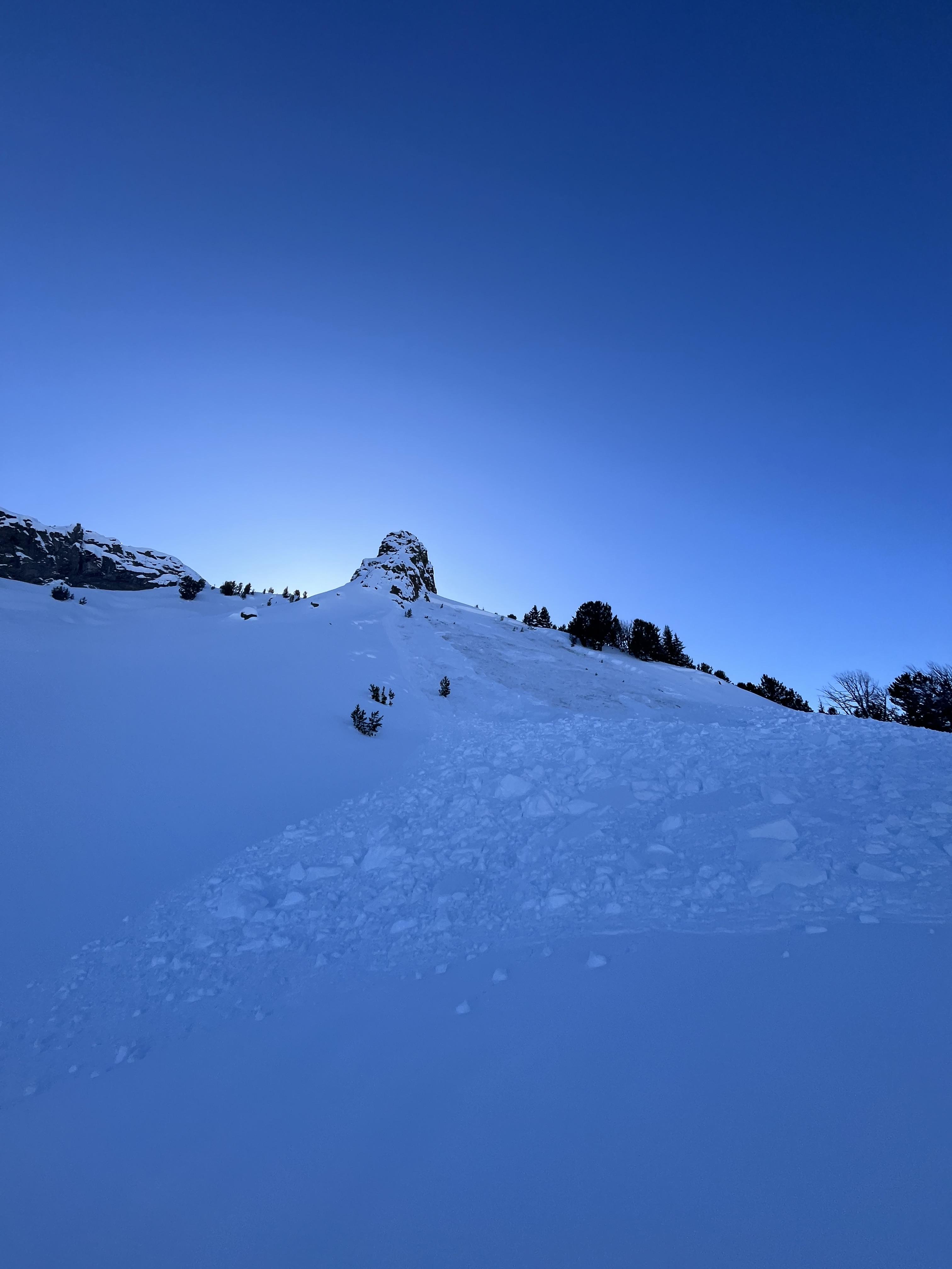
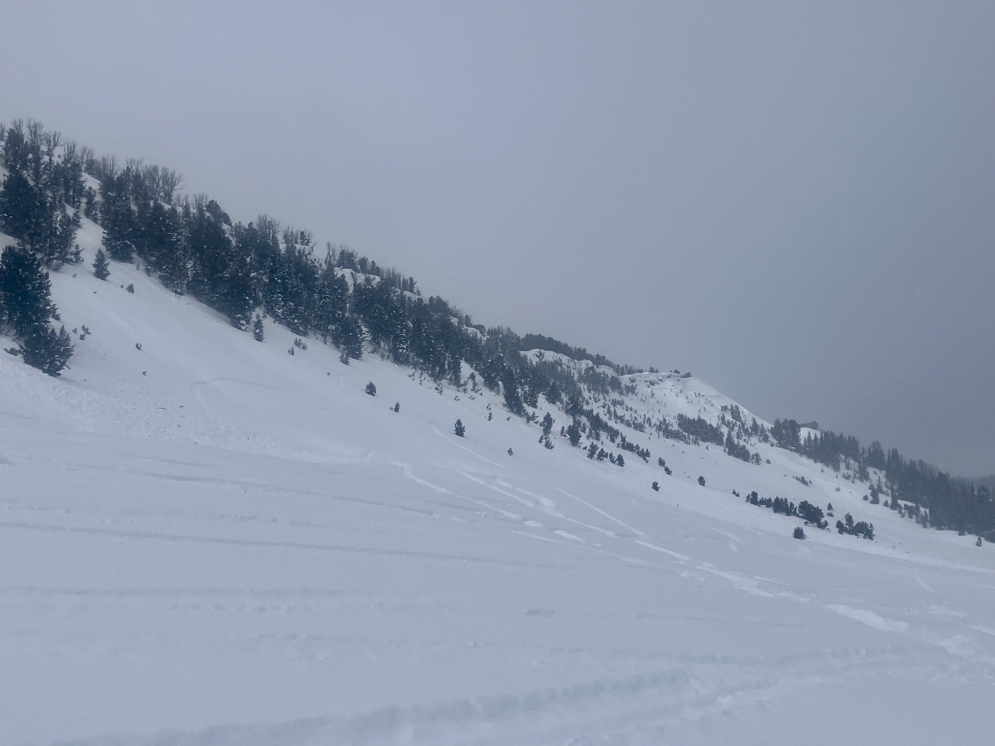
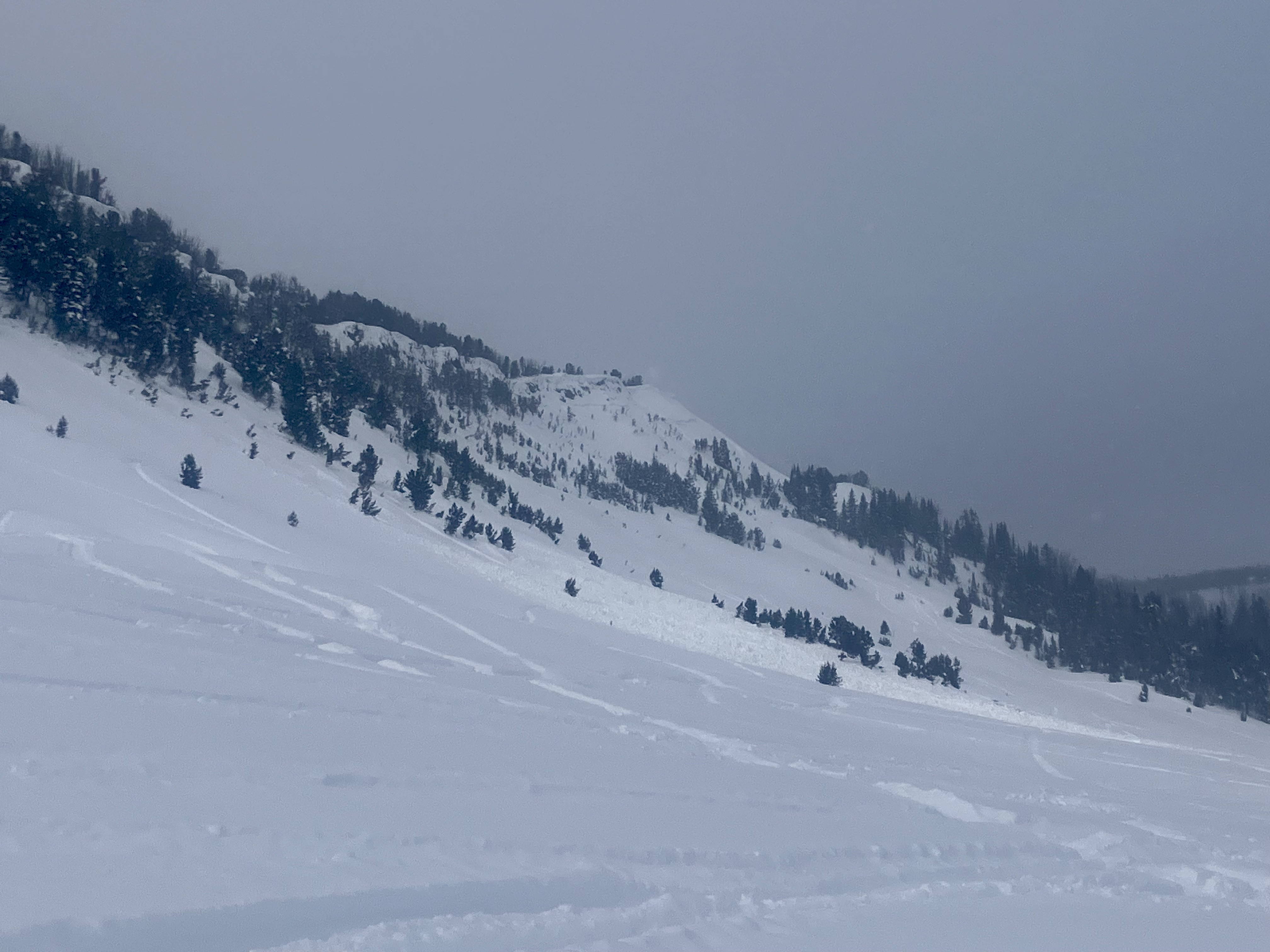
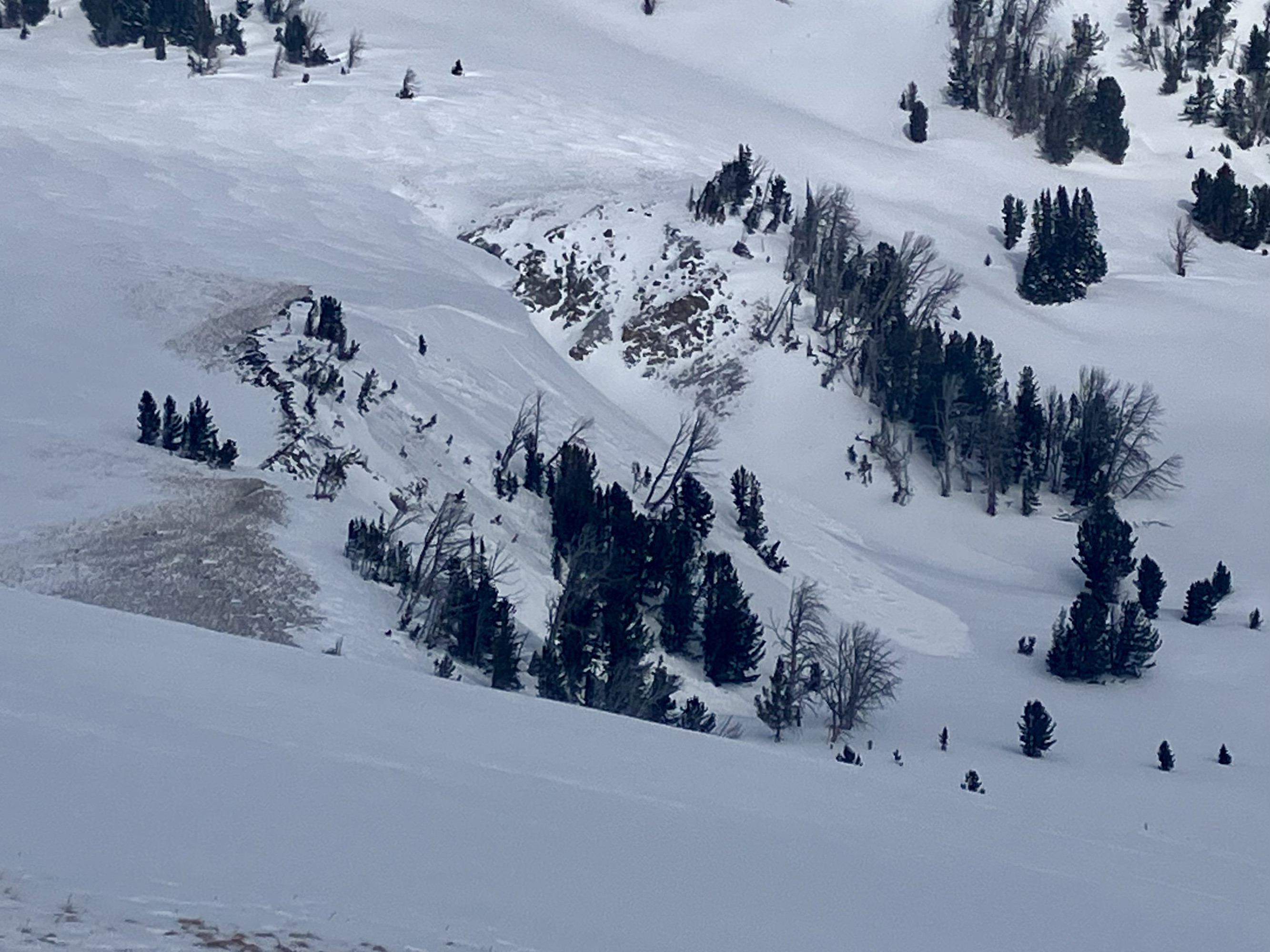
Skier triggered large Wet loose on the fin
Republic Mountain
L-ASu-R2-D2-I
Elevation: 10,000
Aspect: E
Coordinates: 45.0003, -109.9540
Caught: 0 ; Buried: 0
More Avalanche Details
L-ASu-R2-D2-I
Elevation: 10,000
Aspect: E
Coordinates: 45.0003, -109.9540
Caught: 0 ; Buried: 0
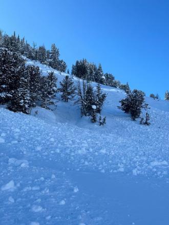
From obs.: “Our party (3) triggered a significant wet loose slide on the fin today. I, the first skier dropped in next to existing tracks from earlier in the morning. I made a couple of small turns in unskied snow to test it and decided that not much was moving. As I continued down the wet surface snow started to slide and accumulate. My partner called me on the radio to tell me a lot of snow was moving behind me and I cut left. I traversed hard to lower angle terrain until I felt I could safely descend the rest of the slope. My partners descended the bed surface until they could traverse out.
We made several key mistakes today. We knew it would be warm and that we should be up and down early. We left later than planned, moved slower than expected and failed to adjust our plan. We mistook lack of wet loose activity on similar aspects and elevations on features we could see as sign of stability. We failed to make a plan B or establish a turnaround time. We interpreted a party ahead of us that skied the slope as a go ahead. Another party approaching behind us added pressure to go. They also skied the slope after us in similar style to my partners.
In our favor, we communicated well, radios were key, stayed calm and we managed ourselves through the situation. I feel humbled and lucky to have gotten away with a free lesson. One that I didn't think I should have needed.”
More Avalanche Details
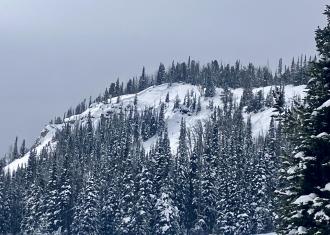
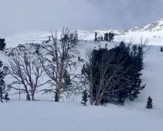
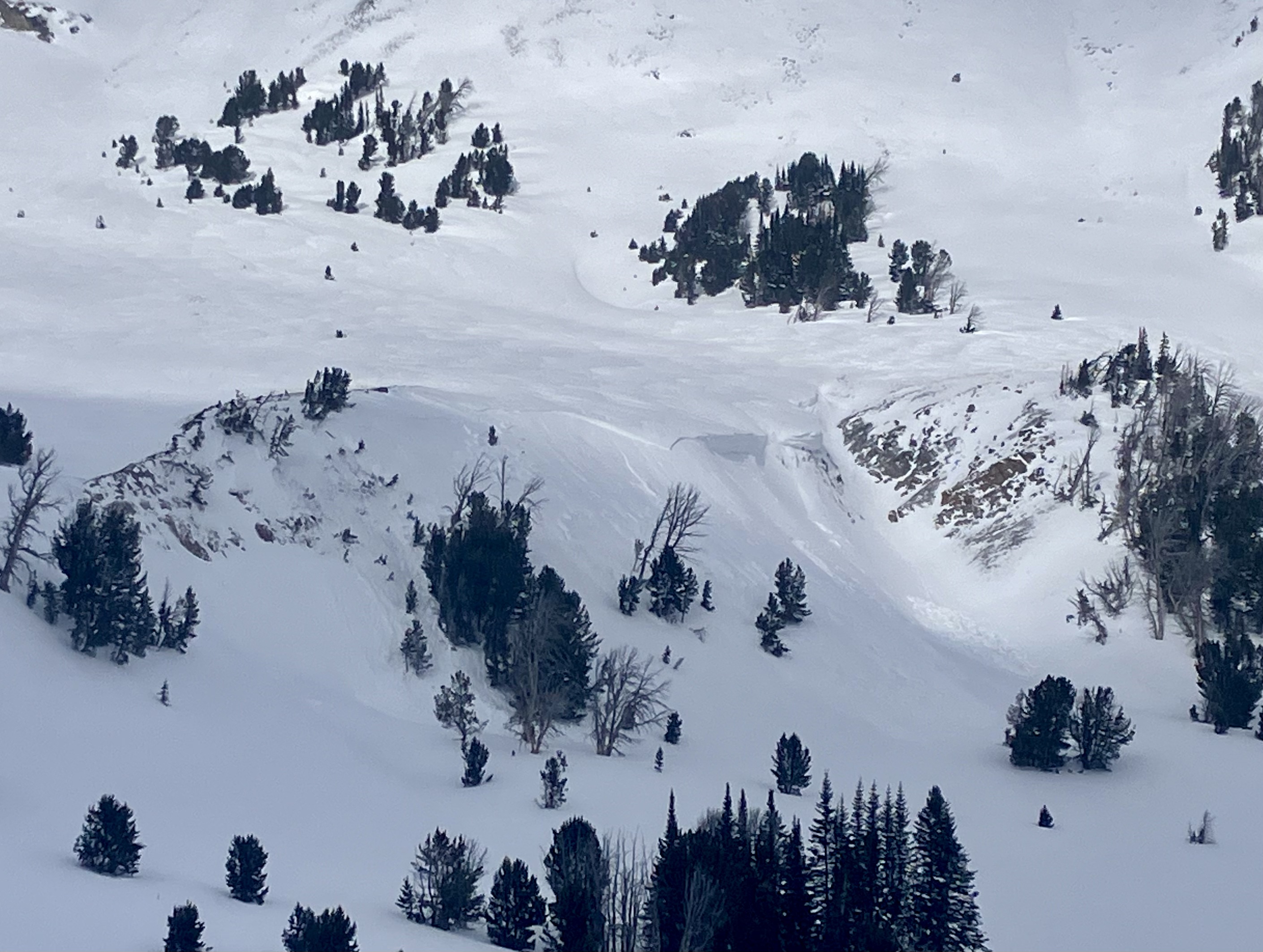
Northern Madison
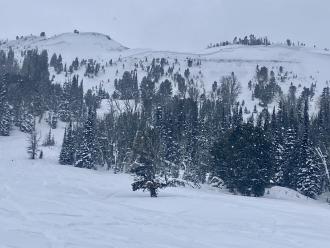
Beehive Basin
Whumps/Collapses in Beehive
Beehive Basin
Coordinates: 45.3407, -111.3910
Caught: 0 ; Buried: 0
More Avalanche Details
Coordinates: 45.3407, -111.3910
Caught: 0 ; Buried: 0
From obs: "When setting out to Beehive Basin today we only imagined wanting to bail if rain line was at the trailhead, but had not expected our seasons long standing PWL to turn us around. With a few inches of snow at the trailhead and temps just at freezing we set out. The new snow yesterday/last night capped a warm snowpack, keeping the snowpack from freezing at all (no crusts or other signs of superficial freezes up to 9,2000ft where we bailed despite the mid-20’s temps recorded overnight). Almost immediately out of the trailhead we got thunderous collapses so big we at first thought it was noise from control work at Big Sky. Further along we got collapses extending hundreds of feet out, valley wide and echoing up the basin. We dug to the bottom out of curiosity and found a saturated and unfrozen snowpack. The bottom 30cm was still all facets, giving the appearance that the remaining 90-110cm of consolidated snowpack was floating on air. We’re assuming the whumps/collapses are traveling along this layer of basal facets. I’m sure once it gets a solid freeze things will be alright again, but will the new snow continue to insulate the snowpack the next few nights despite the forecasted solid freezing temps? Or is this only a phenomenon that happens the 1st night of new snow falling on a warm snowpack? "
More Avalanche Details
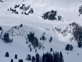
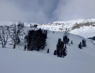
Northern Madison
Beehive Basin
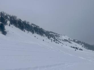
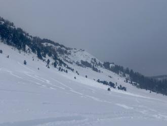
Loose Snow avalanches in Beehive and Bear Basins
Beehive Basin
L-AS
Coordinates: 45.3477, -111.3890
Caught: 0 ; Buried: 0
More Avalanche Details
L-AS
Coordinates: 45.3477, -111.3890
Caught: 0 ; Buried: 0
From obs: "We saw several loose avalanches on WSW, ESE & SSE aspects of the ridge between beehive and bear basin. The one on the ESE slope may have been skier triggered (by another group) and the rest appeared to be natural. We found a strong crust beneath the foot of new snow throughout our route. We didn't see any cracks or whumphs, and the new snow wasn't reactive in hand pits. The snow surface was getting wet as we exited to the beehive trailhead around 3pm."
More Avalanche Details
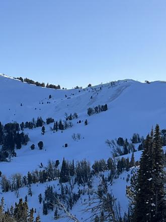
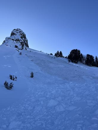
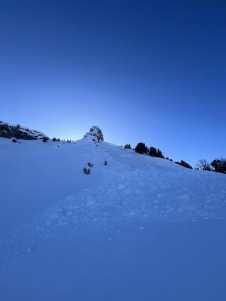
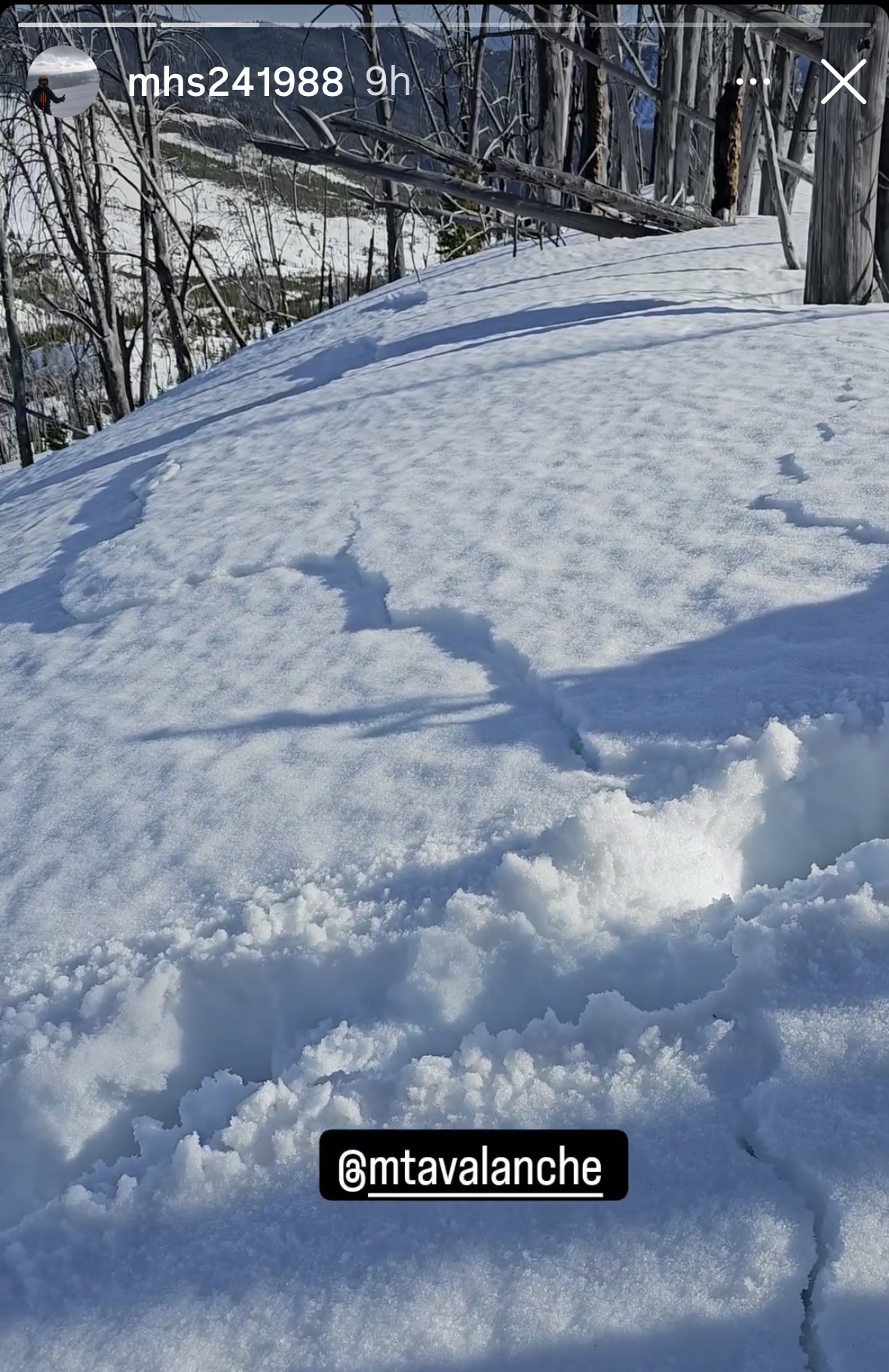
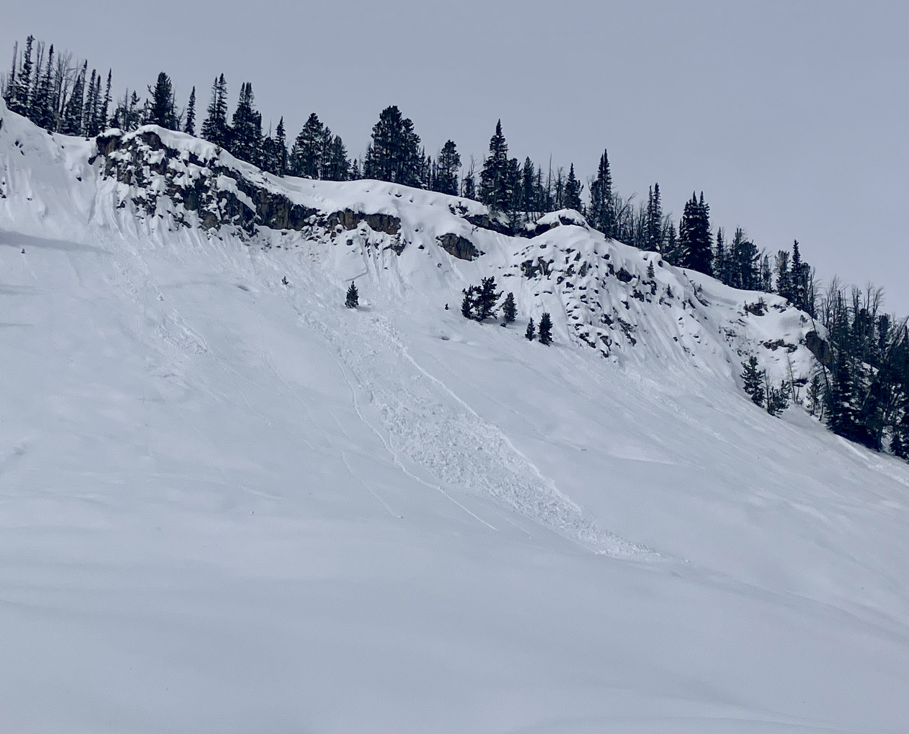
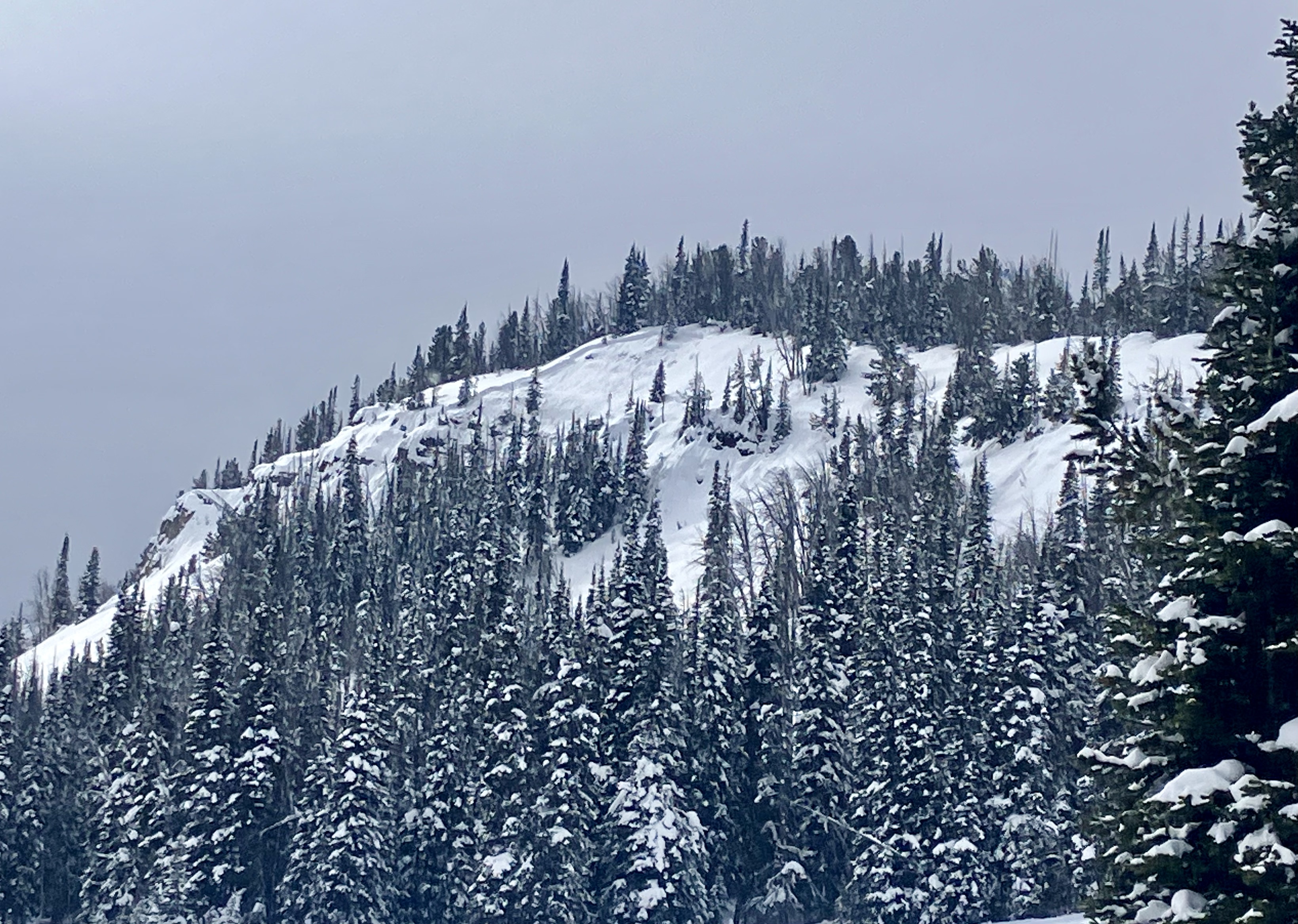
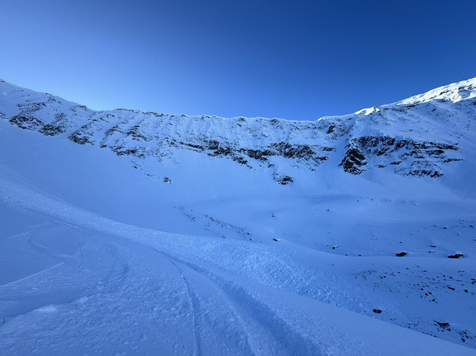
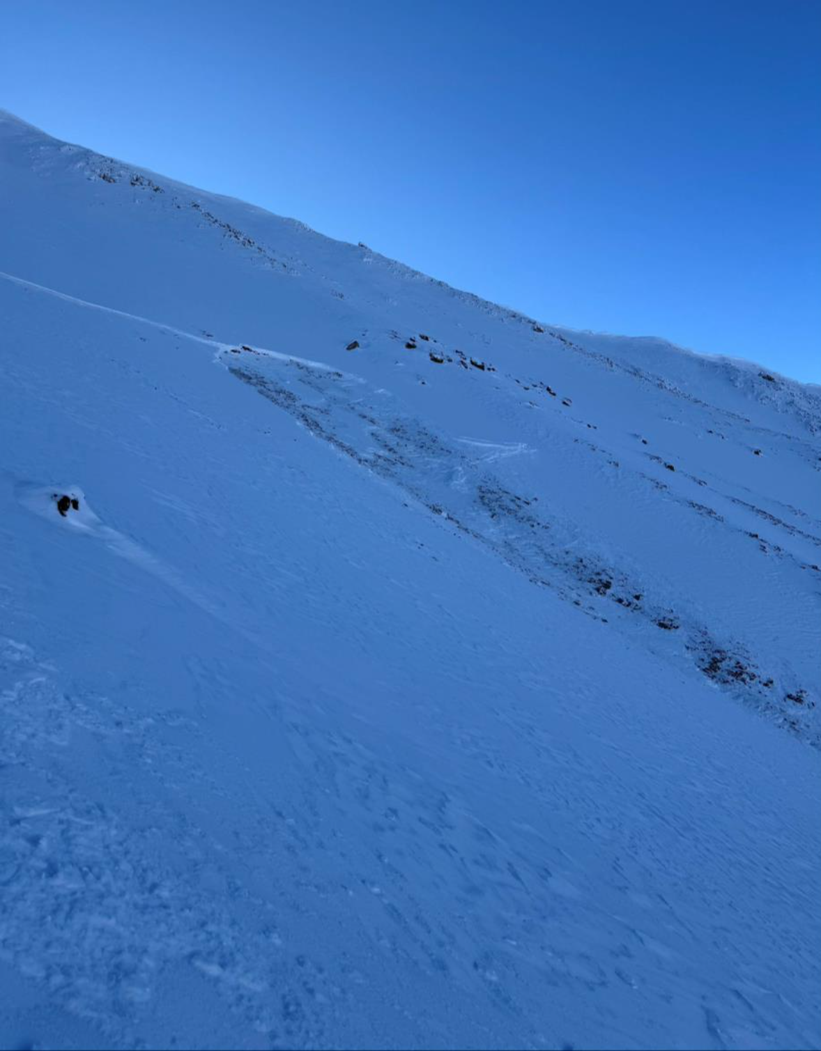
Relevant Photos
Displaying 1 - 40
-

-
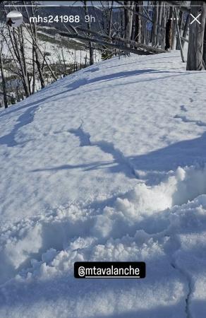
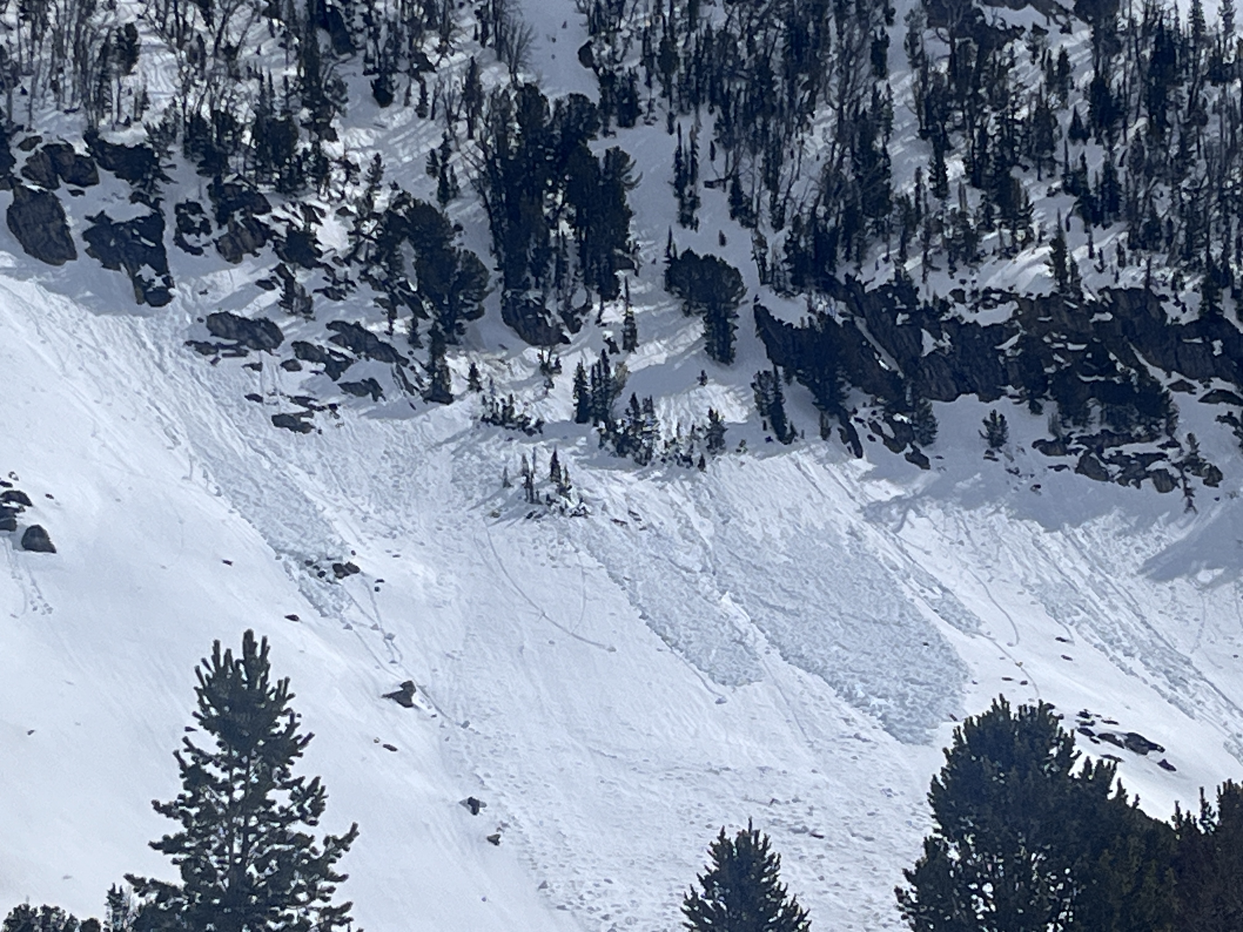
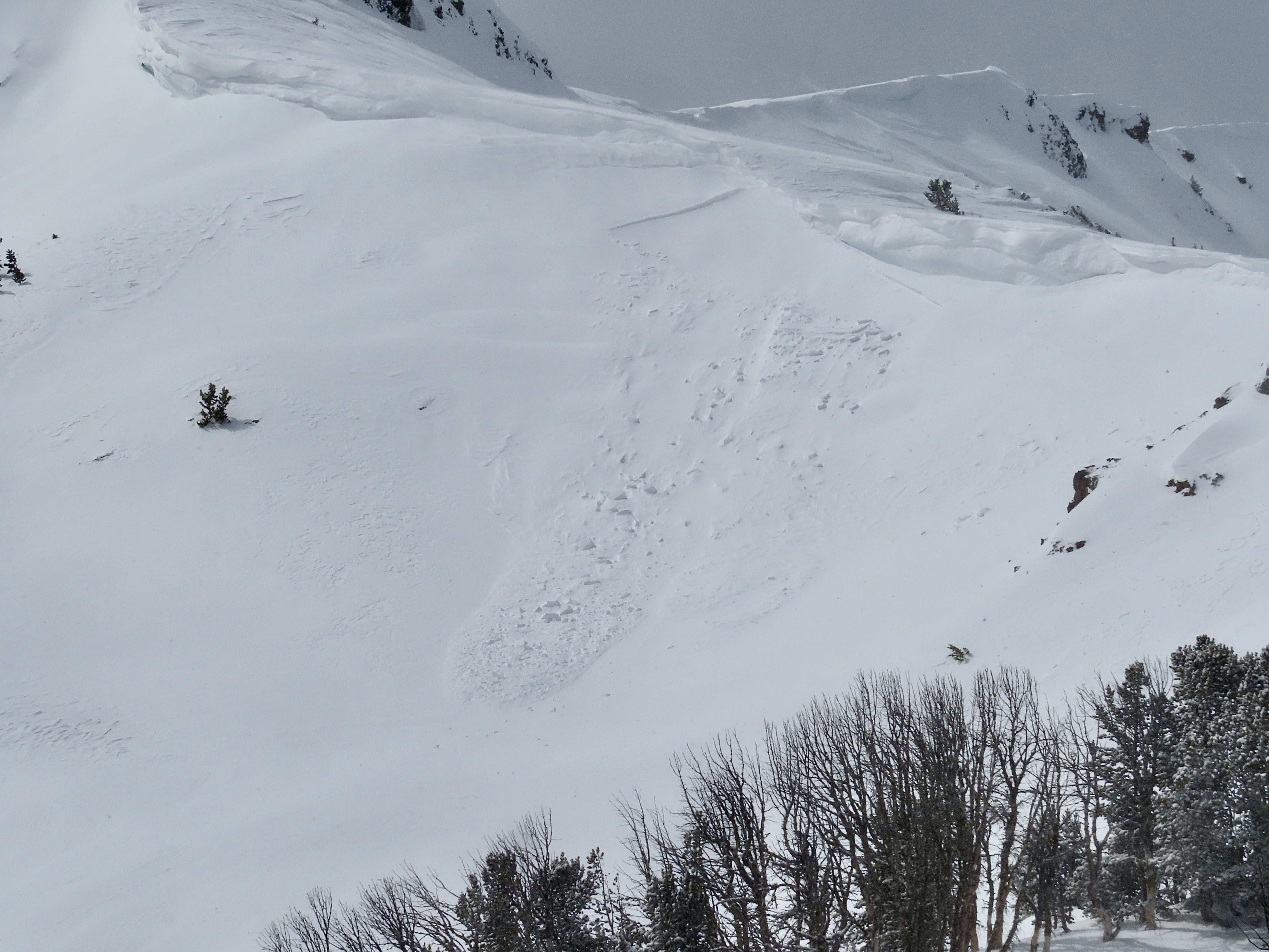
A group remotely triggered a wet slab avalanche from the ridge top. There were shooting cracks that connected their location to the avalanche. This is an interesting of persistent weak layer and wet snow avalanche problems. Photo: M Harry
-
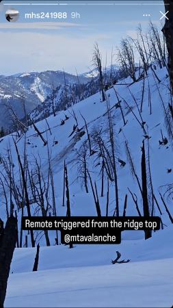
A group remotely triggered a wet slab avalanche from the ridge top. There were shooting cracks that connected their location to the avalanche. This is an interesting of persistent weak layer and wet snow avalanche problems. Photo: M Harry
-
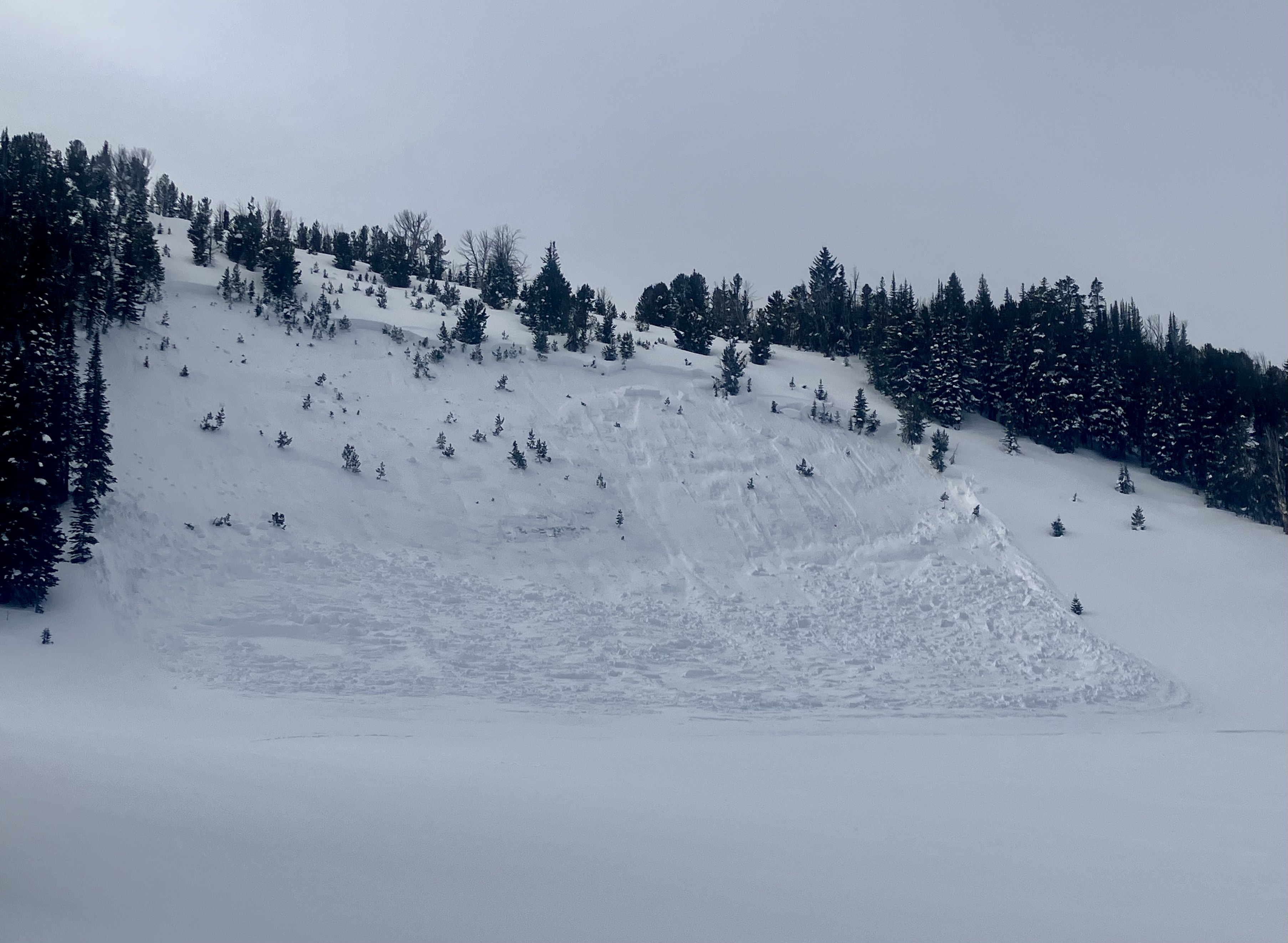
Observed on 04/05/2024: "Photo of recent loose wet avalanches that likely happened 24-48 hours ago on SW-W aspect at ~9800'" Photo: Z. Peterson
-

Observed on 04/05/2024: "Photo of recent loose wet avalanches that likely happened 24-48 hours ago on SW-W aspect at ~9800'" Photo: Z. Peterson
-
On a small test slope near Muddy Creek we intentionally triggered several small avalanches in wind-loaded terrain by knocking chunks of cornice off. Photo: GNFAC
-
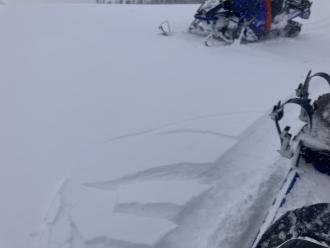
While riding we saw cracking forming near our sleds in fresh drifts: Photo: GNFAC
-
Strong wind transporting snow at ridge tops. Photo: GNFAC
-
We saw this recent avalanche near the Bear Creek wilderness boundary while riding on 03/24/2024. Photo: GNFAC
-
We saw this natural avalanche on a wind-loaded slope behind McAtee Basin. Photo: GNFAC
-
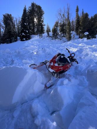
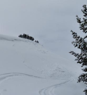
A rider triggered this avalanche in Taylor Fork on 3/16/24. "Avalanche broke about 400ft wide and slid for 250 ft. 4-2ft deep at the crown."
-
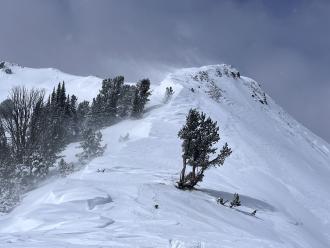
Skiers saw a natural avalanche on east-facing terrain at 9500' in Beehive Basin. Photo: Anonymous
-
Skiers triggered this slope by dropping a section of cornice onto the slope. This avalanche broke 500' wide, and ranged in depth from 18" or 6'. Photo: P. Hess
-
Skiers triggered this slope by dropping a section of cornice onto the slope. This avalanche broke 500' wide, and ranged in depth from 18" or 6'. Photo: P. Hess
-
Skiers triggered this slope by dropping a section of cornice onto the slope. This avalanche broke 500' wide, and ranged in depth from 18" or 6'. Photo: P. Hess
-
Skiers triggered this slope by dropping a section of cornice onto the slope. This avalanche broke 500' wide, and ranged in depth from 18" or 6'. Photo: P. Hess
-

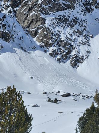
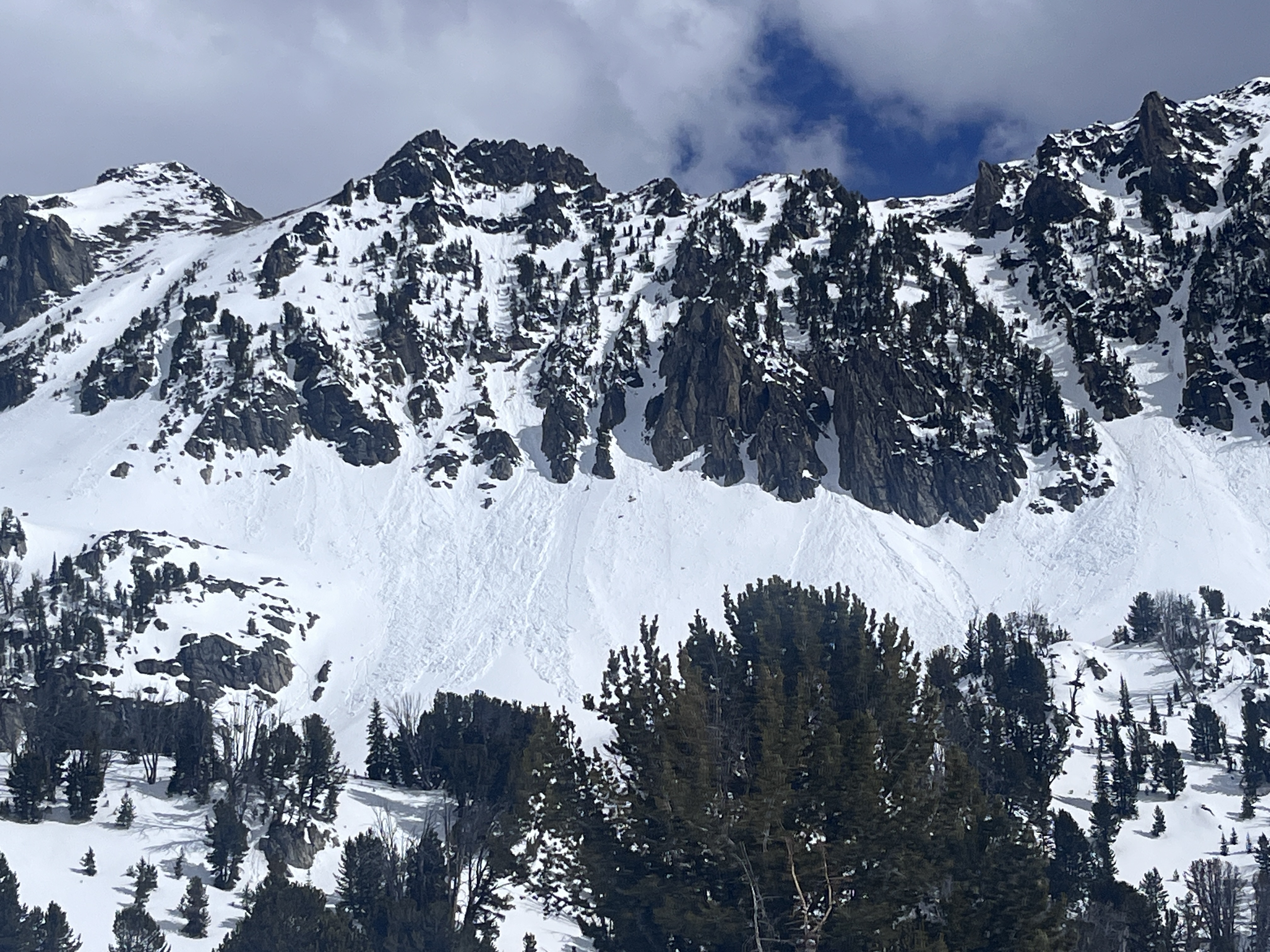
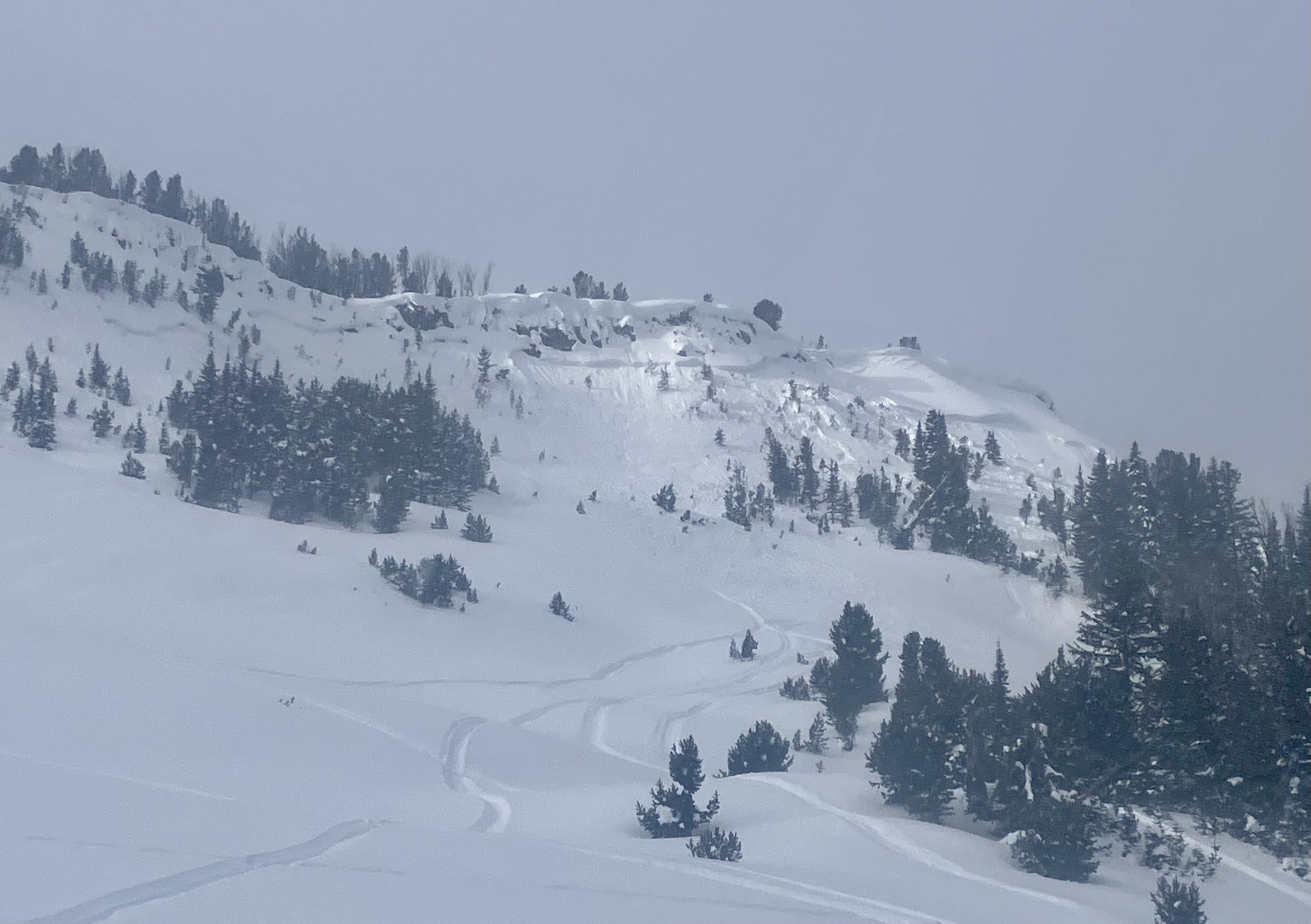
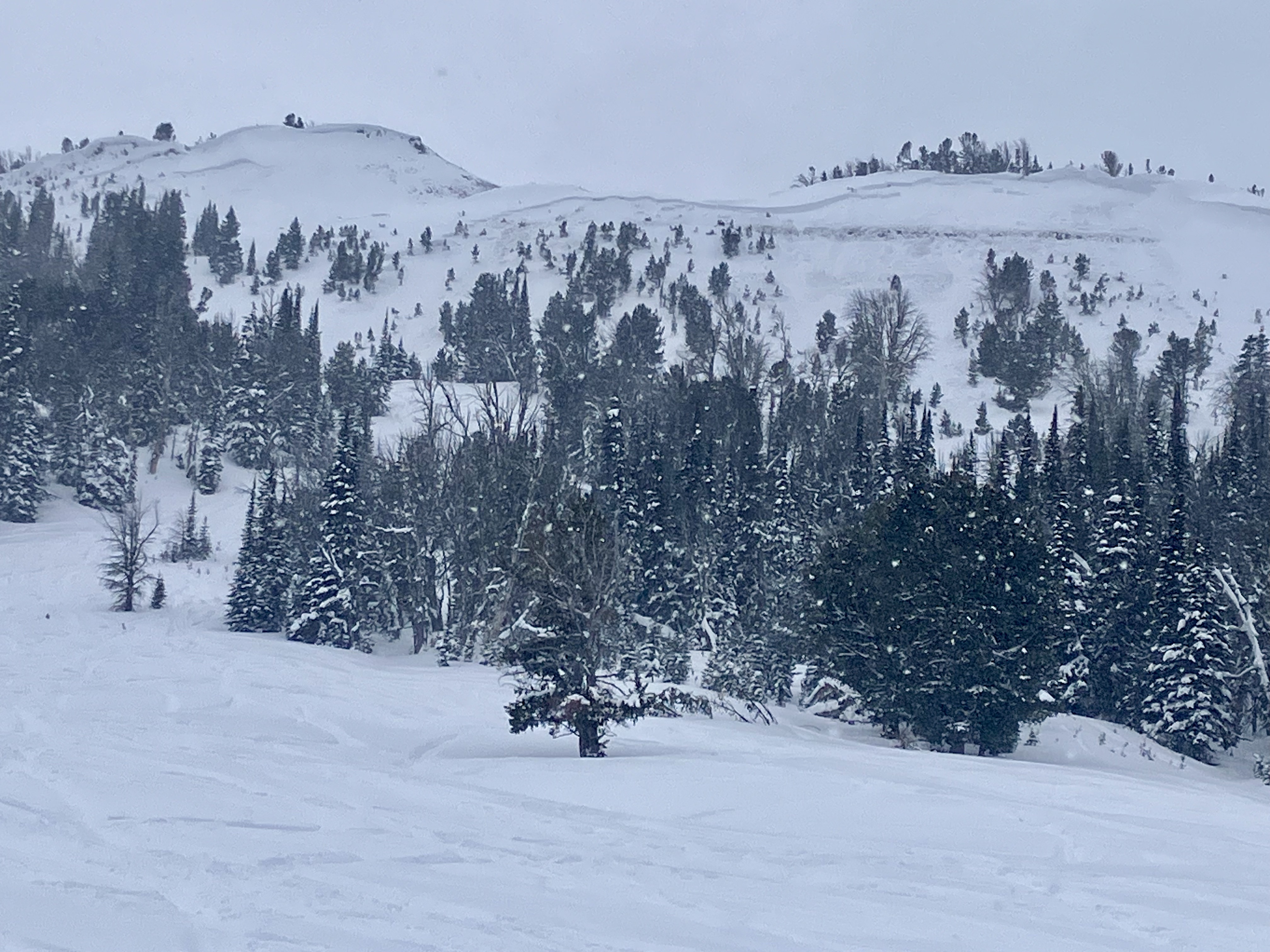
From obs: "On a tour up Middle Peak, I saw recent avalanches, with large propagation in Middle Basin and Beehive Basin." Photo Anonymous
-
From obs: "On a tour up Middle Peak, I saw recent avalanches, with large propagation in Middle Basin and Beehive Basin." Photo Anonymous
-
From IG: "Buck ridge south of slatts hill, remote trigger by a snowmobile today"
-

Skiers in Beehive Basin saw a natural avalanche on an east-facing slope. This avalanche likely happened in the last 24-48 hours. Photo: E. Heiman
-
Skiers intentionally triggered a small avalanche near the prayer flags in Bear Basin. This slope has avalanched previously this season. Photo: J Alford
-
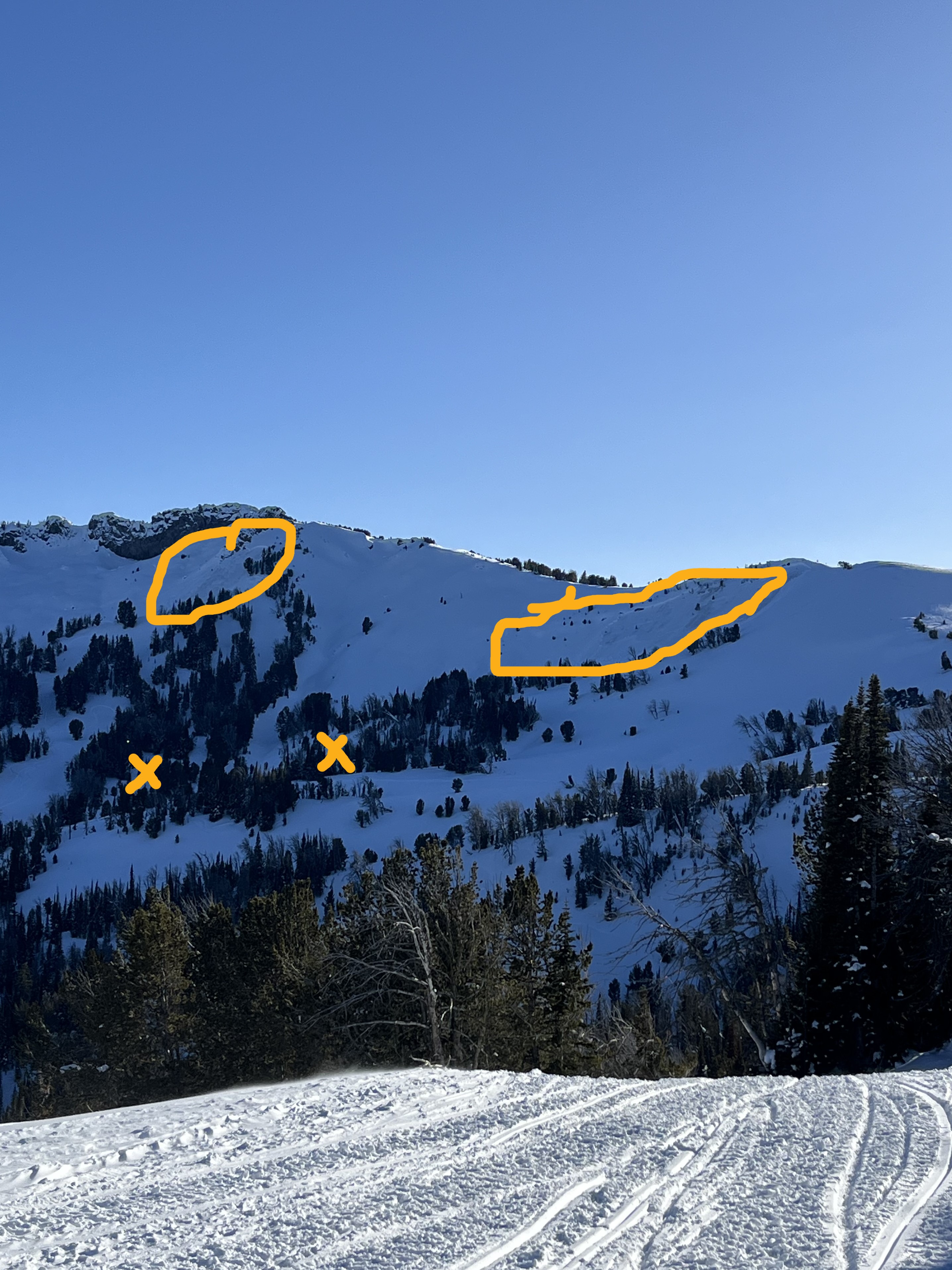
Riders triggered this pair of avalanches while crossing below this terrain, roughly 150 yards away. The location of the triggers is marked by the "x's" in the photo. Photo: M. Rolfson
-
Riders triggered this pair of avalanches while crossing below this terrain, roughly 150 yards away. Photo: M. Rolfson
-
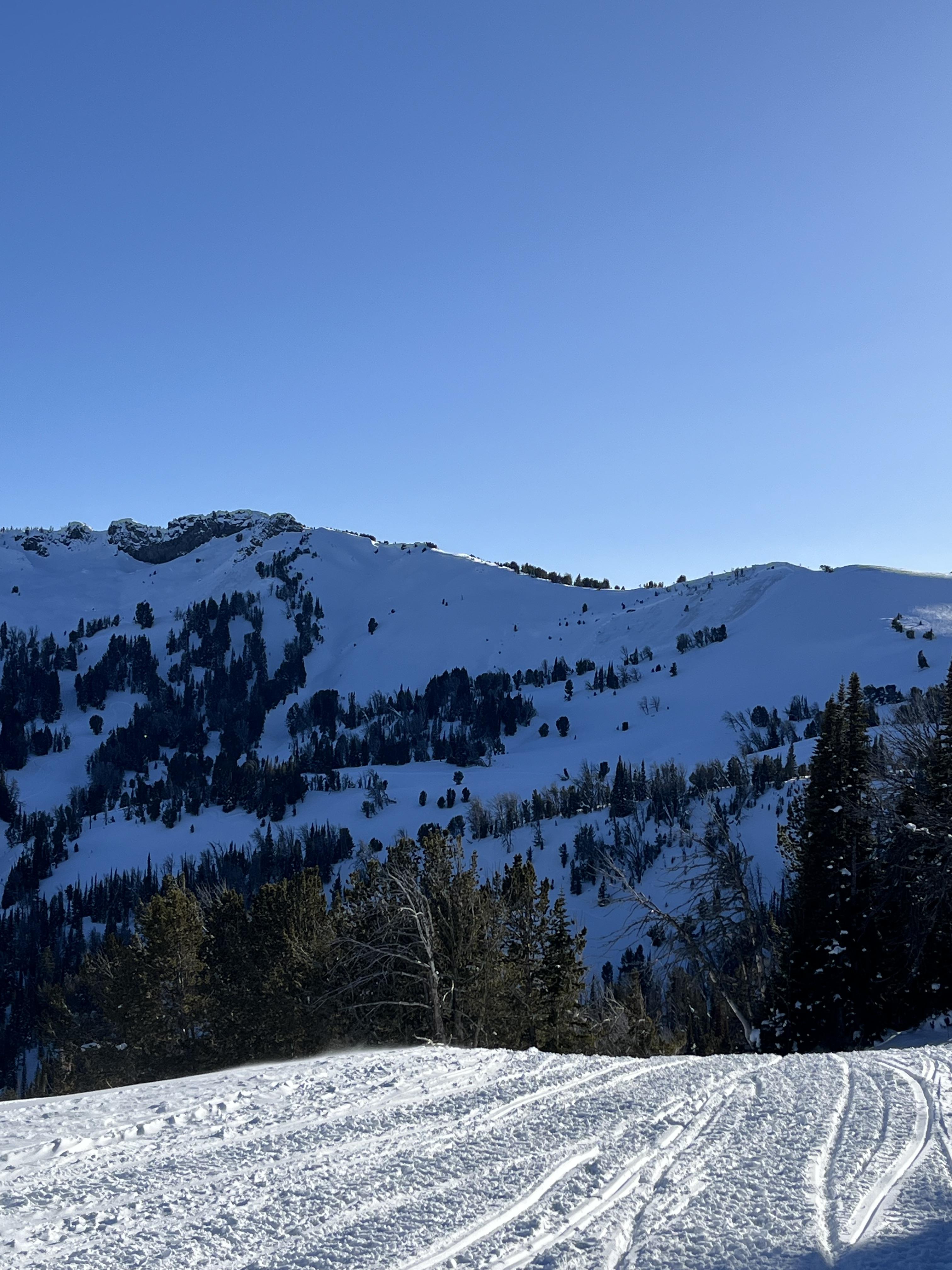
Rider on 02/23/2024 observed this large avalanche next to another avalanche they had triggered remotely. They likely triggered this one as well from afar while cross terrain below. Photo: M. Rolfson
-
Riders on 02/23/2024 triggered this avalanche from 150 yards away while traversing below. Photo: M. Rolfson
-
Riders on 02/23/2024 triggered this avalanche from 150 yards away while traversing below. Photo: M. Rolfson
-
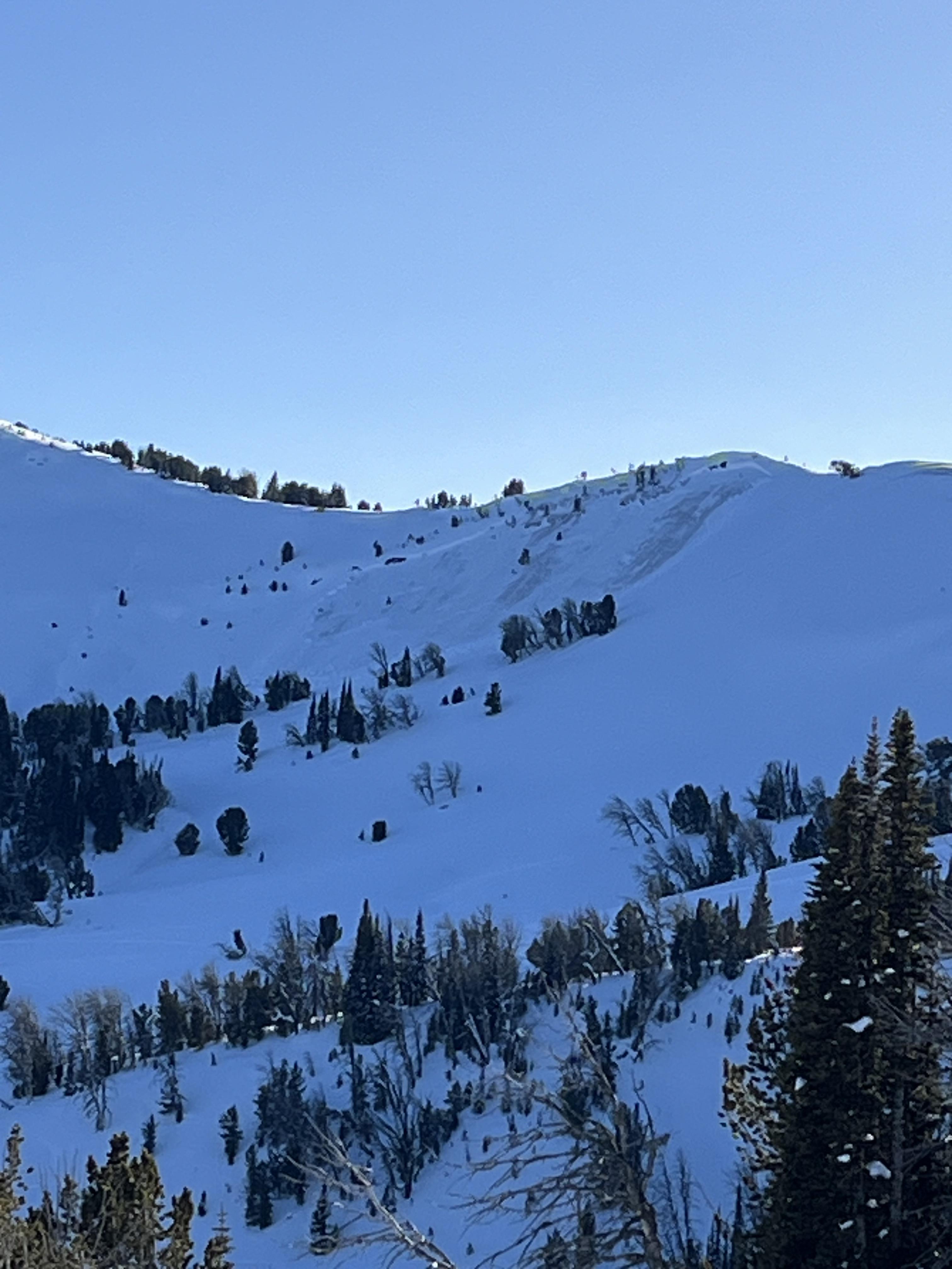
On 2/18/24 near Buck Ridge and Muddy Creek we saw at least eight recent avalanches that occurred at various times over the last 1-3 days, natural and/or remote triggered by riders. A group in the parking lot mentioned seeing many slides actively happen in this area on Friday 2/16. Most were 2-3' deep hard slabs, ranging from 50'-500' wide. Photo: GNFAC
-

An avalanche we either triggered from 750-800 feet away or it broke naturally. This avalanche happened when we were riding near the larger of the two avalanches from yesterday, on the south side of Cedar Mtn. It was a wind-loaded slope, actively loading. The avalanche was ~130' wide with 100' of 4-12" deep new snow/wind slab and 30' wide broke almost 3 feet deep on weak snow near the ground. Photo: GNFAC
-
This avalanche was triggered by riders from flat terrain far below on February 17. Photo: GNFAC
-
From BSSP on 2/17/24: "Midafternoon we received another report of a skier triggered avalanche in the Lone Lake Circe, specifically The Mullet. The reporting party contacted several ski patrollers via cell phone and confirmed that nobody was injured or had taken the full ride. This avalanche failed near the ground on a high elevation NW facing slope with the weight of a single skier with an estimated size of HS-ASu-R3-D2.5-O."


Videos- Northern Madison
WebCams
8800' Camera, Lone Peak view
Yellowstone Club, Timberline Chair

Weather Stations- Northern Madison
Weather Forecast Northern Madison
Extended Forecast for5 Miles NNW Big Sky MT
Winter Storm Warning May 7, 06:00pm until May 9, 12:00amClick here for hazard details and duration Winter Storm WarningThis Afternoon

High: 28 °F
Heavy Snow
and BlusteryTonight

Low: 20 °F
Heavy Snow
and Blowing
SnowWednesday

High: 27 °F
Heavy Snow
and Blowing
SnowWednesday Night

Low: 25 °F
Snow and
BlusteryThursday

High: 36 °F
Chance Snow
Thursday Night

Low: 22 °F
Partly Cloudy
Friday

High: 46 °F
Sunny
Friday Night

Low: 29 °F
Clear
Saturday

High: 51 °F
Sunny
The Last Word
We began daily forecasts on December 7. 130 daily forecasts and 464 reported avalanches later, we wrapped up our daily forecasting season on April 14th. Read our SEASON SUMMARY to look back at the 2023-24 avalanche forecasting season.
Thank you to everyone that sent in observations, read the advisories, took an avalanche class, or donated money, time or gear. Our success is directly related to support from the community and the Forest Service. Have a safe spring and summer!